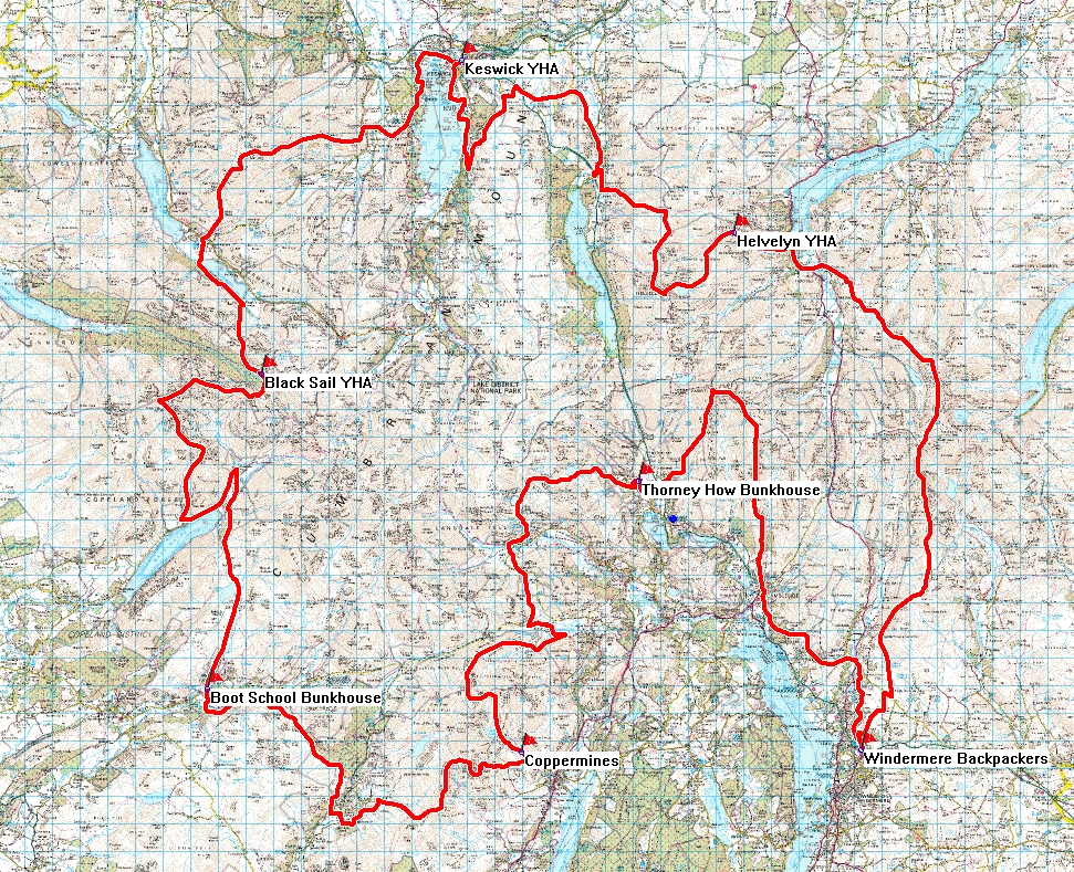
Lakes Trip Day 1 – Keswick to Black Sail Hut – 15 miles
Report by Rachael, pics Torben.
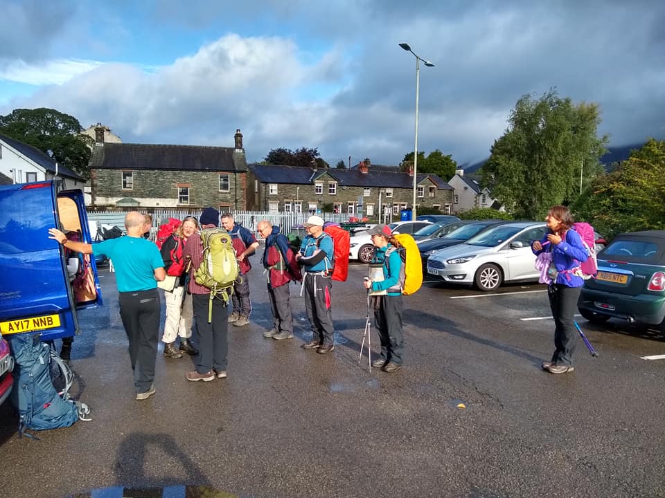
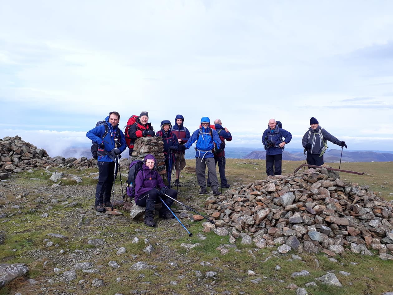
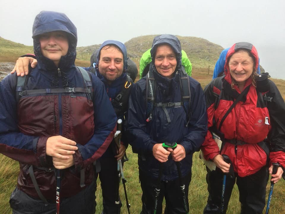
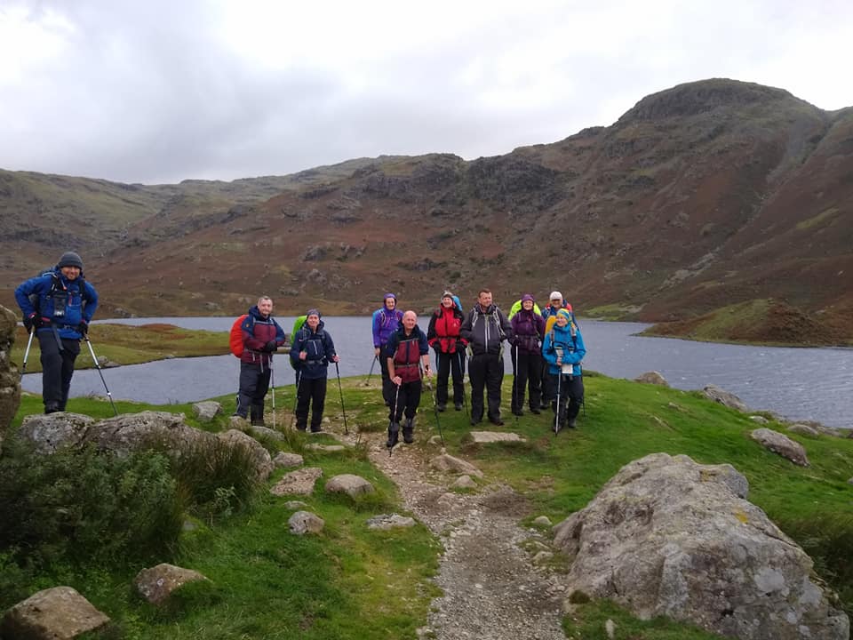
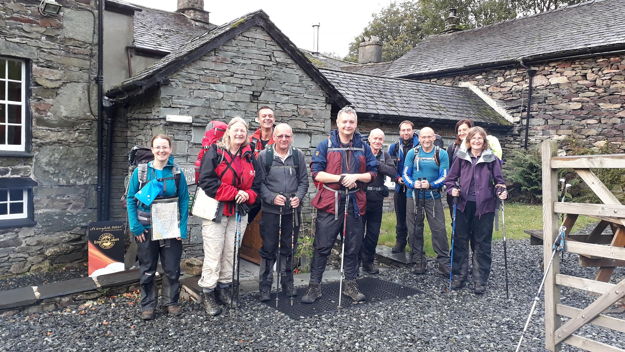
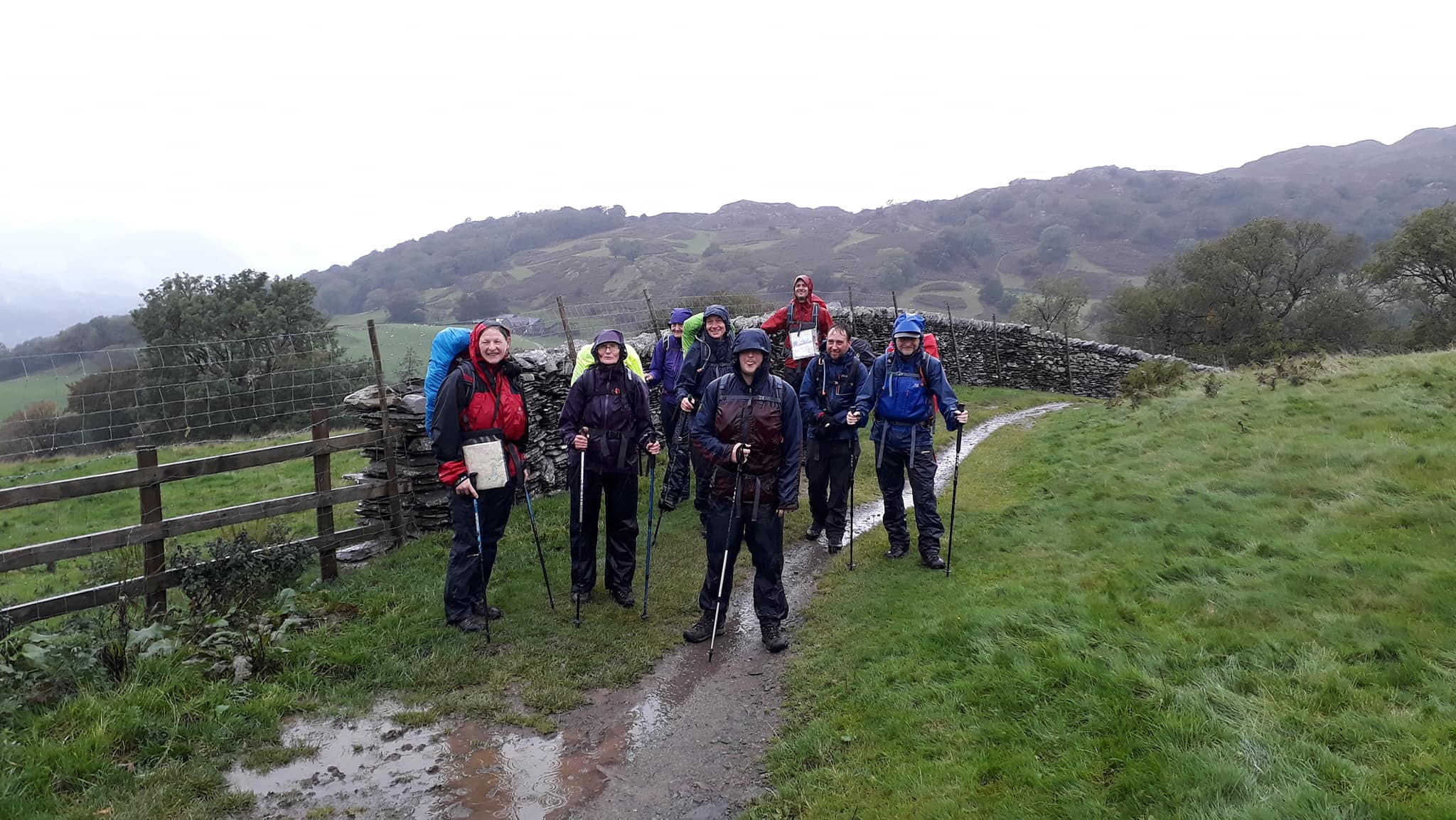
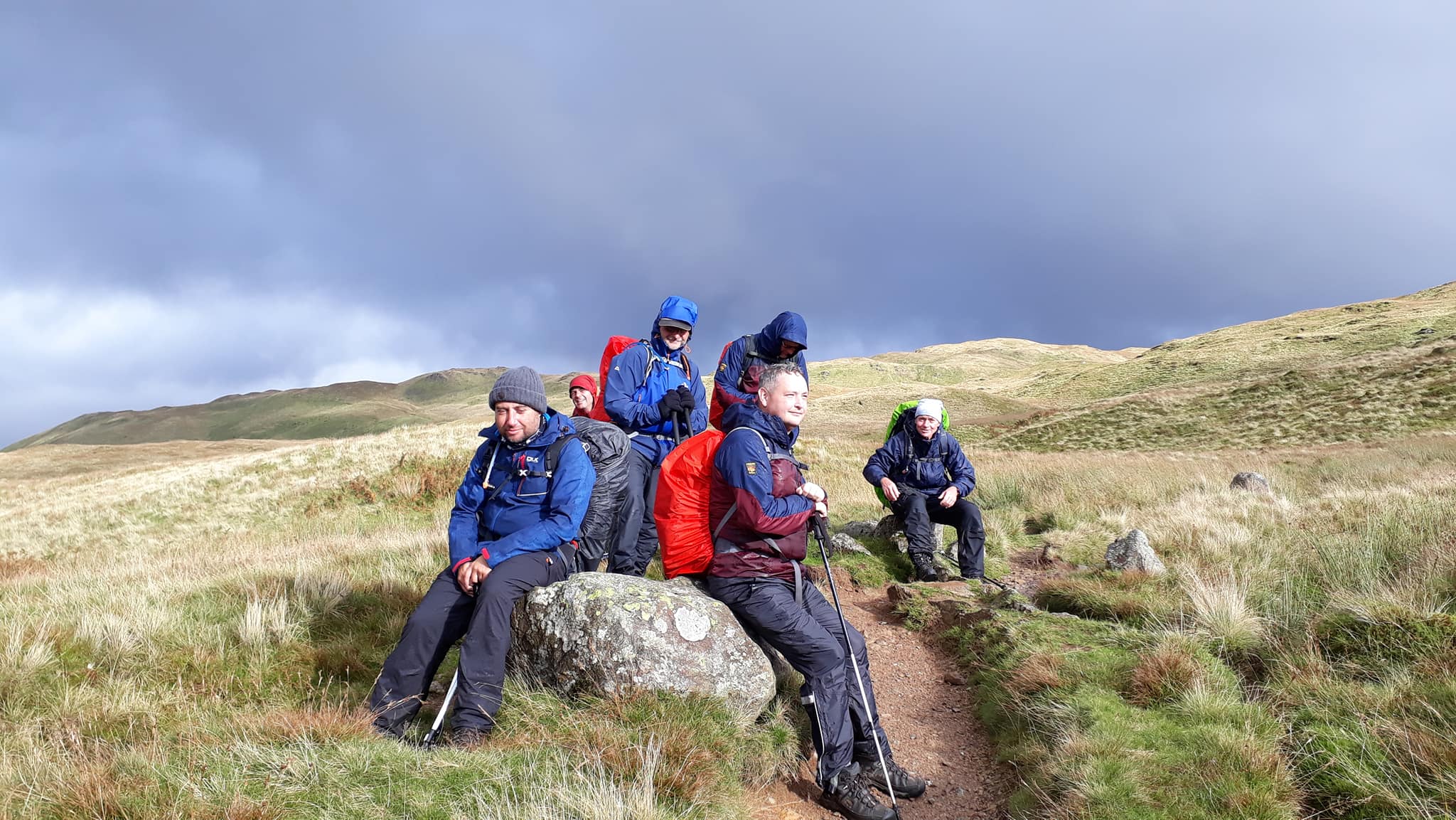
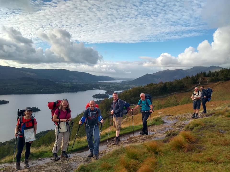
It was looking a little bit dull and drizzly as we took our first look out of the window. After breakfast it was significantly better, even a couple of patches of blue had appeared. We gathered at 9.30 with full waterproofs ready for our start photo. Surprisingly everyone was ready on time.
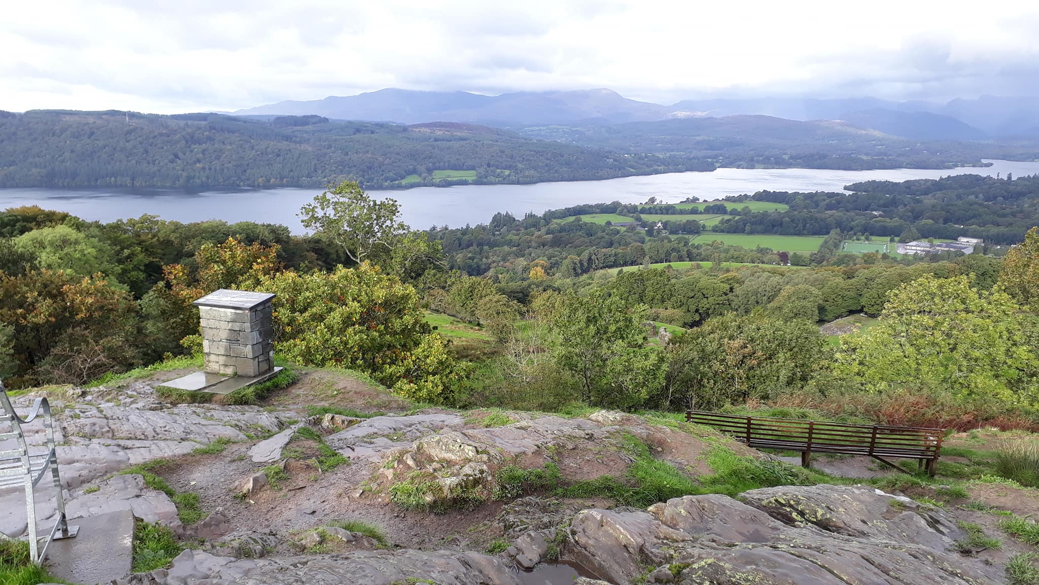
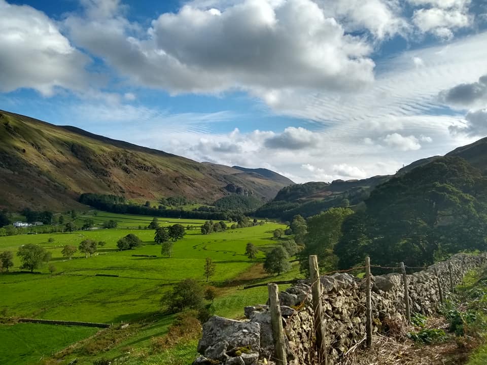
We headed out of Keswick along the Cumbria Way. By the time we reached the northern end of Derwent Water we were stripping off the waterproofs one by one. It was easy going, good weather and everyone was enjoying it. As we across the Newlands Valley we got our glimpse of our first peak to climb. Pete was filled with trepidation.
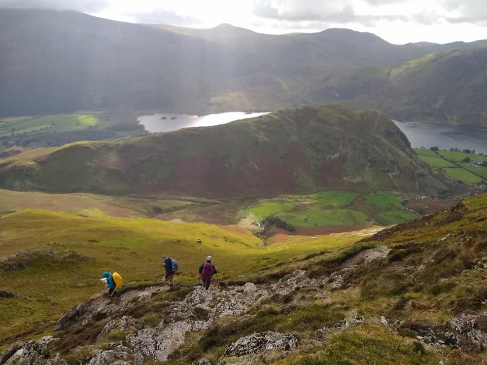
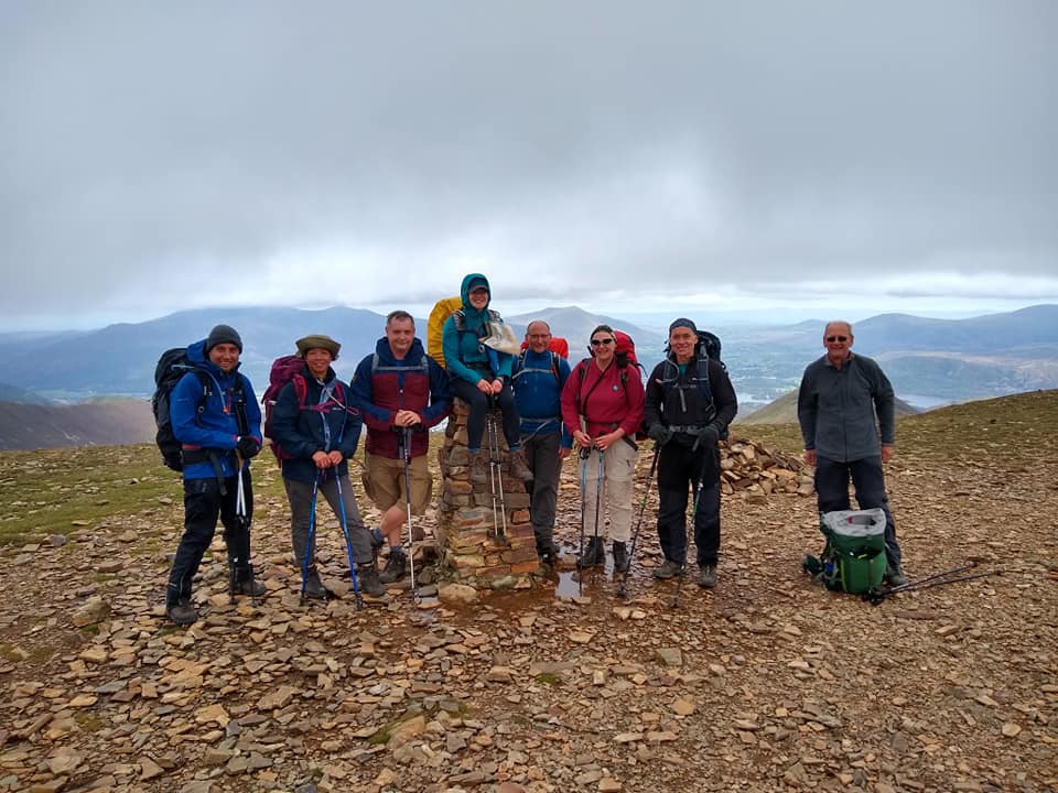
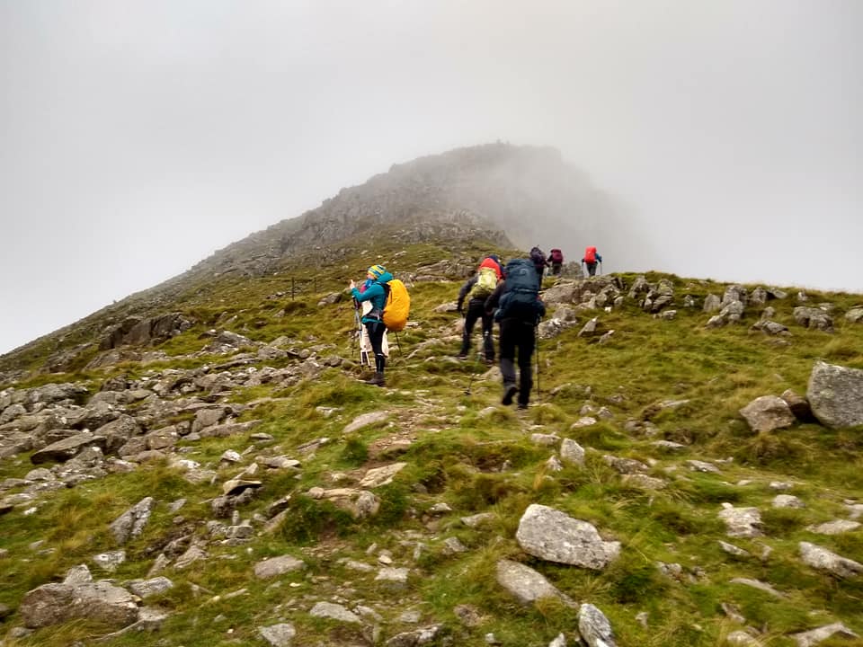
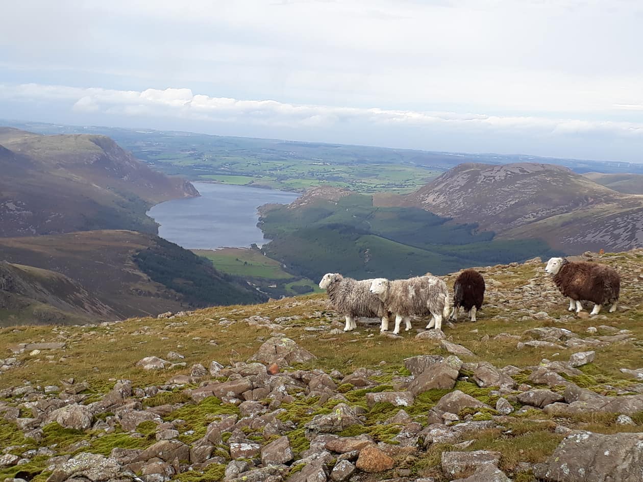
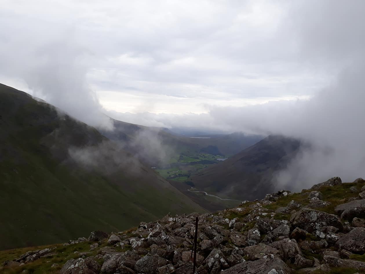
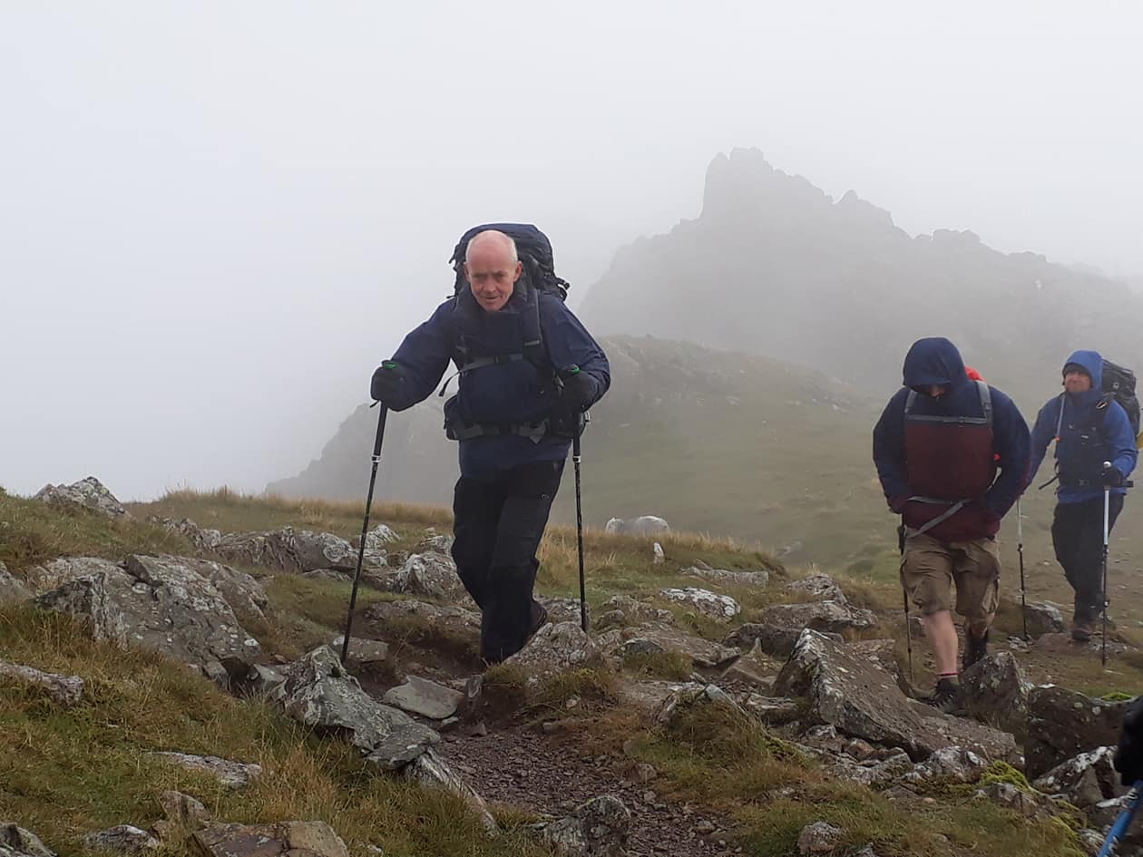
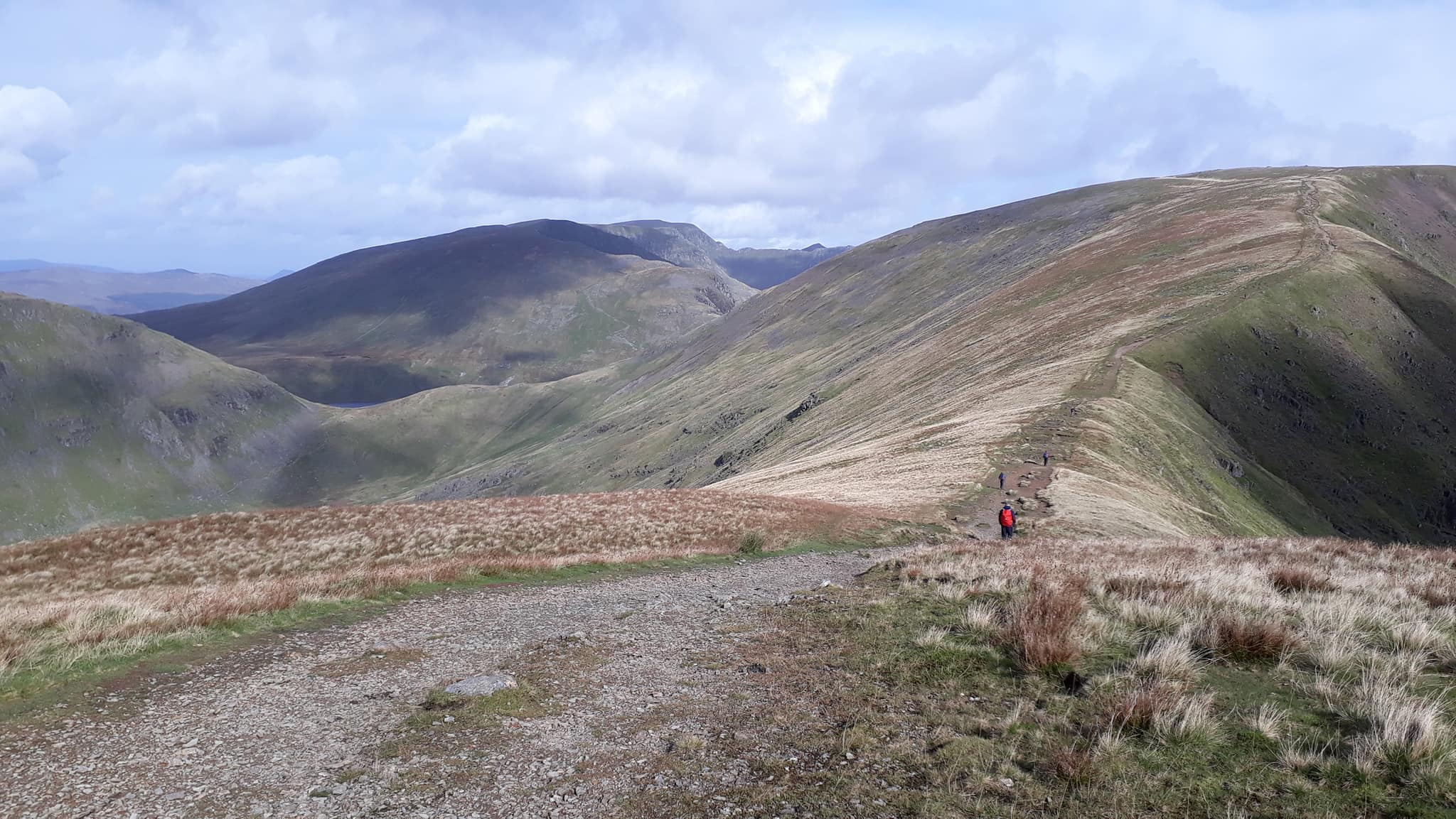
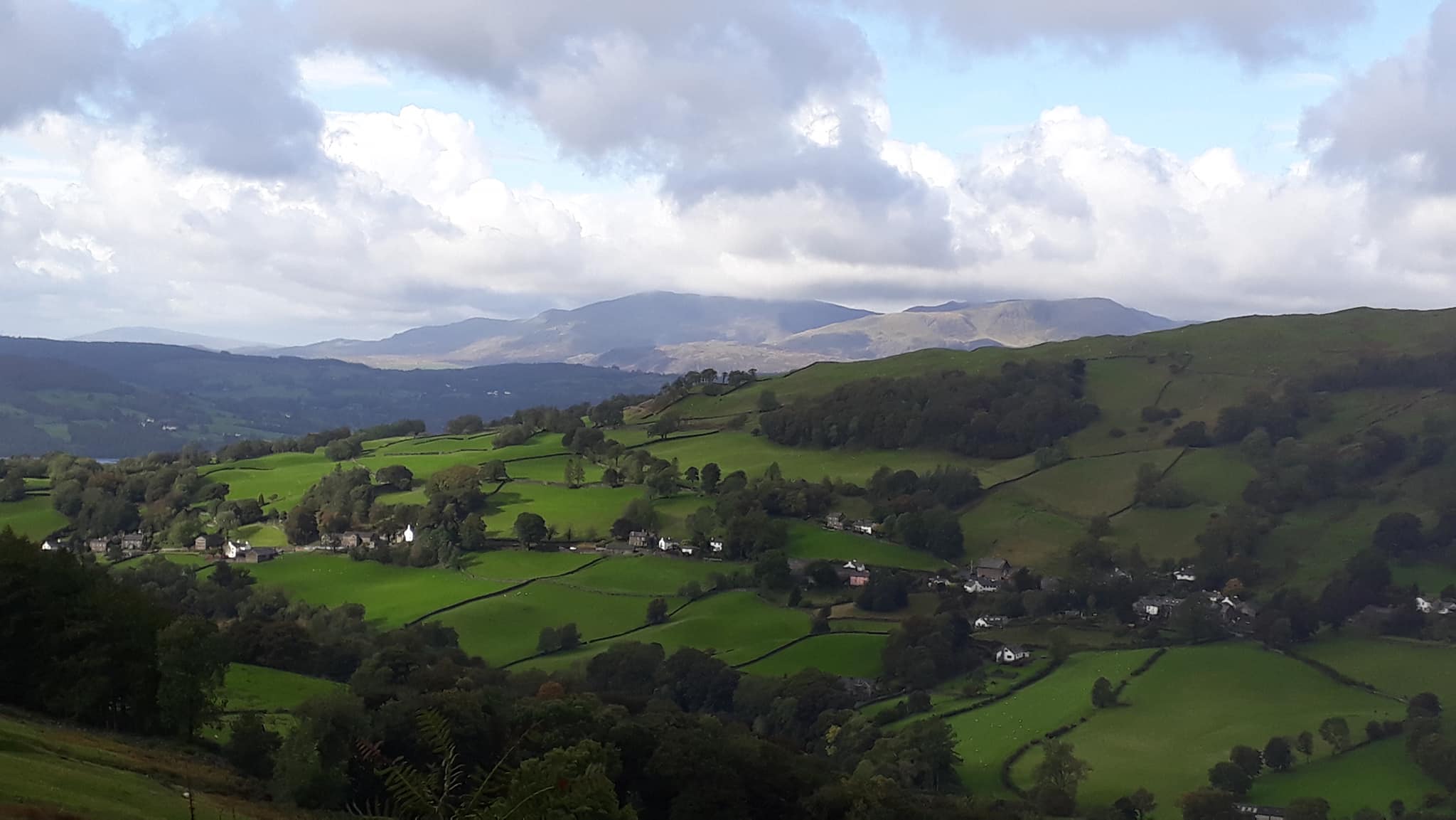
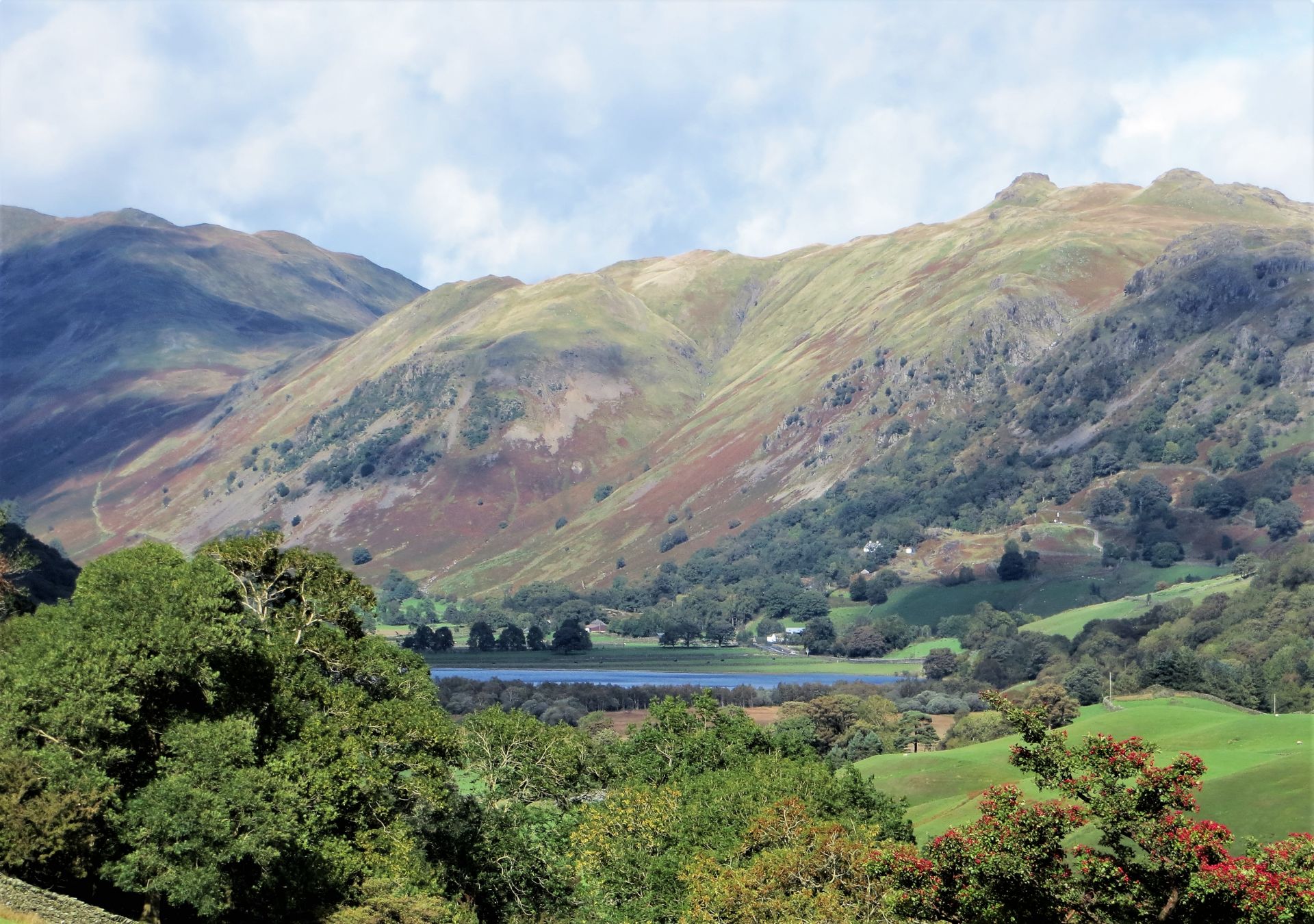
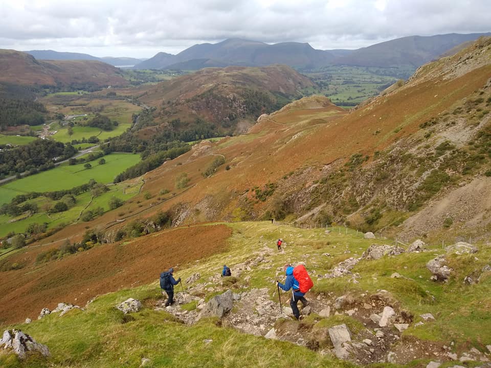
It was a relentlessly steep climb up Rowling End but great views over the Newlands Valley and over to Skiddaw and Derwent Water. And then onto Causey Pike (637m). We stopped for lunch early on the ridge above Scar Crags as some people were getting tired and hungry. As we reached the col before climbing up to Sail (773m) Kearton and Maria decided to take the lower route straight to Buttermere. The rest of us headed on and up to Sail and Crag Hill (839m).
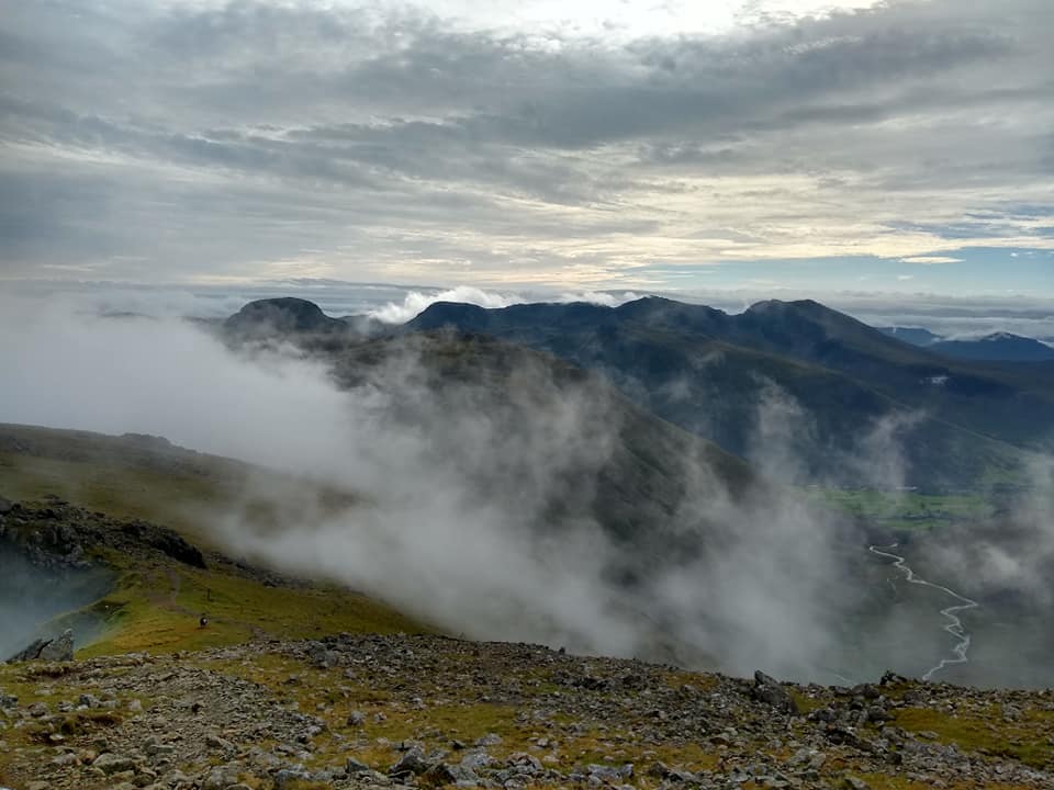
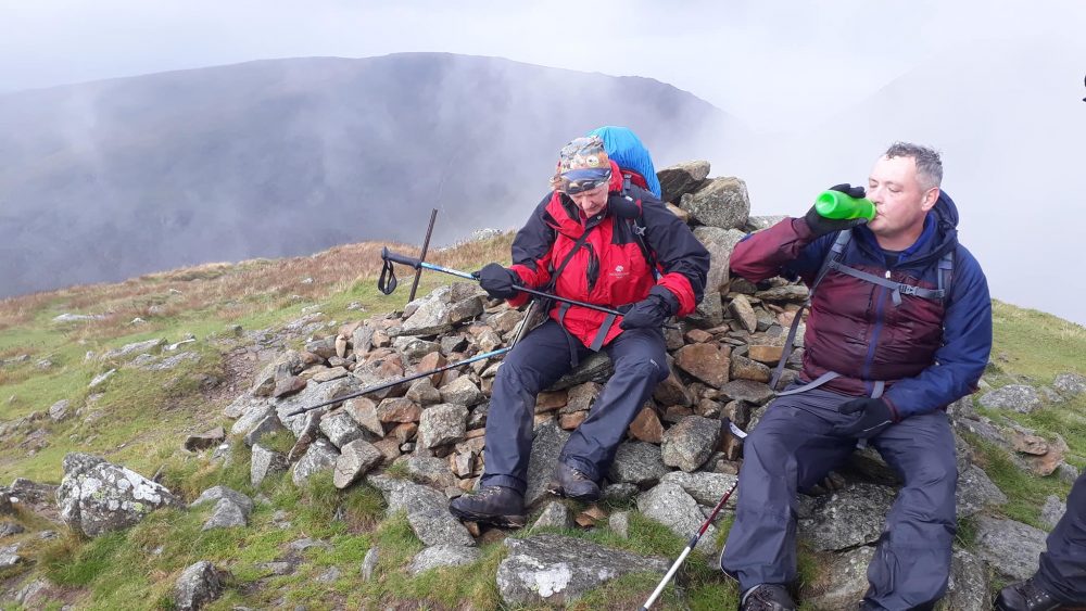
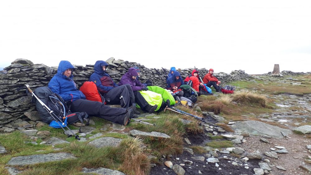
Highest point done, and it was downhill along Whiteless Edge to Whiteless Pike (660m). We enjoyed some lovely views as we headed down towards Buttermere. It was a tough descent, there were a few tumbles. At Buttermere village we met up with Kearton and Maria and took a short break at one of the tea rooms. We couldn’t linger as we still had at least 3 miles to go and it was now 5pm.
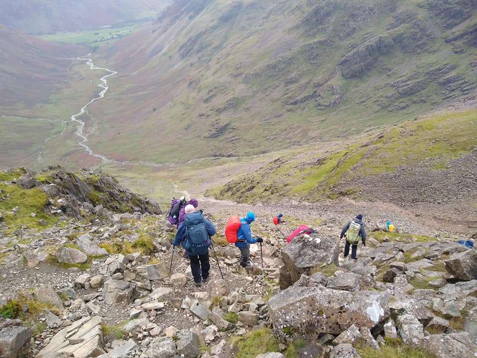
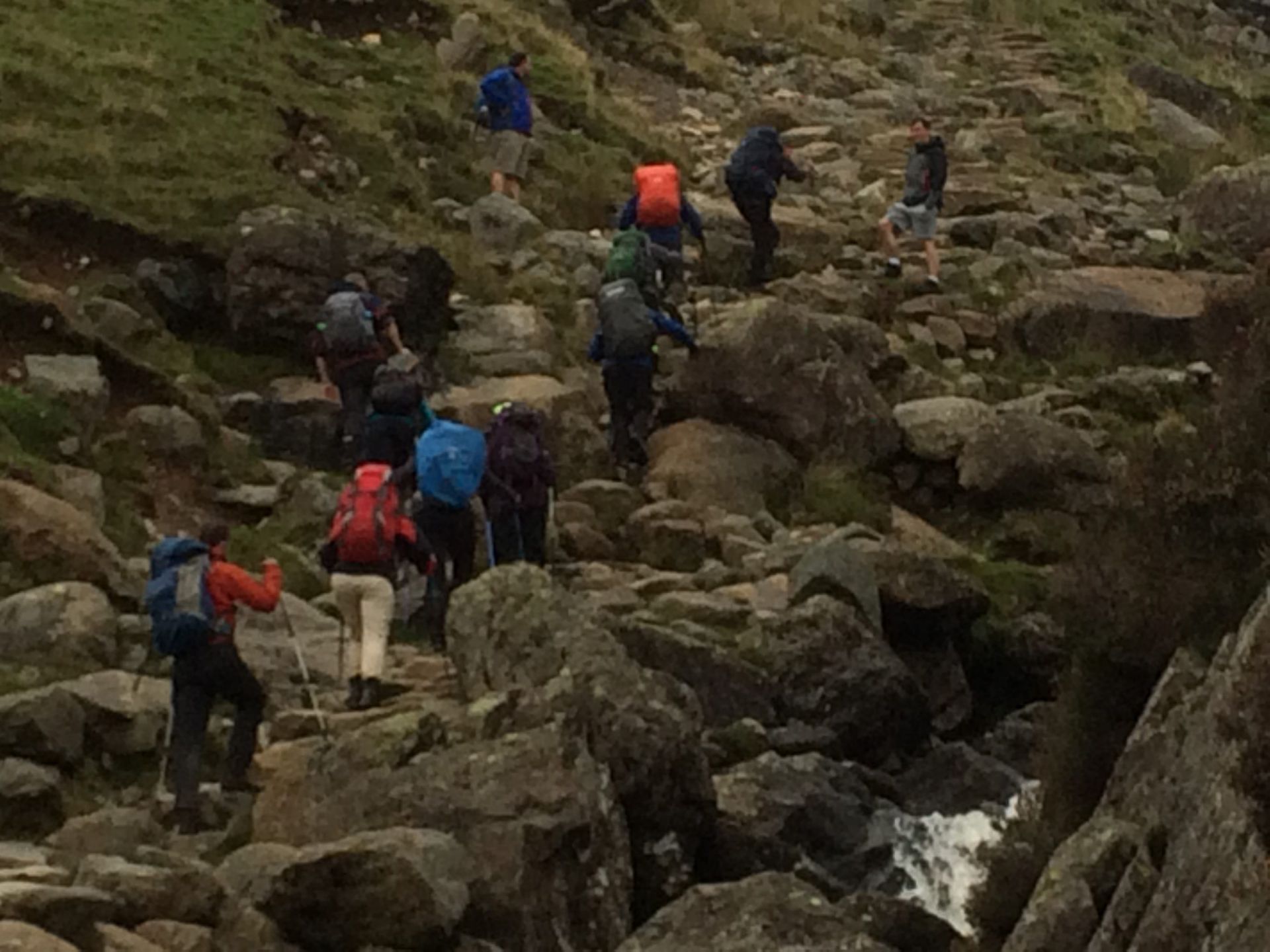
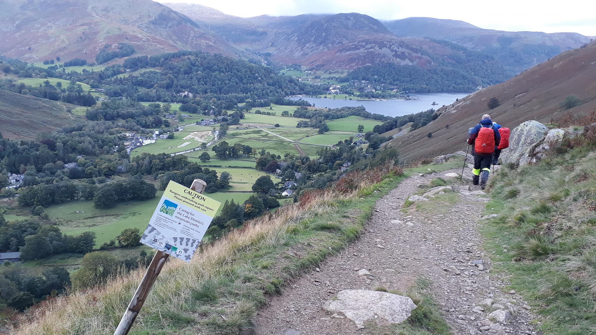
The route took us along the southern edge of Buttermere through Burtness Wood. We had a nice flat walk along the edge of Buttermere with great views of the surrounding peaks. At the end of the lake we began our final climb of the day up Scarth Gap Pass. This was a tough ascent mainly due to its being the last of the day. People were tired, but we followed the path and the water up the rocky trail. The climb towards the top is in the process of being improved by the volunteers of the worthy charity Fix the Fells and it was pleasing to think that our group’s charity donation last year was funding the real improvements we could see in front of us.
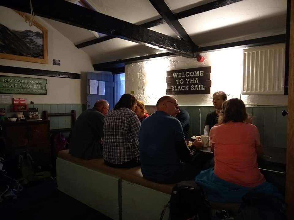
Once we began to reach the summit of the path, one by one, we all took stock and began the weary descent to our hostel for the night, the legendary and hard to book Black Sail, where we were welcomed in by the delightfully cheery hosts, Chloe and Mike for an eagerly anticipated hot meal.
Day 2 – Black Sail YHA to Boot Bunkhouse – 14 miles
Report and pics mostly Torben.
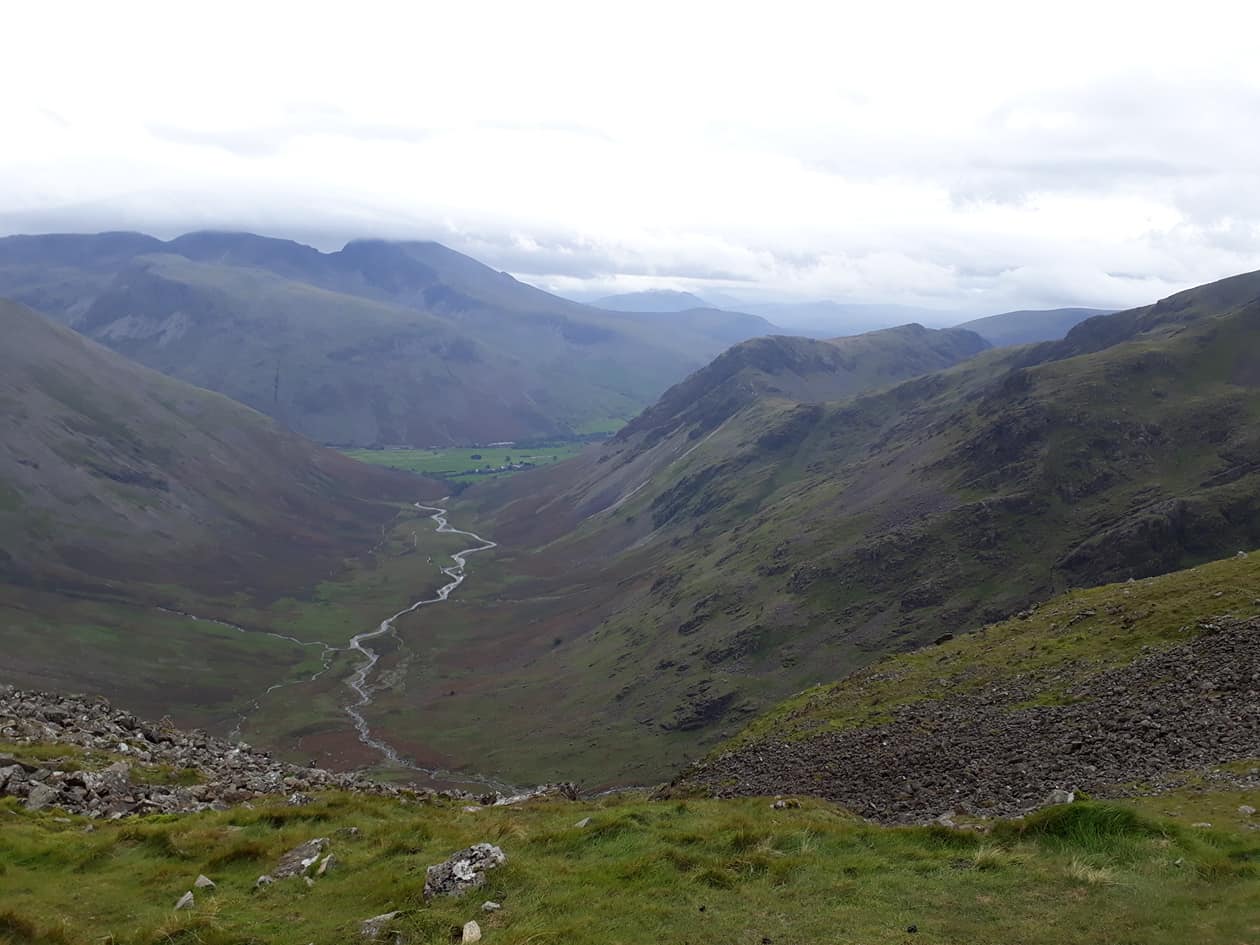
The route left Ennnerdale Valley via Black Sail Pass, turning right at the top and continuing along the ridge and up to reach the summit of Pillar (892m). On a good day there are great views down Ennerdale Valley and beyond.
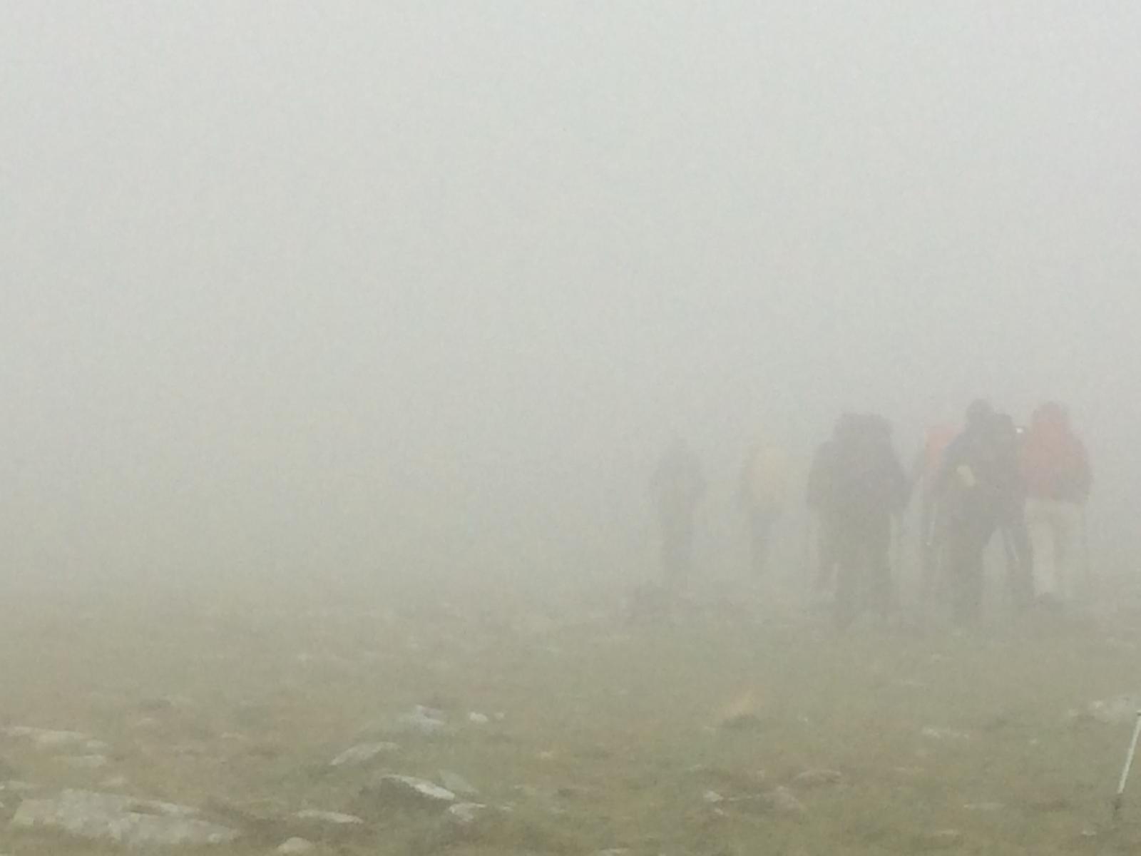
The novelty of starting out from the most remote hostel in England was slightly tempered by the practical implications of the name Black Sail. Sail comes from the Norse word for bog and we were well and truly in it!
Having yet to find their mountain legs, Kearton and Maria took a direct route via Black Sail Pass, Wasdale Head and on to Boot. For the rest, the route took us up and over Pillar, skirting Scoat Fell and on to Red Pike before descending behind Yewbarrow towards the moody, lurking depths of Wast Water where the wind was whipping up white horses.
Our soggy, weary band wound our way to the other side of the lake and across the fells past Burnmoor Tarn before descending into Eskdale to find the retro offerings of Boot Bunkhouse with its communal dorms, cold showers and an abundance of large beetles.
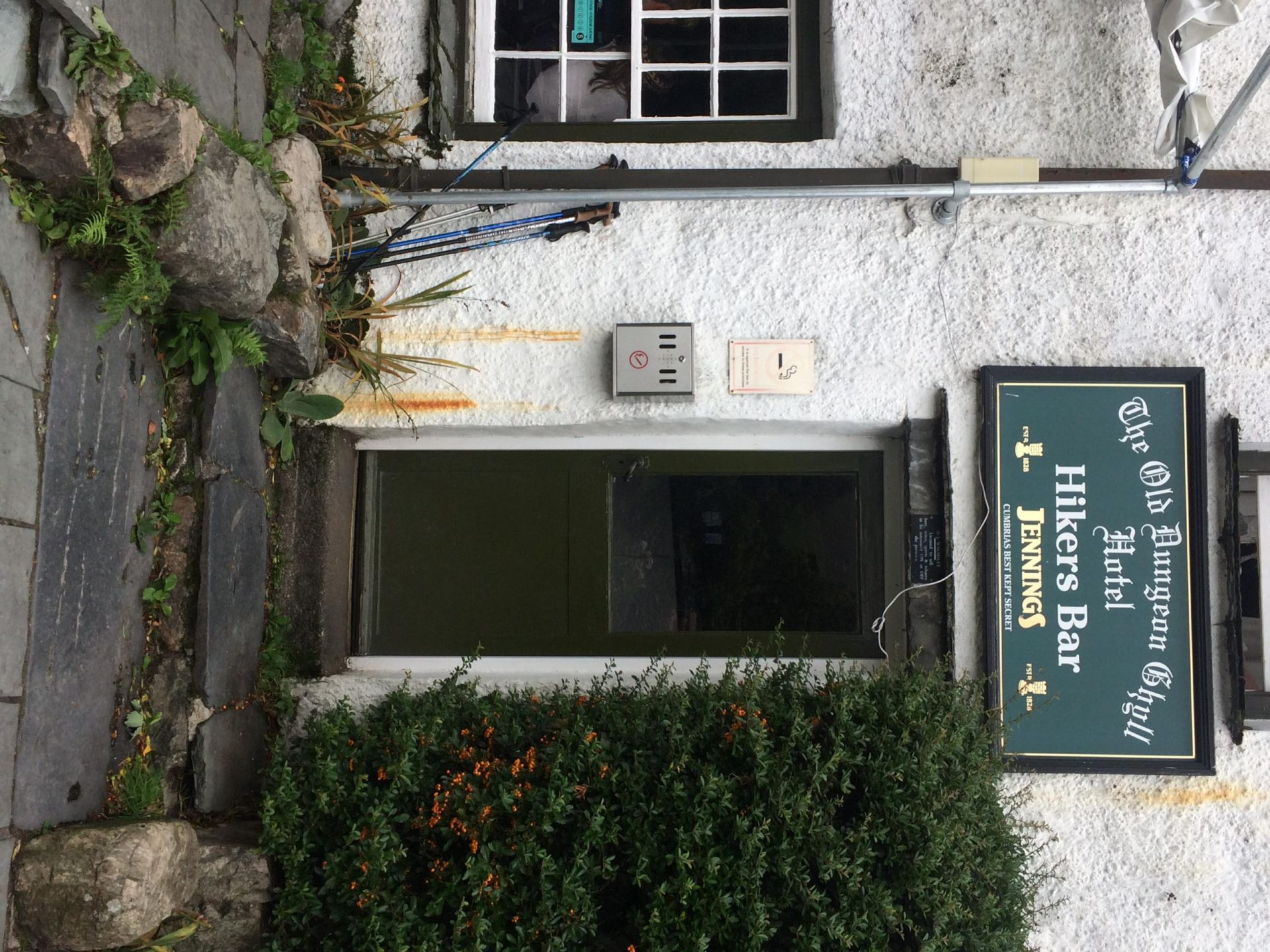
Fortunately the proprietors also own a minibus and the Hardknott Cafe, a mile and a half down the road! A lively evening of good food, local beers and exotic rums ensued, ably assisted by the overworked but ever cheerful Tatiana.
Back there for breakfast in the morning!
Day 3 – Boot Bunkhouse to Coppermines YHA -13.5 miles
Pics Torben & Rachael, text Toby.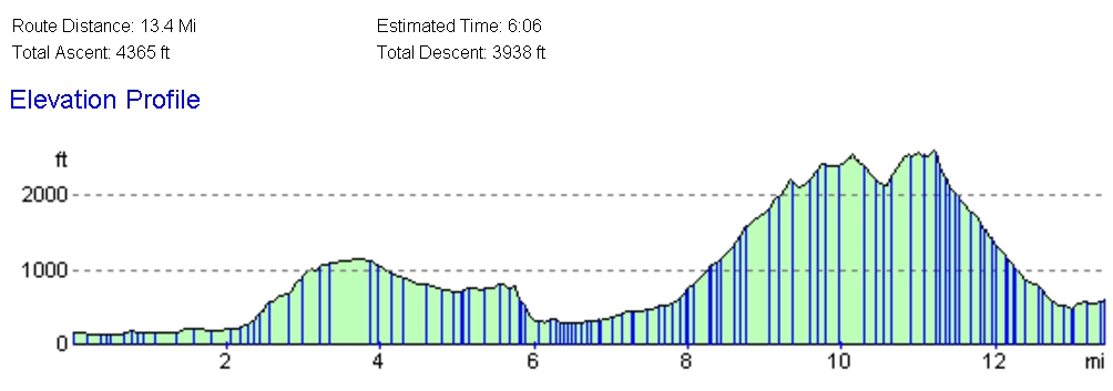

We left our bunk house nice and early (ish), and set of in the drizzle for a short walk along a river back to where we ate the night before. Our long-suffering waitress Tatiana sorted out our breakfasts, lunches, teas and coffees, then we were off and up into the fells.
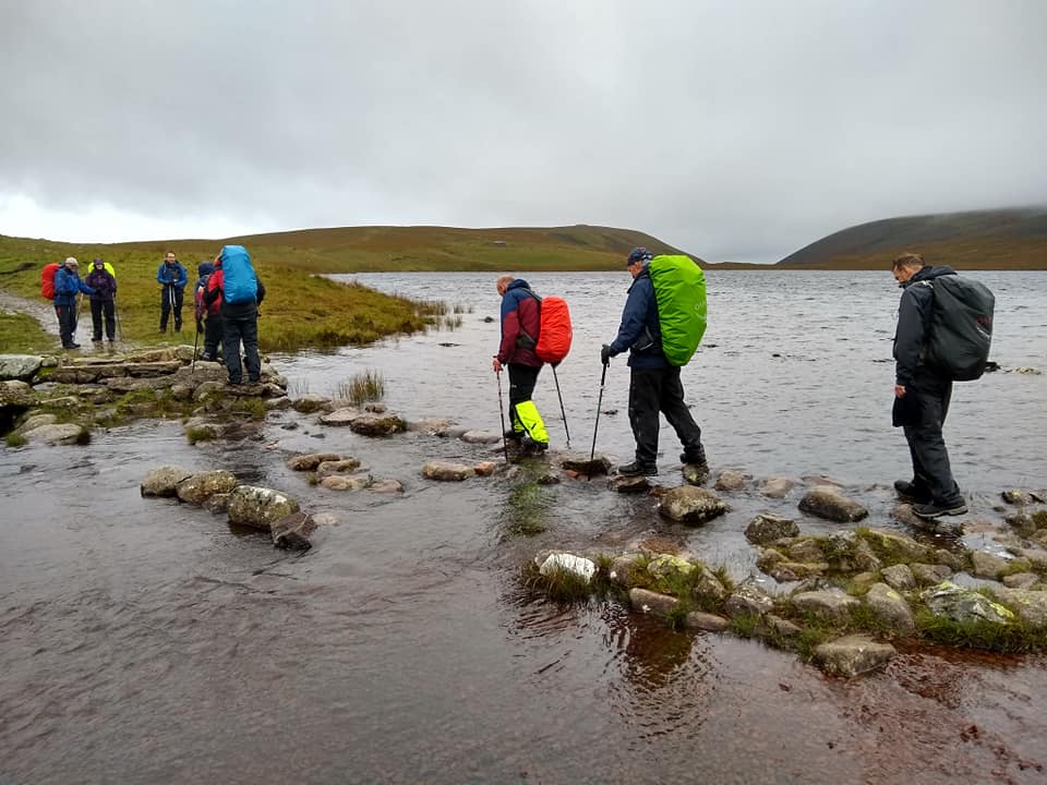
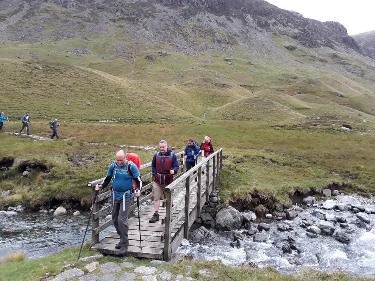
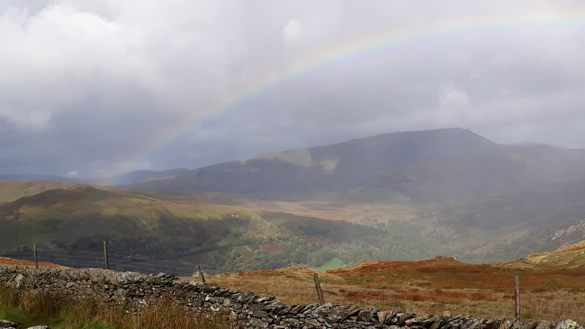
It has been raining on and off for three days now, so there was a lot of water in the streams and underfoot. The ascent involved several dangerous crossings on underwater stepping stones, and at one point we were surrounded by two streams that were running higher than the path! There were a lot of squelchy boots here – definitely a walk where high boots worked better.
Eventually we made it down to the level of Dunnerdale Valley, crossed raging torrents by bridges large and small, and took a brief lunch stop in the pub in Seathwaite. 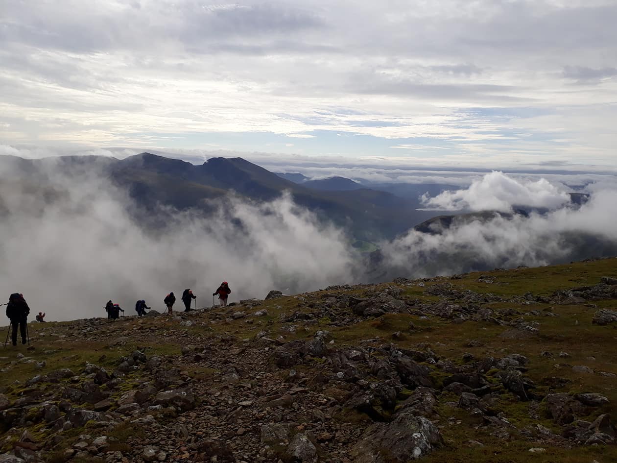
After lunch we headed towards the byway to Coniston. A long straight climb took us to a crossroads where some went straight on, and some tried for the path to the old man of Coniston. Sadly, as we reached the first peak, the wind got so strong that Rachael was knocked over, and many of us struggled to stay upright. We quickly decided to head back down and follow the others.
We took a diverse set of routes to our YHA destination of Coniston Coppermines: high, low and in my case via the village where I sampled some Kendal Mint liqueur. On arrival the chairman and I decided to test the team’s responses to the fire alarm, and everyone scattered. Much like our standard response to an approaching car.
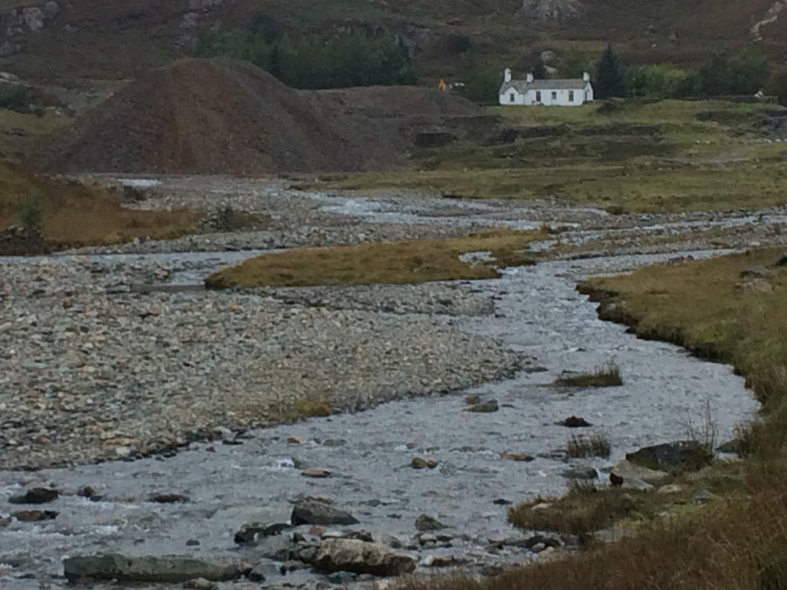
Tomorrow we are off to Ambleside!
Day 4. Coppermines to Grasmere Thorney How Hostel – 13.5miles
Pics torben etc., text wainright.

First point. Writing this report was forced on me as punishment for taking the only beer in the hostel without offering it to Rachael.
Second point. Rachael cut off the peaks in consideration of hurricane Helene and after intense lobbying from the weakling in the group.
To keep it brief I’ll stick to the main points.
Started at Coppermines hostel near Coniston.
Finished at bunkhouse in Grasmere.
First incident. There are a lot of sheep in these hills. As a natural consequence there’s much sheep shit so if you’re going to tumble you must be take care to organise your landing. Ian got around this by falling in the breck. He may have floundered on his back with his pack like an upside-down tortoise. But he came up as clean as he went down. Sadly no photos of this incident.
Second notable item. Rachael’s carrot to get us moving was promise of cake or similar from a stand outside a house with a trust box. She’d seen such a thing sometime before so assumed it was still around. It wasn’t. Gutted, Heather knocked on a random door and asked if it was a tea shop. “No but I can put the kettle on.” A wonderful hour was spent drinking tea in the warm.
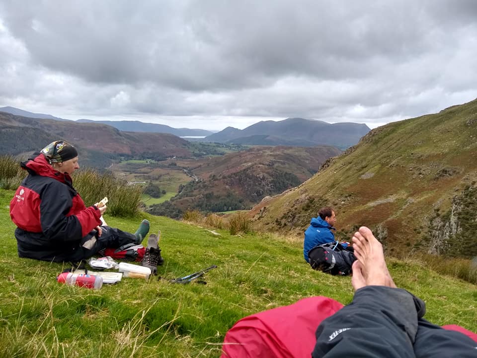
Third item of note. Idyllic spot for lunch. The sun appeared for a relaxing hour. You can see Toby and Torben enjoying Pooh Sticks.
Next item to note. Hurricane Helene hit hard on the way back down to the valley and we had to crouch in a gully to avoid a more rapid descent. We made it to the wood where we accelerated apace when we heard branches and trunks crack. Interesting that those most struggling on the walk were the first through the gate. These two cool (stupid) dudes couldn’t be bothered.
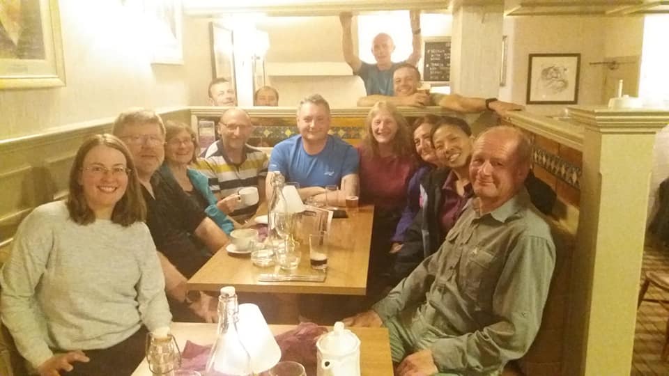
Next. Pub at Langdale. You all know how we would have enjoyed that. There was a power cut but pumps and till on emergency supply. And not enough light for photo so here is something for the record.
Thereafter the walk became difficult. Steep climbs and descents and fast flowing rivers to cross.
Until near the end.
Four days done. Three to go.
Day 5. Grasmere to Windermere Backpackers – 15 miles
Pics various, text contributed by Paul.
Leaving Grasmere, we met Heather’s partner, Damon, who joined us for much of the day. Commencing with a steep climb up Great Rig (766m), we made our way to Fairfield, the day’s highest point at 873m, where we took refuge from the cold wind.
After a brief respite, we found the wind had gathered pace and the temperature had dropped accordingly. Wrapping up, we followed the horseshoe over Hart Crag (822m) and Dove Crag (792m).
The lunch stop afforded us views of Ambleside, and the long descent was rewarded with a welcome visit to Daisy’s Tea Rooms. Cream teas abounded for the ensuing 30 minutes!
The route to Windermere through Skelghyll Wood and along various tracks and paths was wet but simple and a roaring log fire awaited the happy band at Lamplighters restaurant – a great end to a great day.
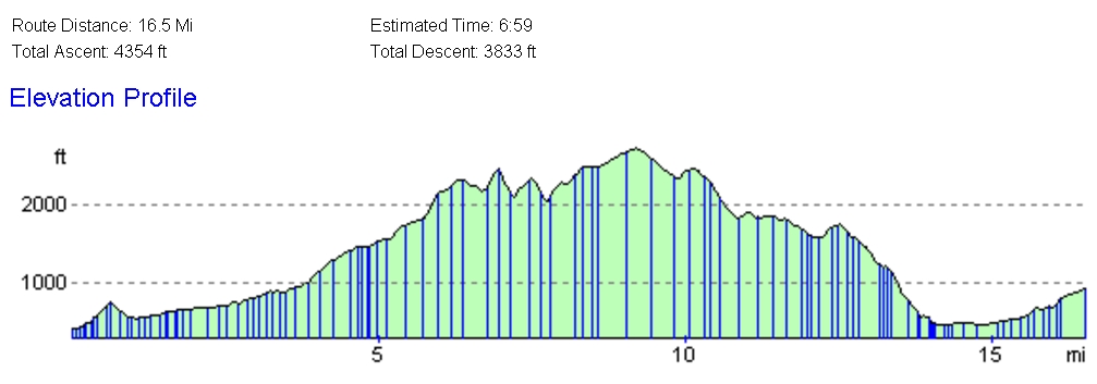
Day 6. Windermere to Helvellyn YHA – 16.5 miles
Walk 1: The Hard Road
Pics contributed by Rachael; text based on her original route outline.
The route heads out of Windermere up and over the small knoll of Orrest Head which gives great views back across Windermere to the central fells.
There’s a gradual .constant climb upwards along Dubbs Road track and then Garburn Road track.

At the top (447m) the route turns northwards towards the summit of Yoke (706m) and on to Ill Bell (757m) then over the summit of Frostwick (720m).
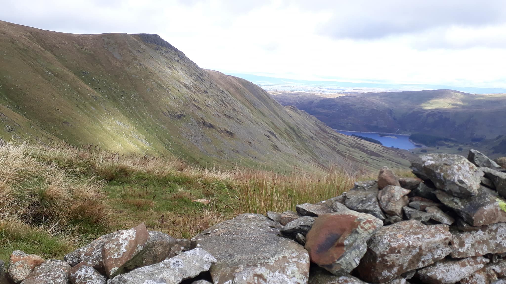
The route continues north along the ridge on the High Street Roman Road to reach the summit High Street (828m). On a good day here you can see Haweswater and Kidsty Pike over to the east.
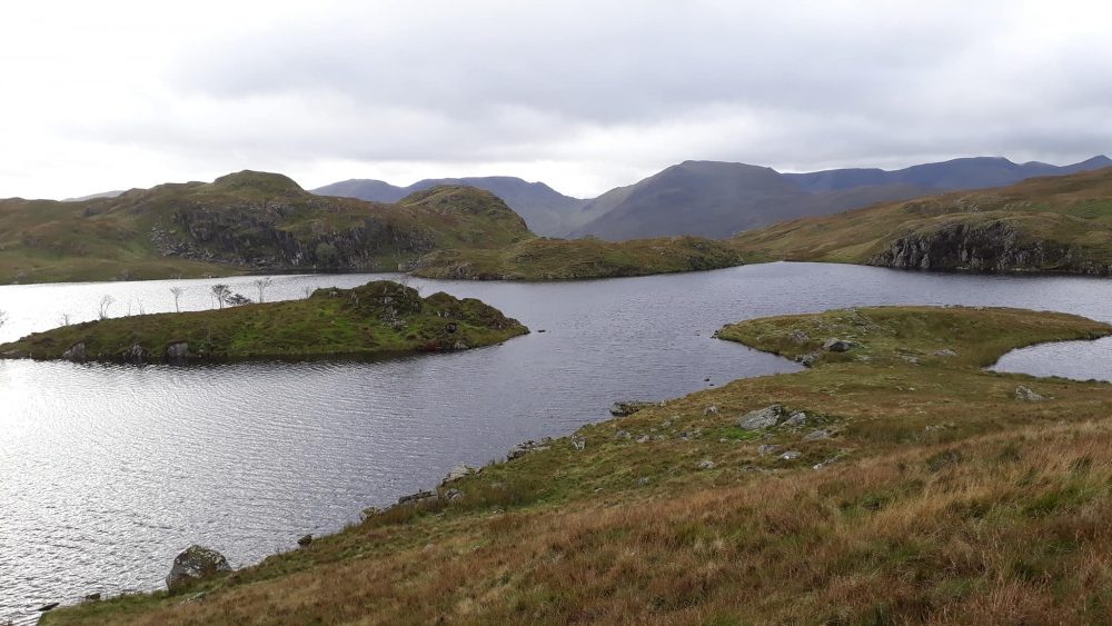
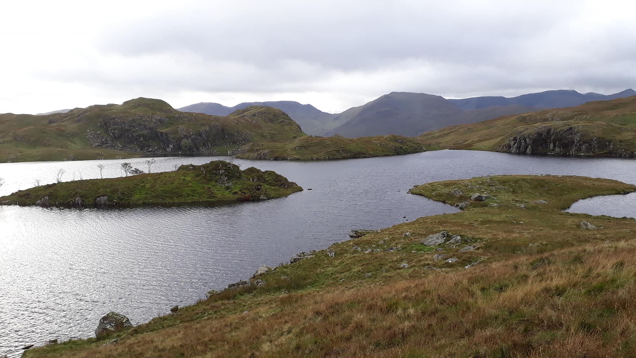
The route continues on down the ridge, past The Knott and Rest Dodd to Angle Tarn.
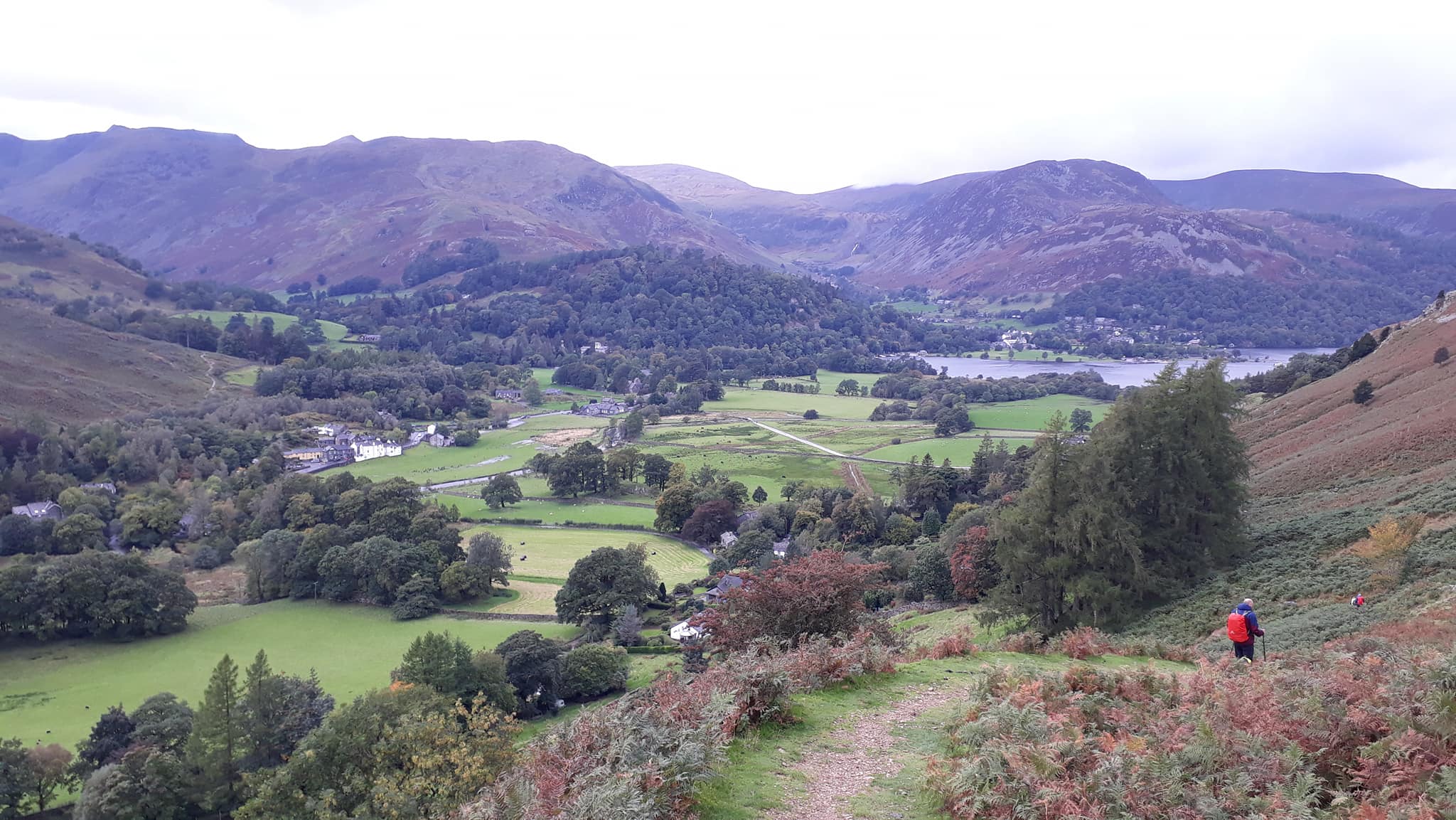
It is a gradual descent down towards Patterdale with views of Ullswater.
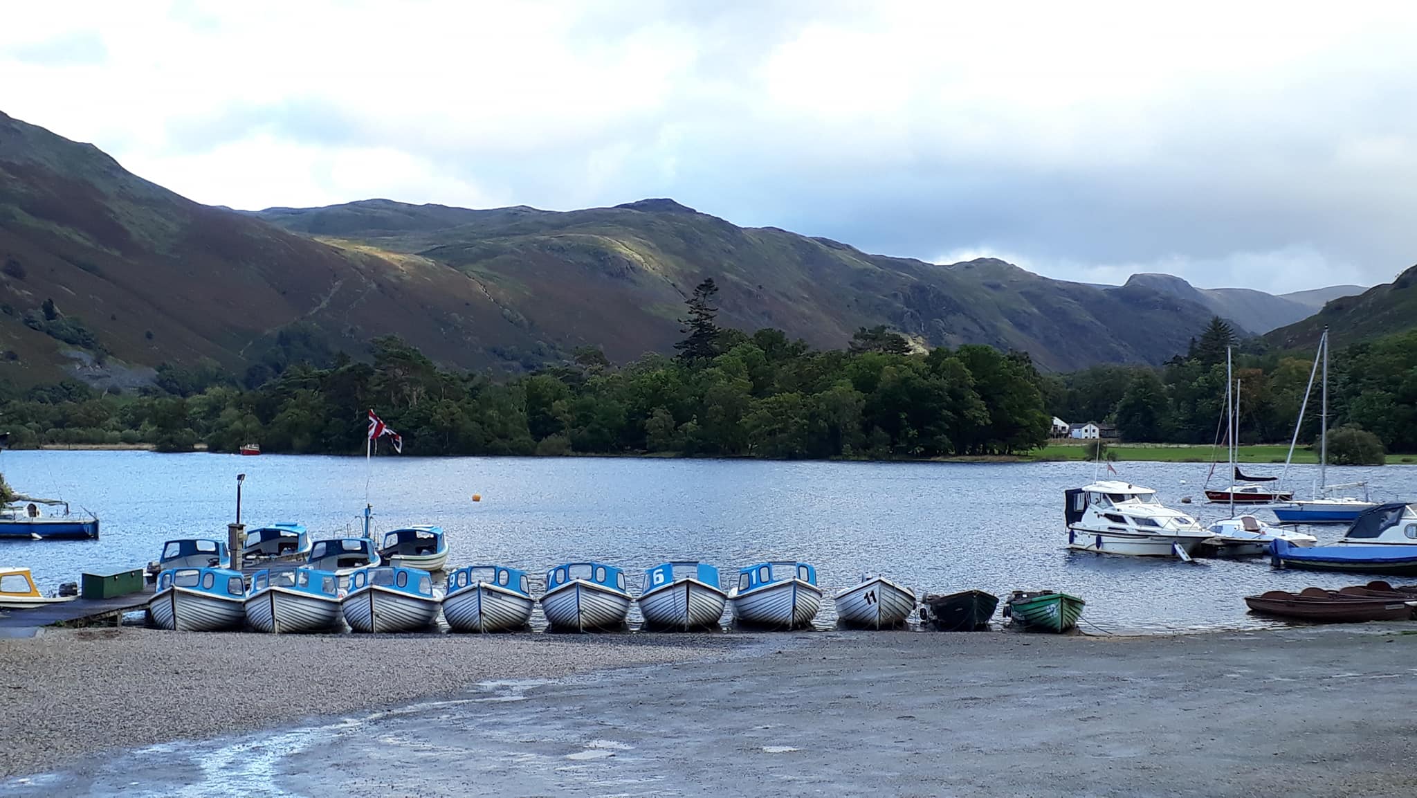
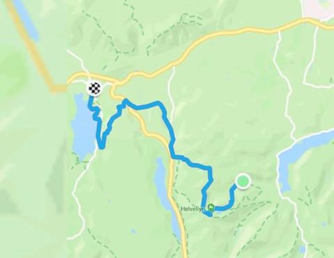
The route then follows the road around to Glenridding before continuing up the Glenridding valley to the Helvellyn hostel.
Walk 2: The Thinking Person’s Way 😉
This is just in case you think that these trips away are ALWAYS gruesome, wet, painful, beyond exhausting (you get which category I fall into). There are mostly alternatives and what follows – titled The Lightweight’s Report by its intrepid, anonymous author – provides an insight and guide. (Ed.)
Text by LW. Pictures by the Film Crew.
SW: We need a newsletter report from you lightweights for Friday and Saturday.
LW: Lightweights? Absolutely not! We’re serious walkers.
SW: Bollocks!
LW: We’re not inspired by the same challenge, that’s all. Perhaps our routes are less severe, otherwise equally demanding.
SW: More bollocks.
LW: You find a route from A to B, crossing as many contours as practical in a day. You’re spoilt for choice. Then all you do is walk it (and survive, which is instinct). One foot in front of the other. I learnt to do that when I was one. We, on the other hand, seek that elusive way that crosses the minimum number of contours. It’s not easy in this landscape. I prefer to describe us as the fleet and elite. Without us as the vanguard preparing the way you’d have eaten at Fred’s Diner and not enjoyed that superb meal at The Lamplighter. So while you lot whinge under your breath slogging from one wet, slippery, boggy, sheep-doings-covered peak to the next with the same view you saw on day one – the backside and backpack of the person in front – we’re enjoying ourselves in the varied and beautiful jewel that the Lake District is.
SW: Still bollocks. How is this demanding?
LW: Sheltering from a downpour.
SW: And this?
LW: Flattest and most sensible route from Windermere to Ambleside without crossing a single contour while you lot were hauling your gear up Badgers Bonk, or wherever, in rain and misery.
SW: Whatever. Just give me the route and I’ll write it up.
LW: OK. Friday – Windermere to Helvellyn. A pleasant stroll past the Windermere villas to the pier at Bowness. We took the steamer Teal for a 30-minute cruise to the Ambleside Waterhead pier (brilliant idea – thanks Rachael).
LW: Re-supplied in Ambleside.
LW: The difficult bit was a long slow climb into Scandale Bottom and a slippery descent to Brothers Water.
LW: We picked up your route at Rooking where you followed about two hours later.
LW: It was a cold and wet walk but at a pleasant pace and a delight with the terrain and scenery changing frequently. We admired the fells to the east where you would have spent your day.
LW: At this point we wondered about re-joining your lot for the final day tomorrow. But after pondering on your colder, wetter, windier, dismal trek today along the higher ridges we decided against it. Nevertheless we admire your fortitude.
Day 7. Helvellyn YHA to Keswick YHA – 16.5miles
Walk 1: The Hard Road
The route leaves the hostel and heads up the Glenridding Valley following the beck up to Red Tarn.
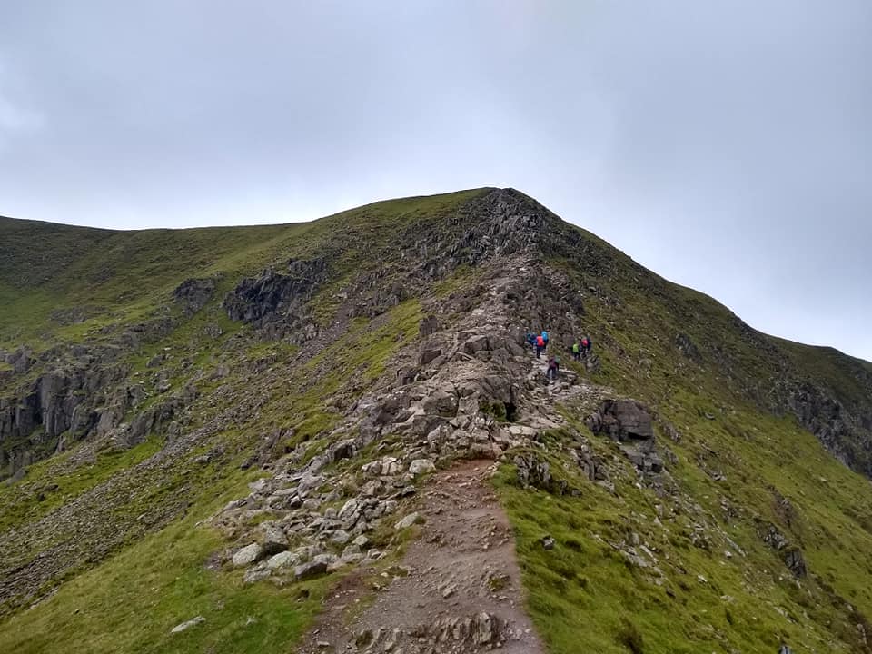
From there it follows Swirral Edge up to the summit of Helvellyn (949m) the highest point of the whole walk.
It then then turns northwards and follows the ridge over Lower Man (925m), Whiteside (863m) and Raise (883m). At Sticks Pass it turns west and heads down towards the northern tip of Thirlmere reservoir. The route then follows along St Johns Beck around the edge of High Rigg and across the valley to Castlerigg.
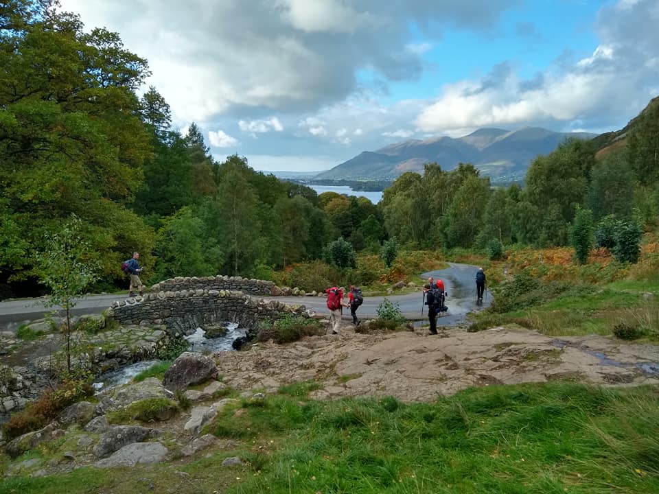
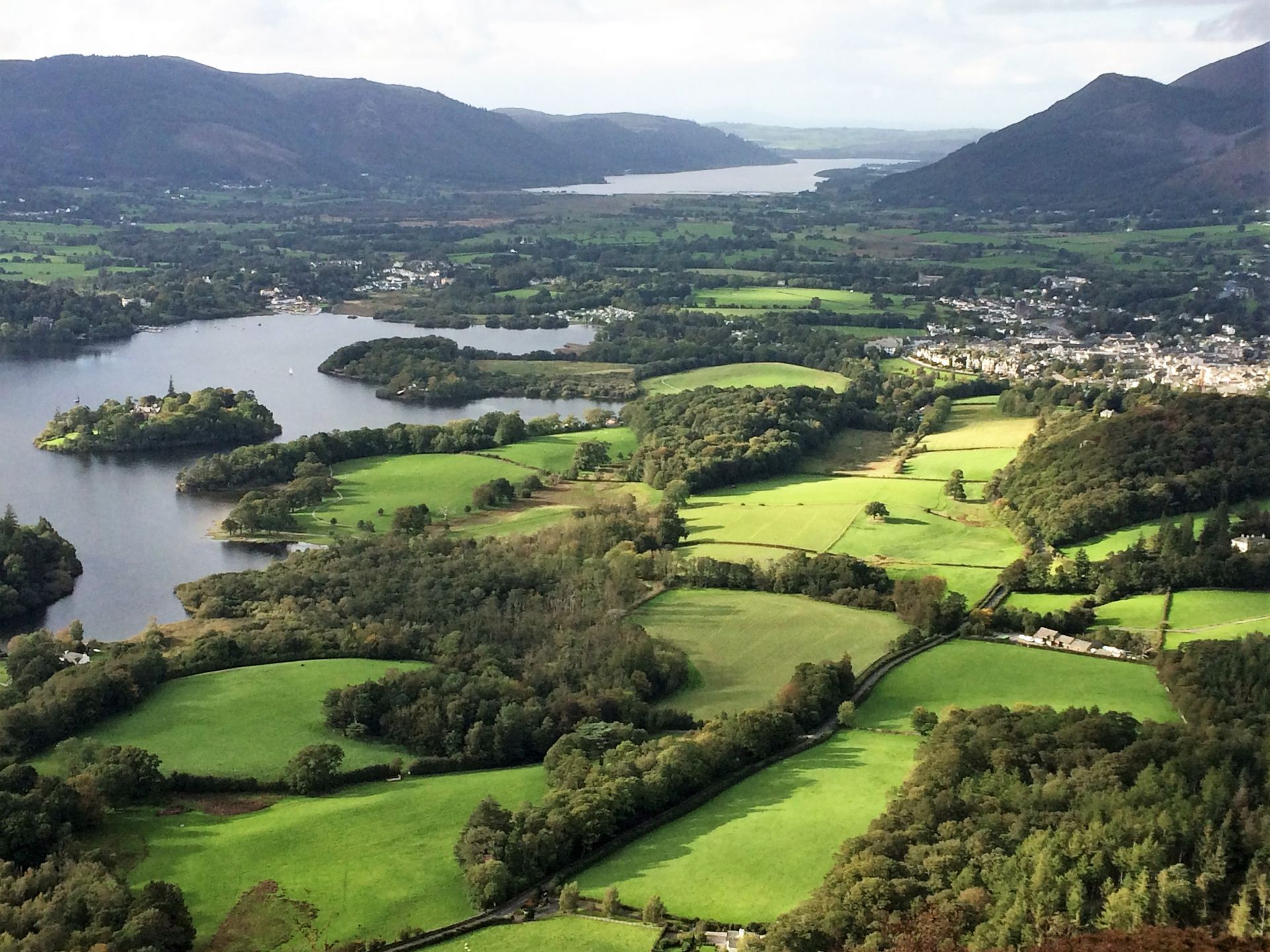
It then contours around the base of Bleaberry Fell above Great Wood with great views down over Derwent Water to the fells beyond. The path joins the road at the famous Ashness Bridge.
The final stretch of the route drops down to Derwent Water and follows the lakeside path back into Keswick.
Walk 2: The Thinking Person’s Way 😉
Text by LW. Pictures by the Film Crew.
LW: No waterproofs today. Once you lot were off and out the way we trotted back to Ullswater and followed a lakeside path to find a cycle track along the base of Threlkeld Knotts to where we picked up your route between the High and Low Riggs. Some tricky bits though; not getting lost for example. And fast flowing rivers to ford.
SW: Kearton said there was a bridge.
LW: Yes he chose the easy option.
SW: ?
LW: OK we all chose the easy option but we had a plan B.
Did you see this happy pony? Not exactly sure what he was doing against the stone wall but he definitely had a smile.
LW: Joining up with Rachael’s route was a cruel surprise. I hadn’t spotted the concentration of contours. A tough ascent to Lady’s Rake made more difficult because now we’re at tourist level accessible by car. Swarms of them getting in the way. D T-F would have had a field day with his love of such people and armoury of caustic commentary.
Lady’s Rake is an amazing viewpoint for Derwentwater and Keswick.
LW: Then the battle downhill through various named obstacles, Nadgers Buttock and Willy’s Crack or such-like until on the lakeside path where we had a forty-minute wait for you lot – just chilling.
LW: The rest you know. We weren’t expecting the race to the hostel to get showered and dressed in time for dinner (because you were late as usual).
***************
LW: Don’t write this down. I admit it. We took full advantage of all Rachael’s planning and organising, then cheated on the walks. Hers were so tough. The weak and the lame needed a map reader. But I missed the comradeship that arises from shared adversity and more opportunities to be annoying.
