Rachael, hiker extraordinaire, has organised this trip which starts today and is scheduled to run for 19 days. It will be fascinating to follow – much like the Coast to Coast last year – so here’s hoping that the hikers can be persuaded to submit regular reports on their progress. Rachael has left me with maps and descriptions of the planned route, which I will update as they all go along – hopefully adding some front-line material as it comes in.
We can begin with Rachael’s own description, sent out when she was planning the trip. [ed.]

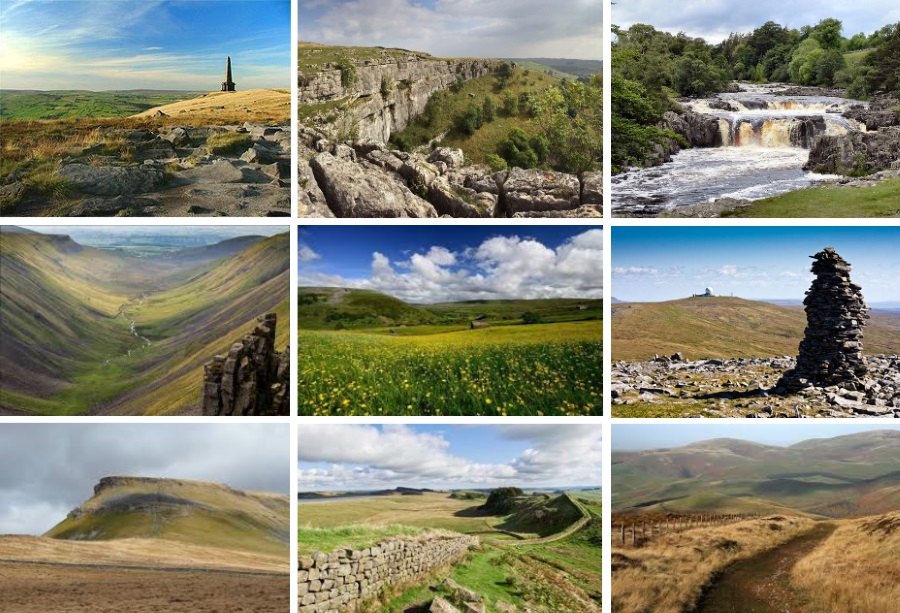
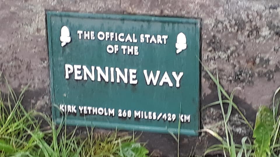
The Pennine Way was the idea of Tom Stephenson, a journalist and rambler, in the 1930s and it finally became Britain’s first National Trail in 1965. It runs 268 miles along the back of the Pennines from Edale in the Peak District northwards through the Yorkshire Dales and the Northumberland National Park and ends at Kirk Yetholm, just inside the Scottish border.
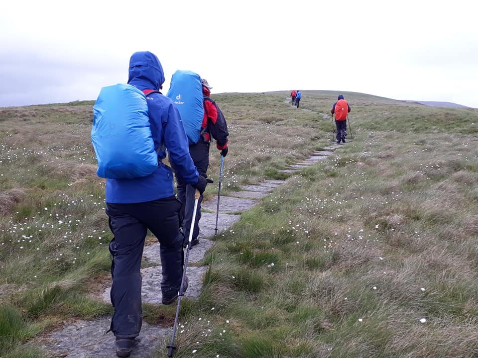
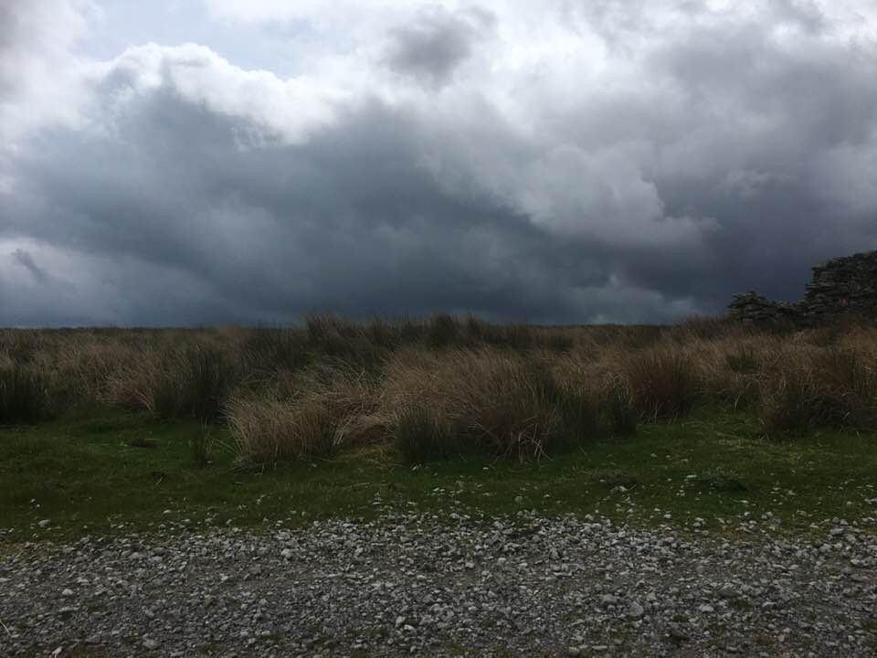
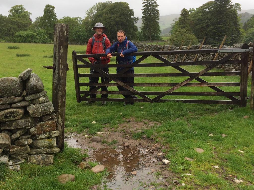
There’s lots of hills, plenty of wild moorland, some long distances and if the weather is not good these places can be quite bleak. There are large areas of peat bog, but all the difficult areas have now been paved with slabs which makes the going across these fairly straight forward. However it’s one walk where it’s best to be well equipped, especially in the waterproof department.
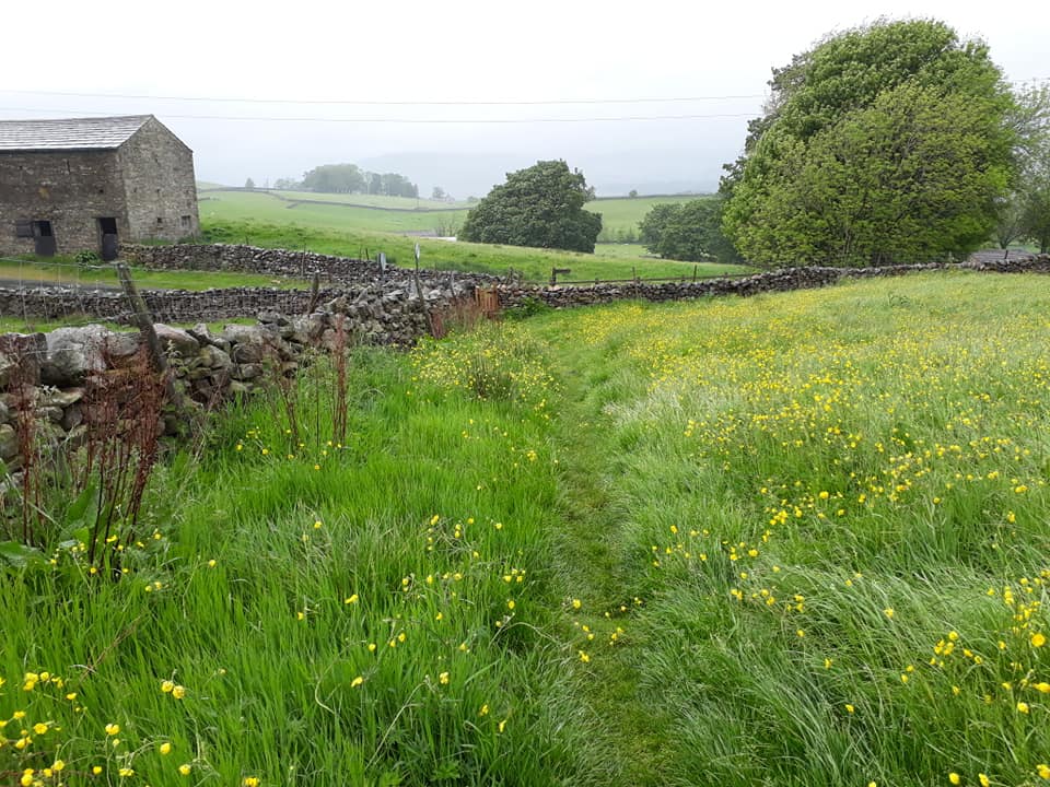
It is not, however, all peat bog; the walk is very varied. There are river valleys, hay meadows, stony tracks, limestone pavements, pretty villages, amazing waterfalls, a Roman wall, grassy hills and plenty of tea rooms and pubs along the route – including the World Famous Tan Hill Inn which is Britain’s highest public house at 1,732 feet (528m) above sea level. The highest part of the path is Cross fell in Cumbria at 890m. The day we cross this will be one of the longest days so it will probably be one of the hardest.
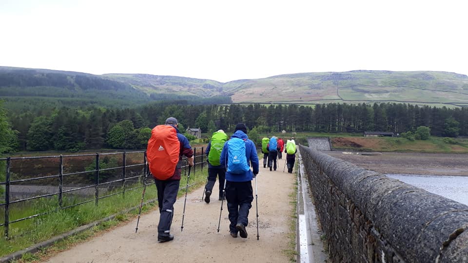
DAY ONE – Sunday 26th May
Edale to Crowden – 17 miles
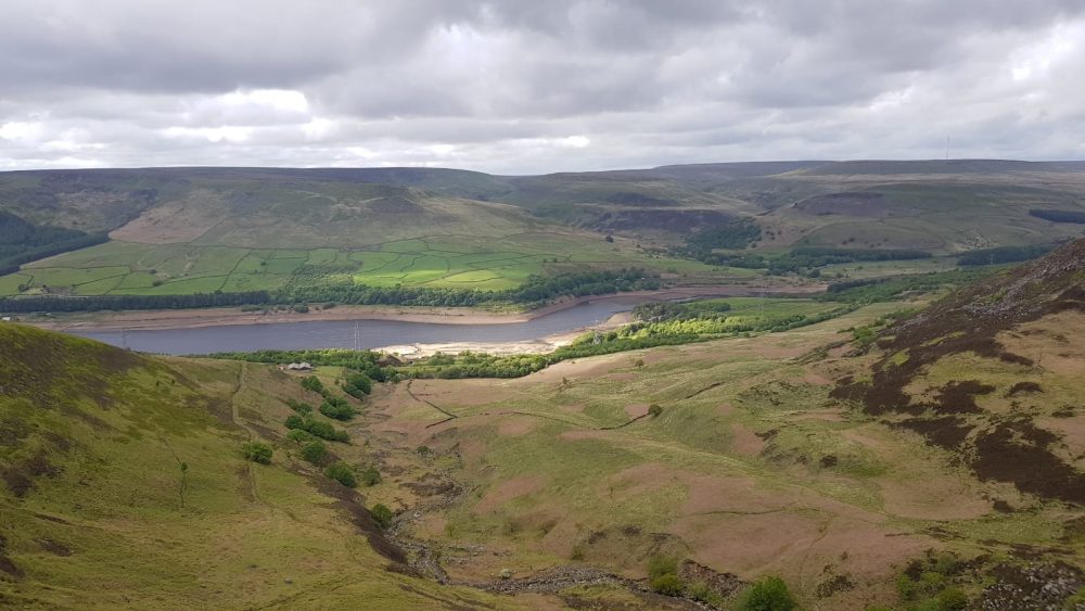
The path heads up onto the Kinder plateau by steps known as Jacob’s Ladder. It then follows the western edge past Kinder Downfall, and onto open moorland. It crosses the Snake Pass road and climbs Bleaklow before descending to Torside Reservoir and Crowden.
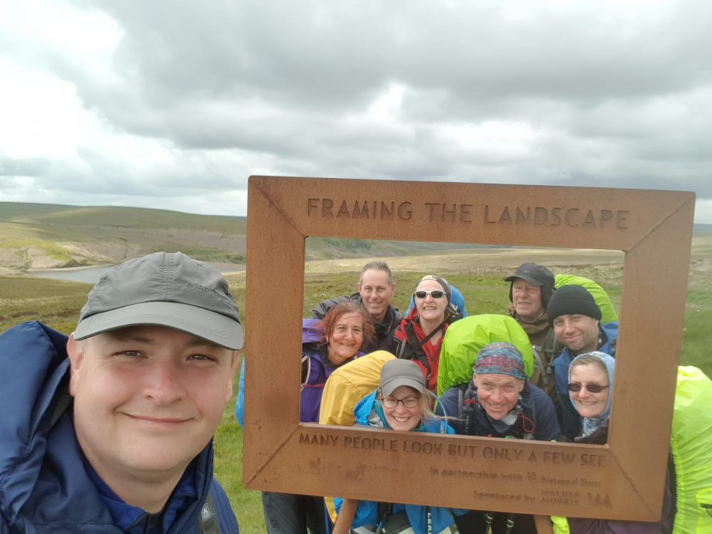
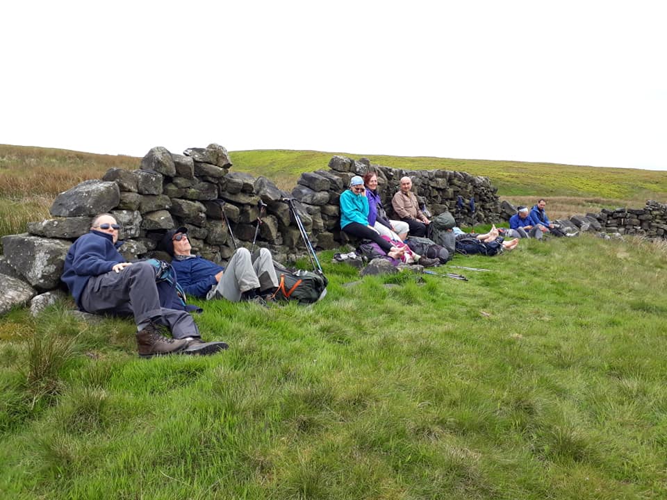
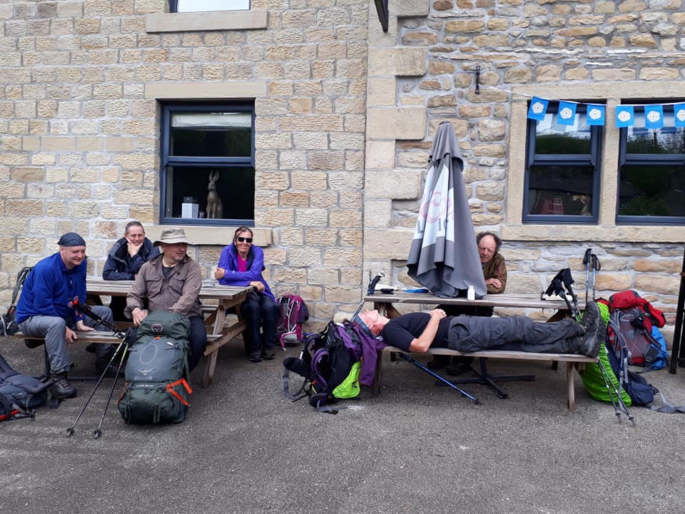
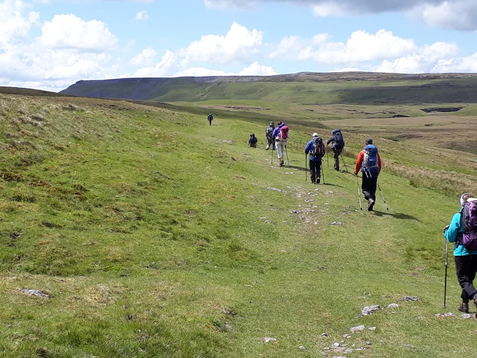
“A few stops make a big difference” (Heather)
Report from Pete E. and Rachael. Some pics are in a series so swipe sideways to see them.
This is going to be hasty as we have to get a lift back to the b&b early, I’m afraid!

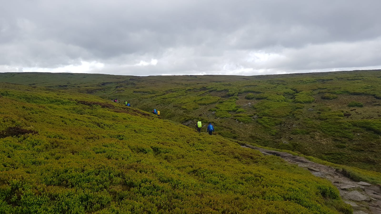

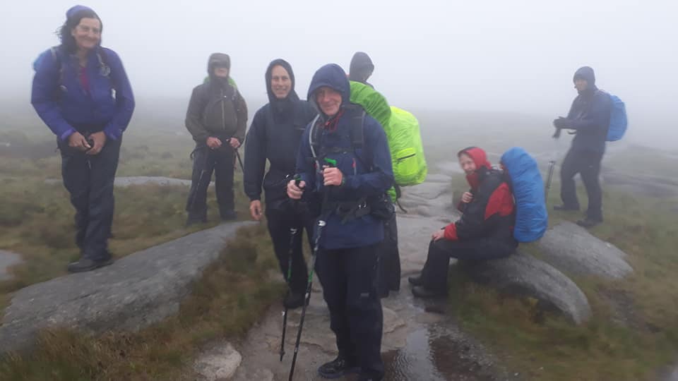
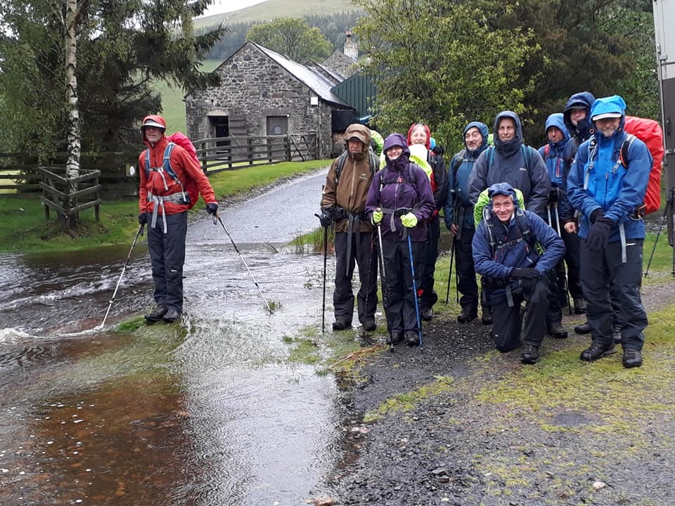
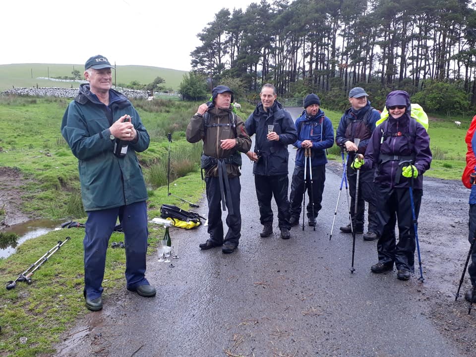
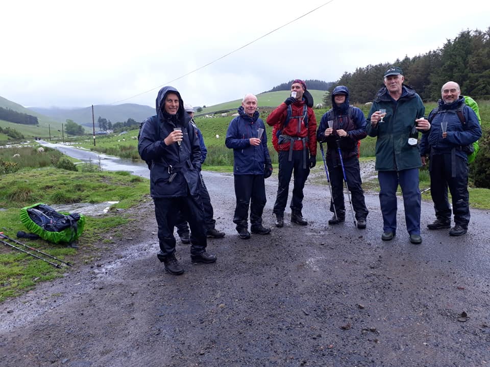
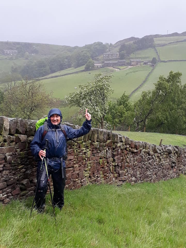
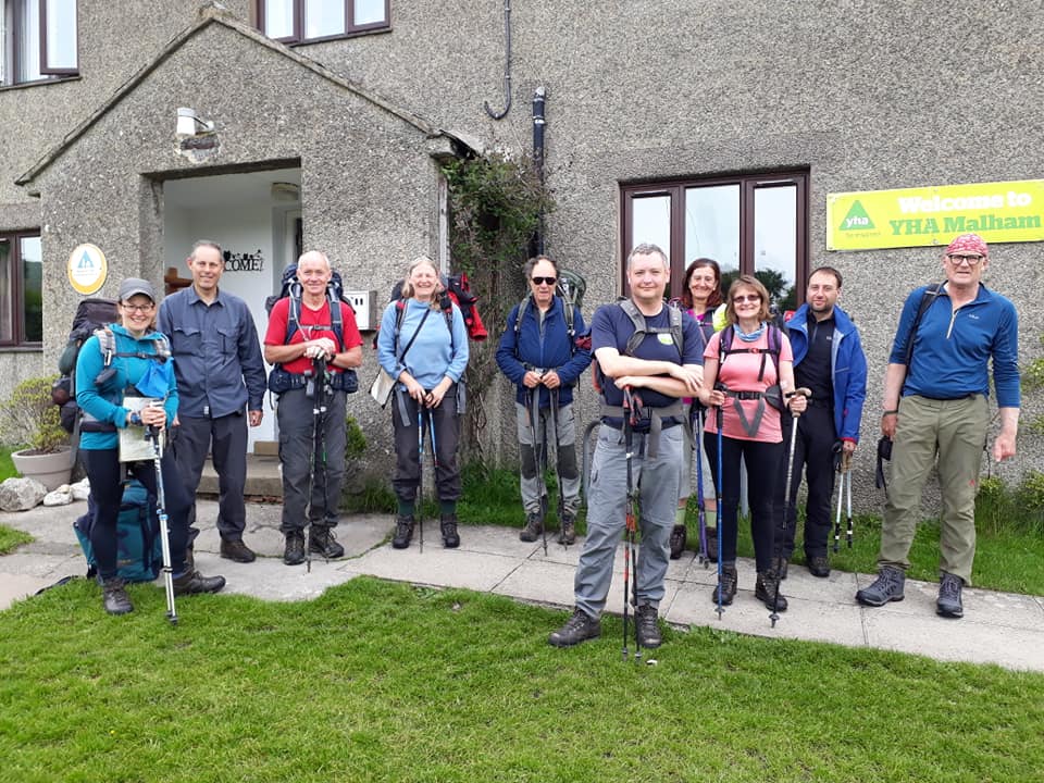
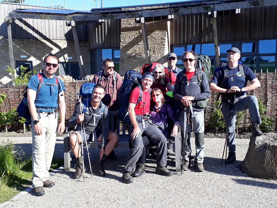
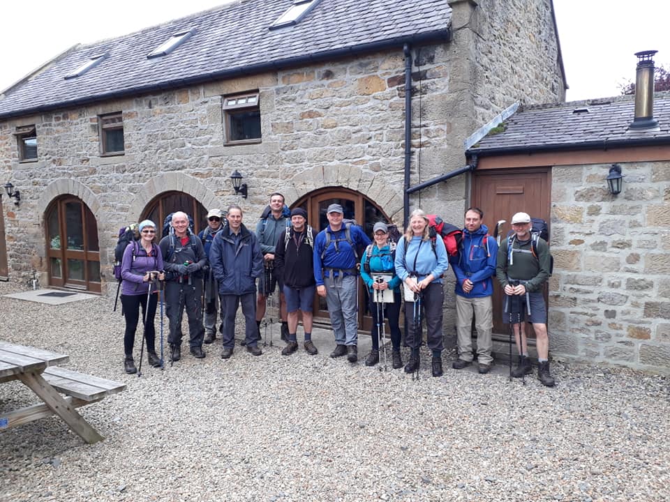
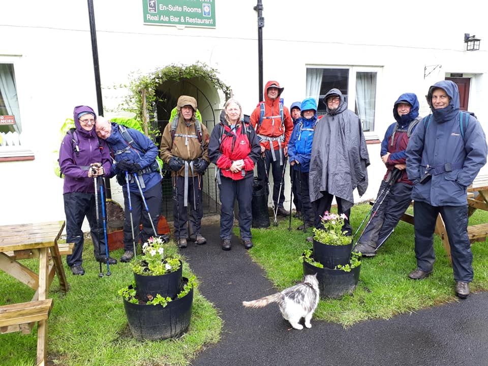
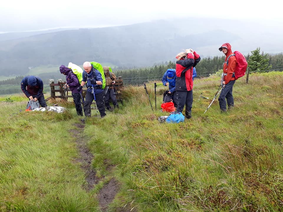
After a glorious sunny day of travel yesterday, we were all thoroughly excited to begin day #1 of our epic trip. Yet it felt like someone was eagerly watching our progress and decided to test us right from the outset. The heavens opened as we were gathering outside the hostel and even our starting picture was dripping wet.

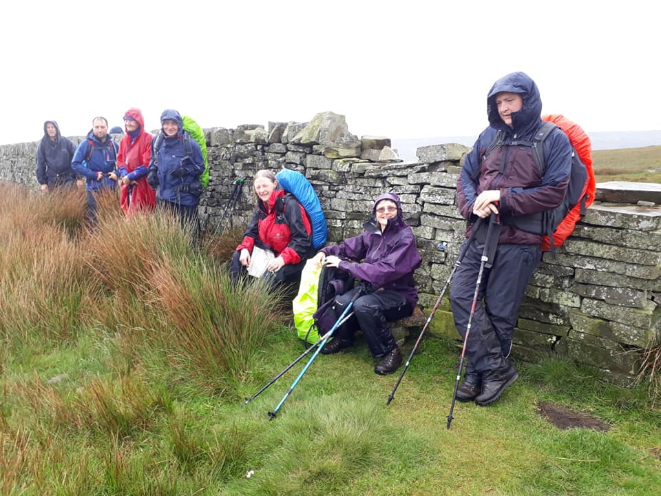
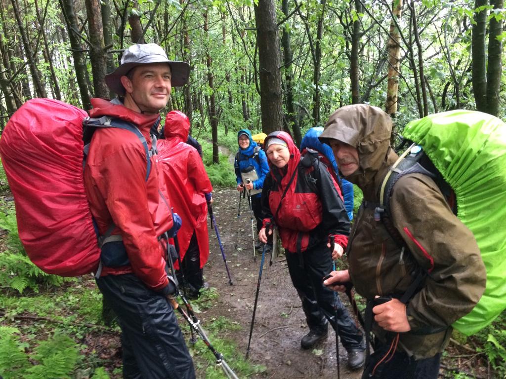
We trudged along for several miles, adjusting kit and greatly bemoaning our lot in life. We finally reached Jacob’s Ladder and had to screw our courage to the sticking place. It turns out the climb was actually not the worst part – as soon as we hit the top of the ridge, we were bombarded with drizzle and then heavy rain driven by a head wind. Visibility was limited but spirits remained surprisingly optimistic. We soldiered on and passed many other suitably drenched travellers including a tent with a few volunteers hunkered down as part of some event being run on the moor. We decided not to stick around to find out what was going on. 🙂
Most people’s waterproofs failed in a surprisingly varied number of ways. Lunch at Kinder Downfall was postponed – it was simply too wet to stop. Fortunately, we were able to find a little bit of cover later and wolf down a few sandwiches.
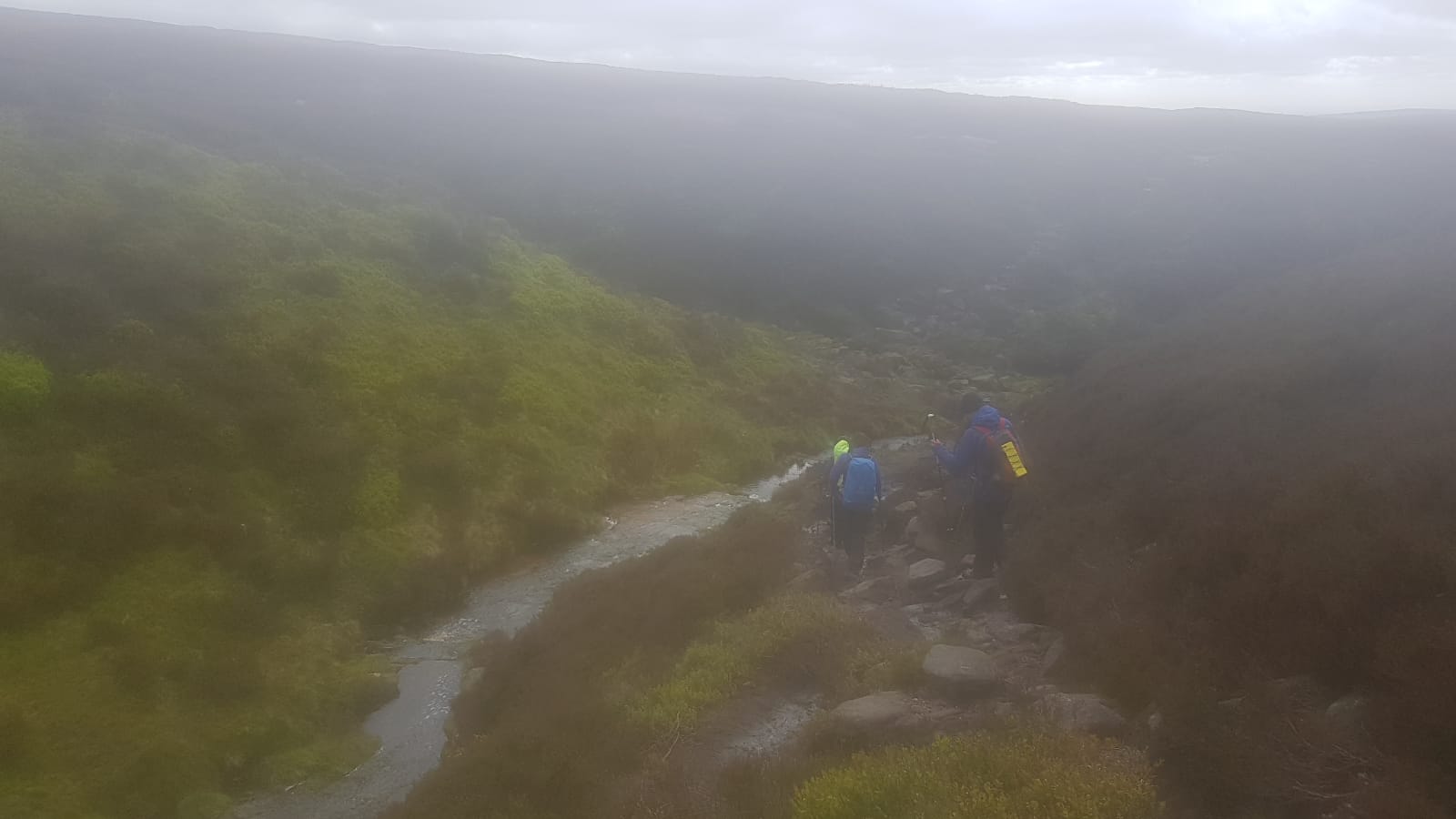
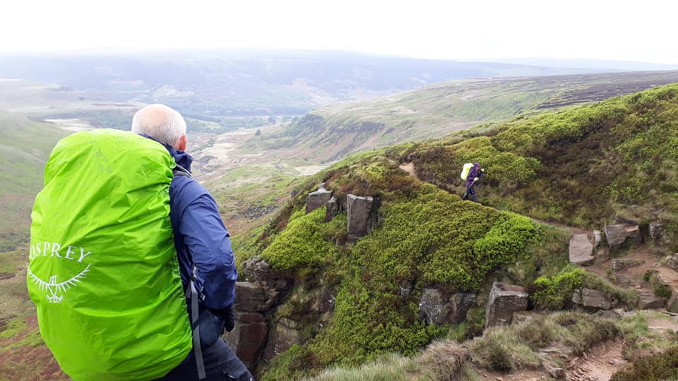
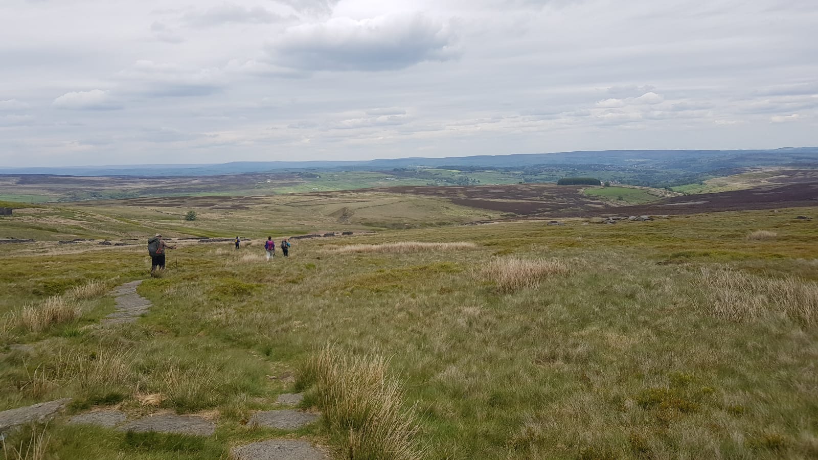
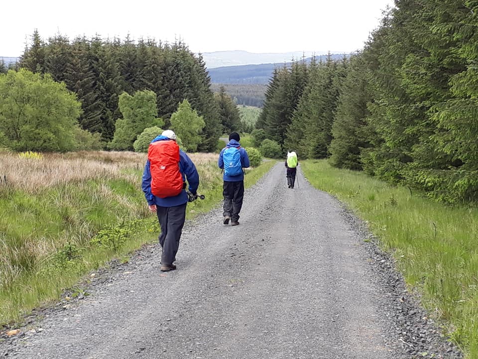
Towards mid-afternoon, the weather began to ease and we were able to make some decent progress across the large stones that make up this part of the Pennine Way.
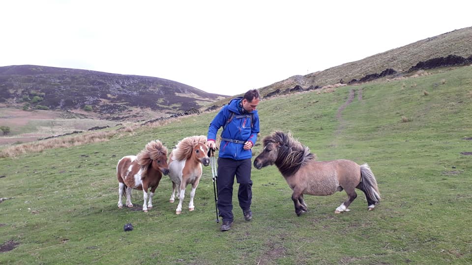
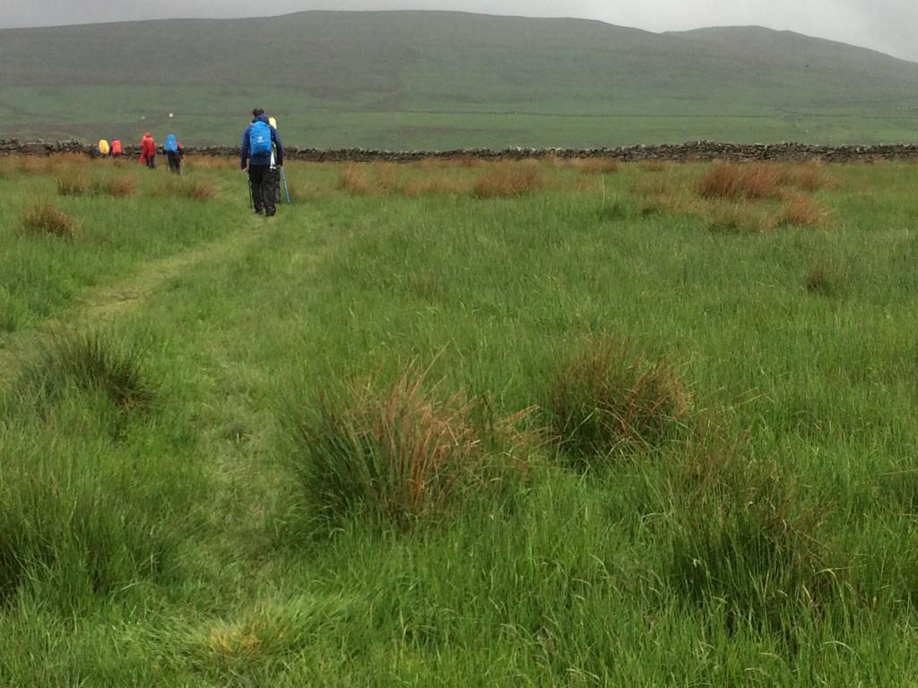
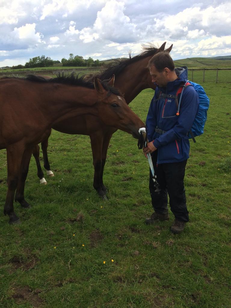
As we finally began to head down off the ridge we were treated to some rewarding views and even more impressive foliage. I ran on ahead down one of the final hills and managed to make some new four-legged friends. There were several Shetland ponies who seemed eager to say hello… 🙂
By the time we arrived at our accommodation we were all a bit damp and bedraggled, but ready to see what day #2 had in store. After all, we’ve been promised an easy day tomorrow… how hard can it be?!
DAY TWO – Monday 27th May
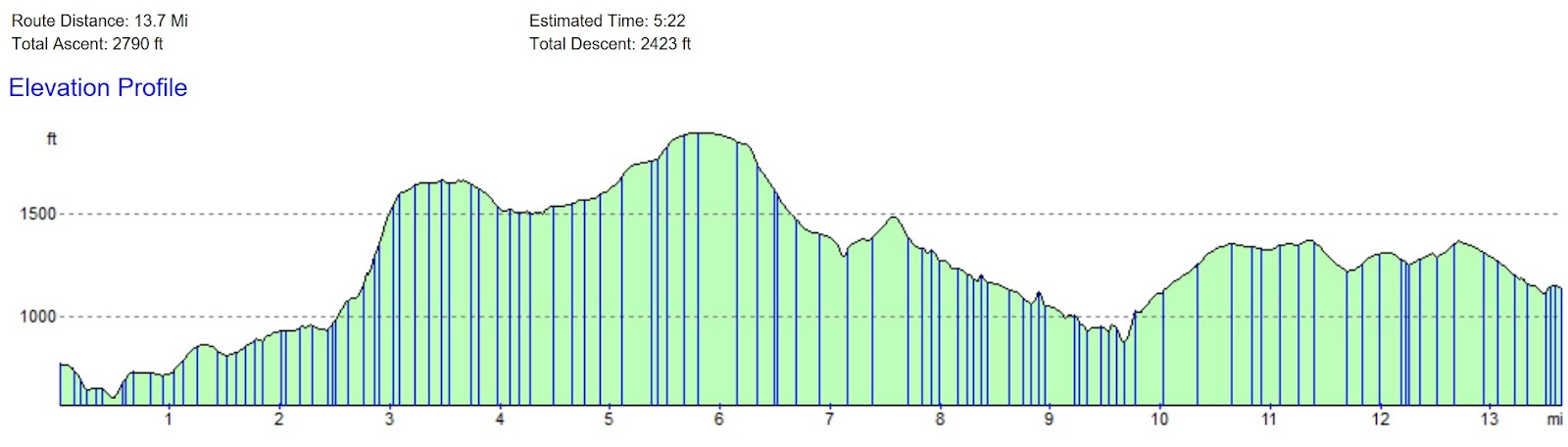
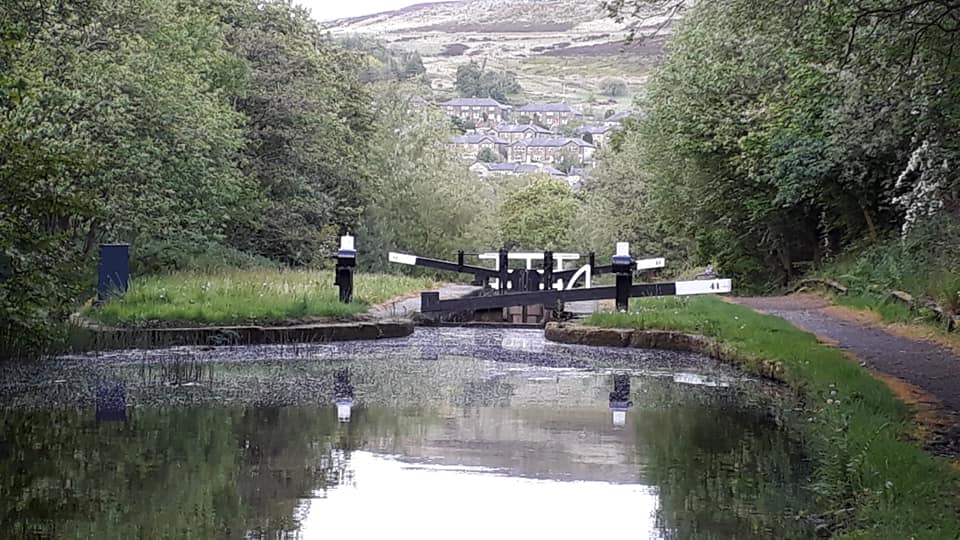
Crowden to Marsden – 12 Miles
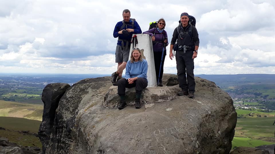
From Crowden the route climbs up to the summit of Black Hill on the eastern part of Saddleworth Moor. It passes a series of reservoirs before leaving the Peak District National Park at Standedge.
Report by Miriam. Pics Peter E. & Rachael.
Miriam’s report arrived as a WhatsApp pic. In the interests of an easy read I have transcribed it below – but, actually, it wasn’t really necessary. Those who know Miriam will hear her voice coming through loud and clear! [ed.]
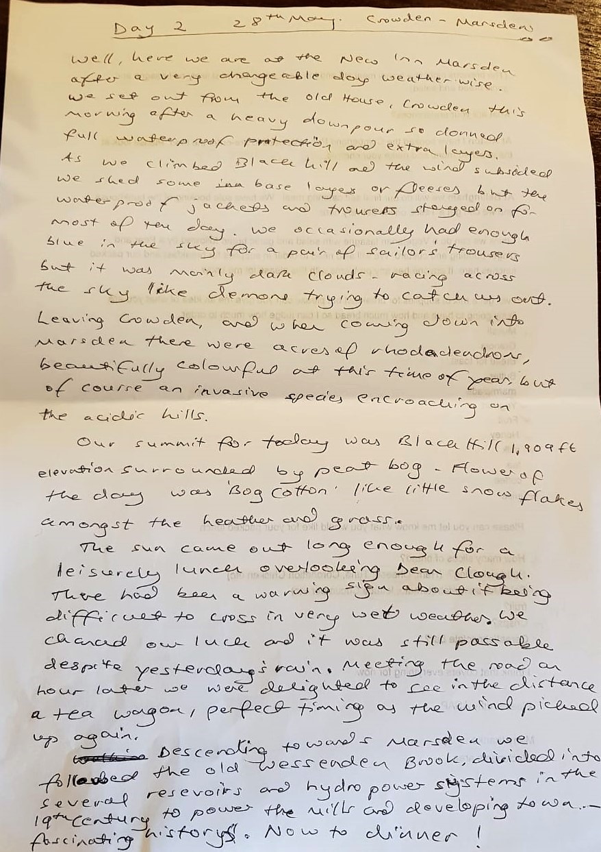
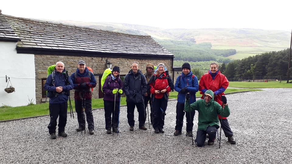
Well, here we are at the New Inn Marsden after a very changeable day weather-wise. We set out from the Old House, Crowden, this morning after a heavy downpour so donned full waterproof protection and extra layers. As we climbed Black Hill and the wind subsided, we shed some base layers or fleeces but the waterproof jackets and trousers stayed on for most of the day. We occasionally had enough blue in the sky for a pair of sailor’s trousers [sweet – ed.] but it was mainly dark clouds – racing across the sky like demons trying to catch us out.
Leaving Crowden, and when coming down into Marsden there were acres of rhododendrons, beautifully colourful at this time of year, but of course an invasive species encroaching on the acidic hills.
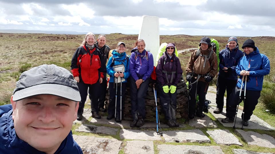
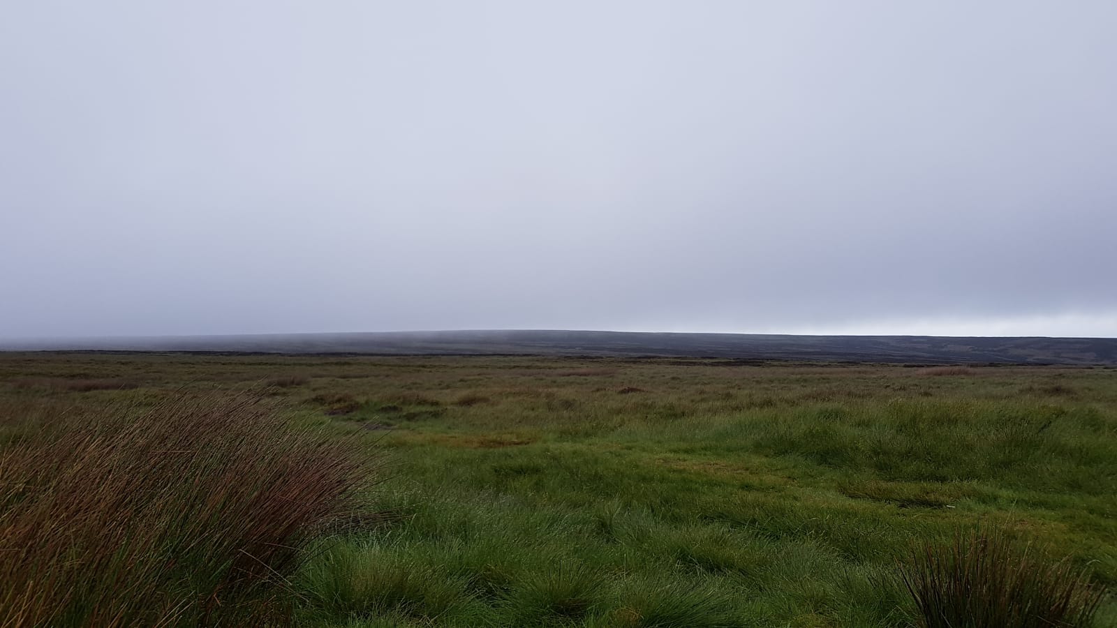
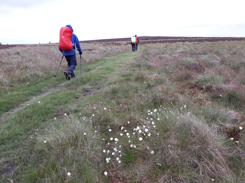
Our summit for today was Black Hill – 1,909 ft elevation surrounded by peat bog. Flower of the day was ‘Bog Cotton’, like little snowflakes amongst the heather and grass.
The sun came out long enough for a leisurely lunch overlooking Dean Clough [? – ed.]. There had been warning sign[s] about its being difficult to cross in very wet weather. We chanced our luck and it was still passable despite yesterday’s rain. Meeting the road an hour later we were delighted to see in the distance a tea wagon, perfect timing as the wind picked up again.
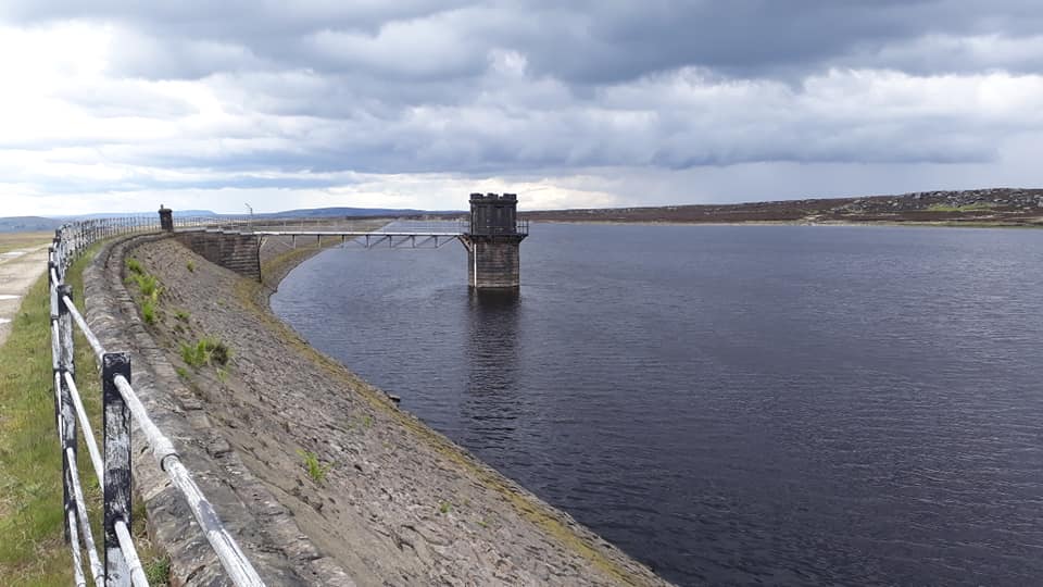
Descending towards Marsden we followed the old Wessenden Brook, divided into several reservoirs and hydro-power systems in the 19th century to power the mills and developing town. Fascinating history.
DAY THREE – Tuesday 28th May
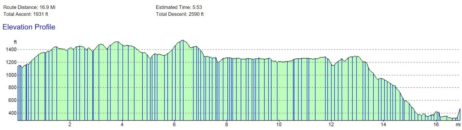
Marsden to Hebden Bridge – 18 Miles [or 21?]
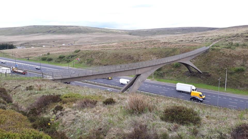
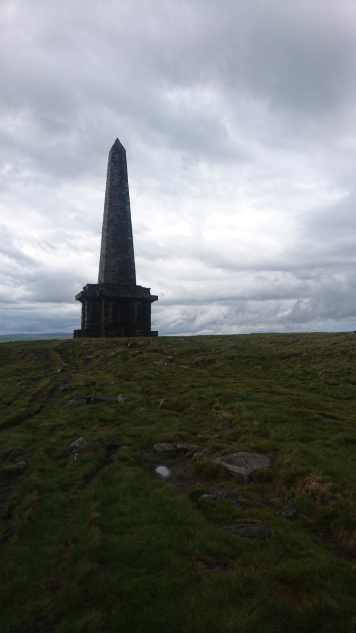
From Standedge the route continues north along a series of gritstone edges. After crossing the M62 motorway by a long footbridge near Windy Hill the trail follows Blackstone Edge then climbs to the prominent monument on Stoodley Pike. It then descends into the Calder valley towards Hebden Bridge, the largest settlement near the route.
Pics contributed by Pete E., Rachael & Toby. Text by Toby

We climbed steeply out of Marsden, leaving the river and canal behind.
After making the first hill of the day – White Hill – we headed towards the M62. Luckily for us there is a footbridge across and we were cheered by the waves and horns of the passing traffic.
We had lunch on Blackstone Edge, followed by a quick tea or beer in the White House pub, and then a long flat easy walk past several reservoirs.

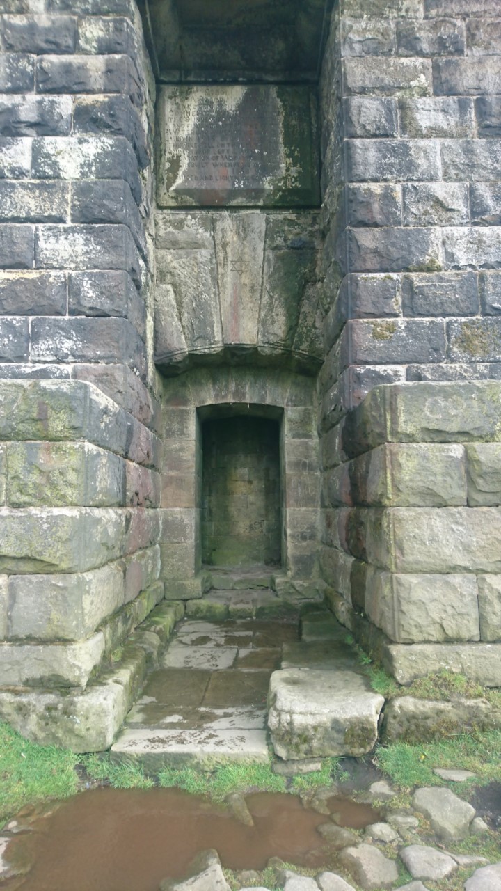
As we left the reservoirs behind we drew ever closer to Stoodley Pike, a large monument to Napoleon’s defeat. Up close it is very dour and impressive; unlike the last time I visited you can get inside and climb up a dark staircase to a balcony with views of the valley.
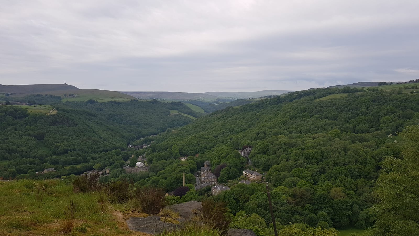
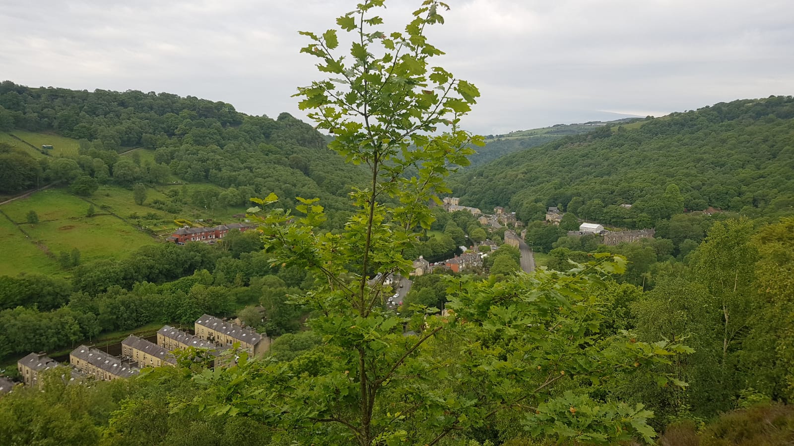
Approaching Hebden Bridge, we walked through some grassy woodlands that still had a smattering of bluebells, and chose a path towards the canal that petered out on us and required some careful balancing before we made it to the edge of town.
Hebden Bridge has been called the Totnes of the North, and so it proved with a colourful variety of alternative shops and inhabitants. We crossed the town and headed up the steep streets to our hostel – a very eco-friendly affair where some of the beds could only be reached by ladders.
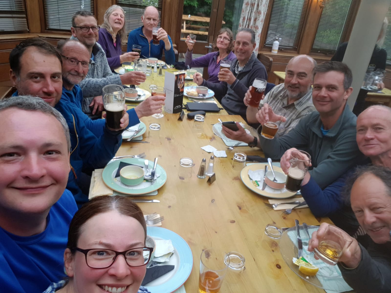
Dinner was at a local Greek restaurant, which provided a welcome break from pub grub.
DAY FOUR – Wednesday 29th May
Hebden Bridge to Haworth – 14 Miles
The trail climbs out of the Calder valley passing the Walshaw Dean Reservoirs and climbs to the ruins of Top Withens, said to have been the inspiration for Wuthering Heights. From here we will detour off route along the Bronte way to Haworth.
Report contributed by Rachael, pics by Rachael and Peter E.
We had an early 8am start to make the most of the weather. It was nice to have Albert back with us, his leg now feeling much better. Today was Julian’s turn to wimp out with a knee injury.
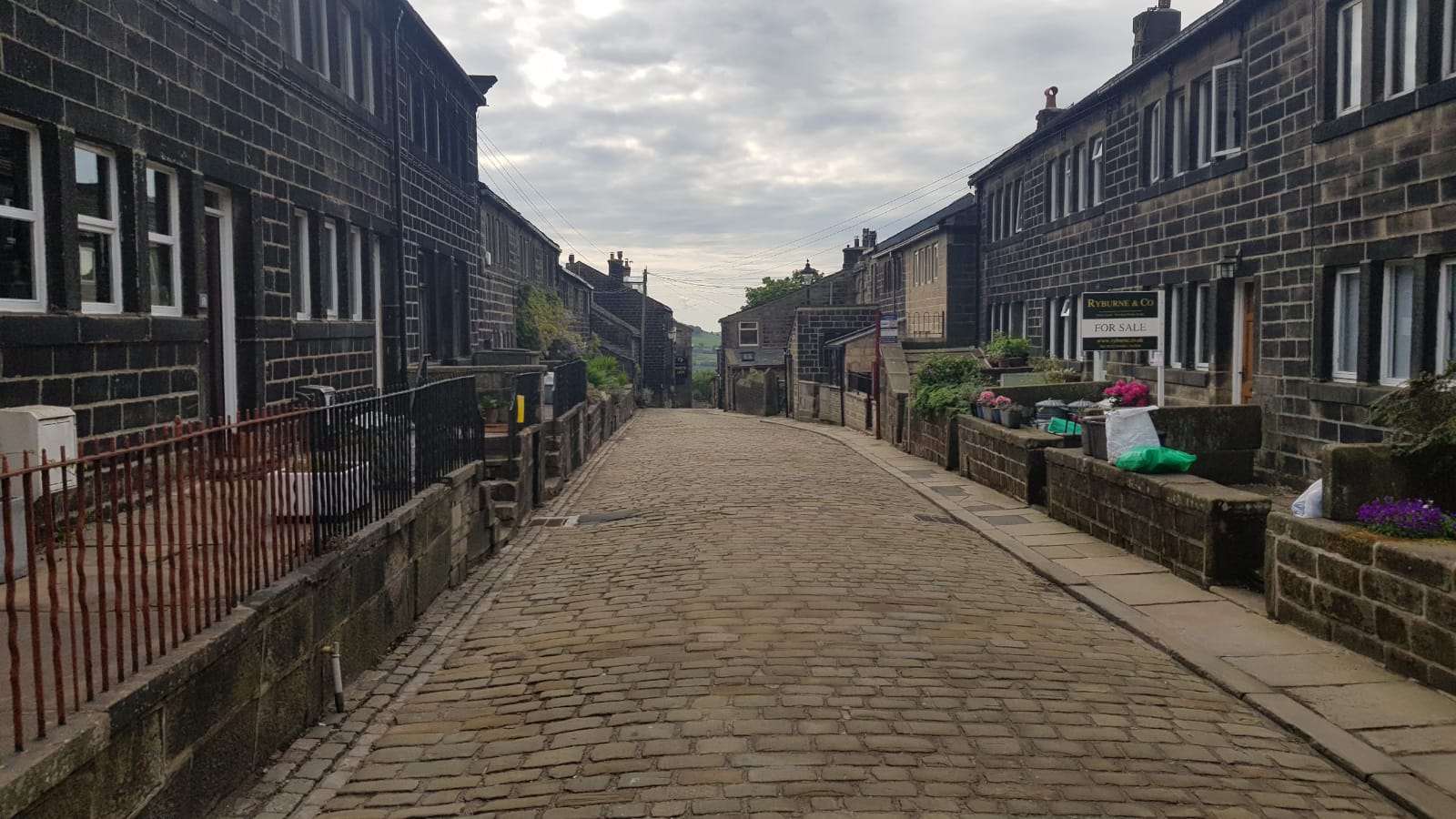
It was a steep climb out of Hebden Bridge up though woods on the Hebden Loop path to the pretty village of Heptonstall. Here we took a detour to the churchyard to visit the grave of Sylvia Plath.


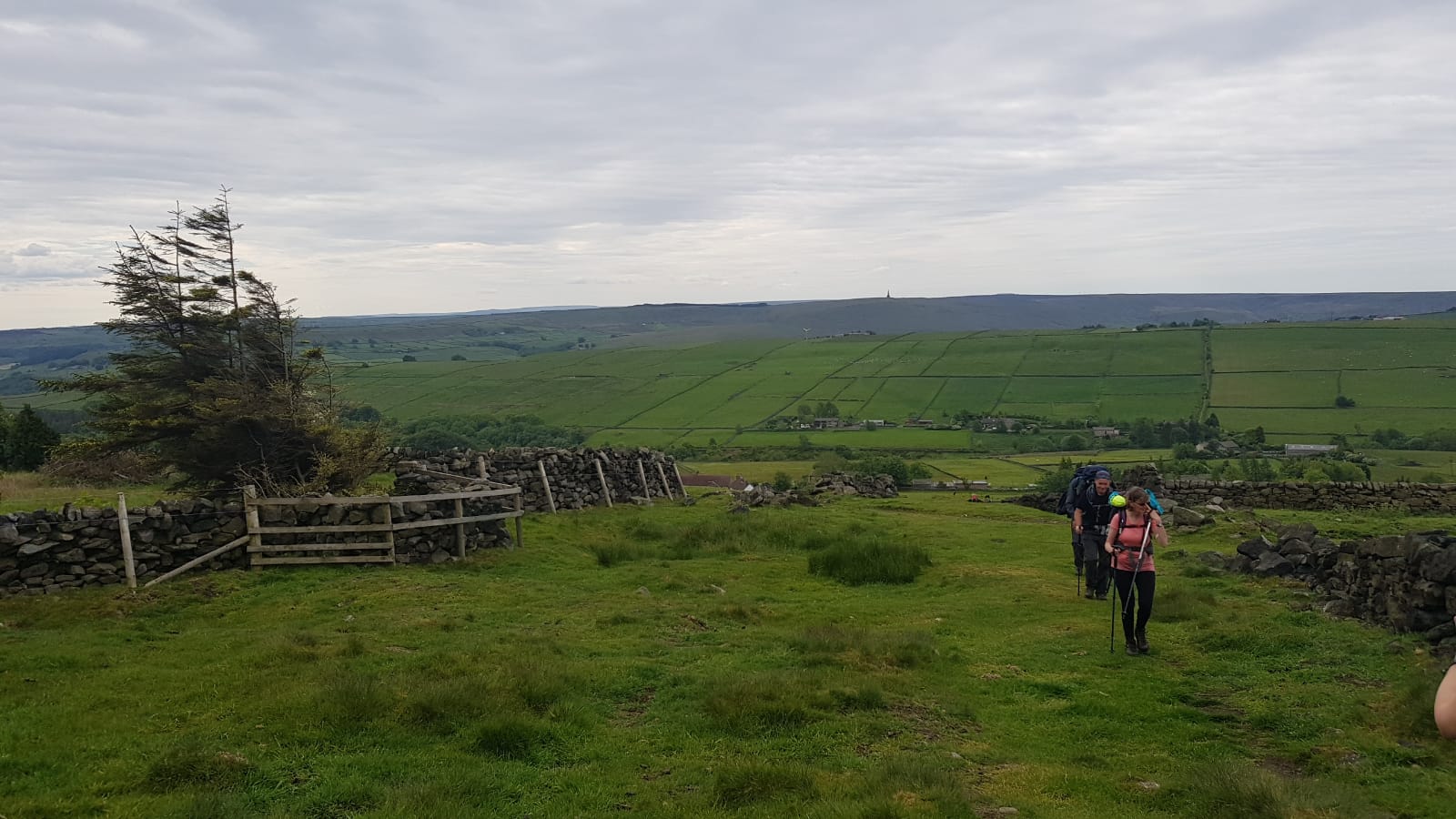
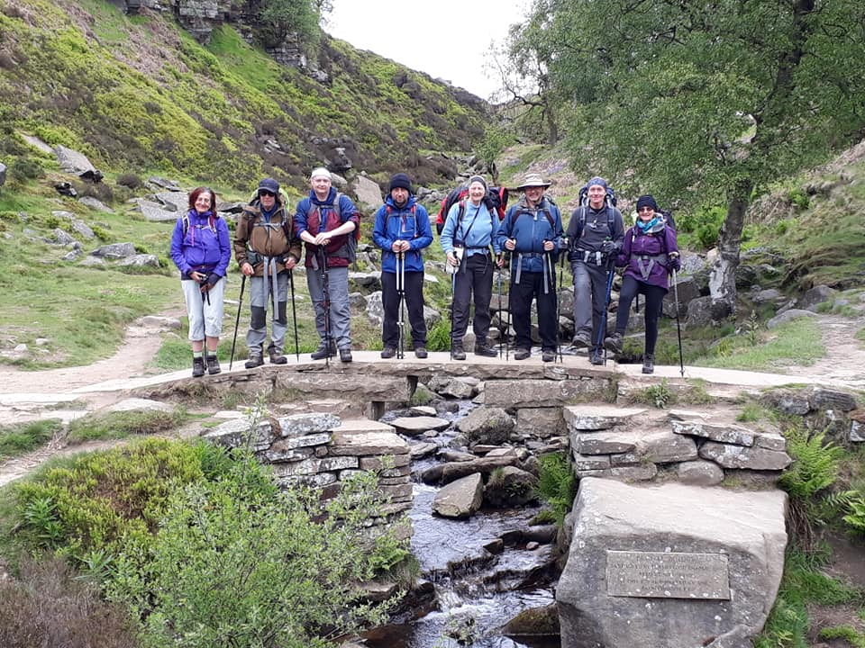
We rejoined the official Pennine Way and continued northwards over Clough Head Moor. We took a short break by the bridge over Graining Water then onwards past the Walshaw Dean Reservoirs. It was very peaceful here, just the echoing calls of numerous Lapwings (Peewit, Peewit) and the ocasional Curlew.
After a long climb up over a wiggly slabbed path the view opened out and we saw the ruined building of Top Withins. (The building that inspired Emily Bronte’s novel Wuthering Heights) And more importantly our lunch time location.


We soon detoured off the Pennine way down on the Bronte Way, towards the Bronte Waterfall, over the Bronte Bridge, past the Bronte house and into the Bronte village of Haworth. After a refreshing pause for tea and cake in the village we continued on our way passing the Bronte bus, the Bronte Balti ( Bronte Vegetarian Sizzler available at £3.95) and on up past the Bronte Hotel to the hostel.
The lovely day was completed with a meal fit for a Bronte at the Old Hall.
DAY FIVE – Thursday 30th May
Haworth to Earby – 16 Miles
We shall rejoin the trail and continue on crossing more moorland to the villages of Cowling and Lothersdale. We then climb up to Pinhaw Beacon before dropping down to the village of Earby.

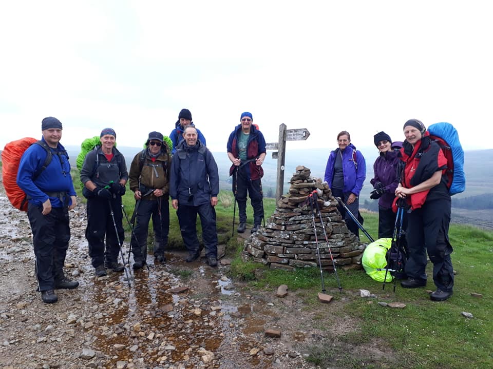
Report contributed by Albert; pics various
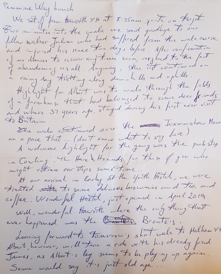
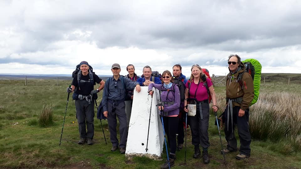
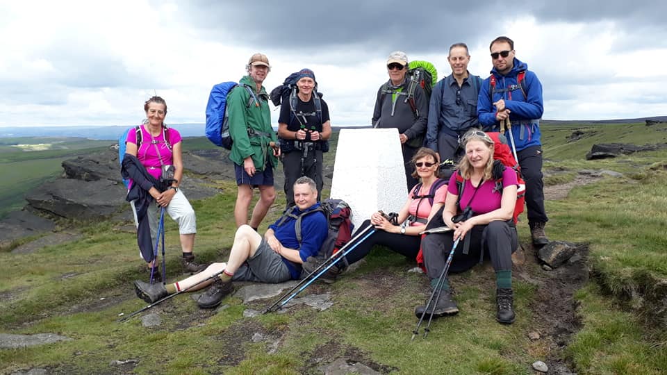
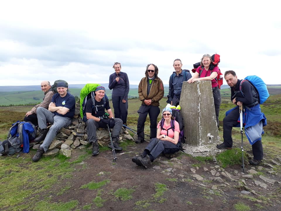
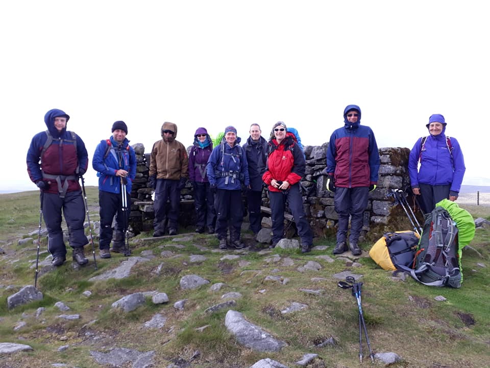
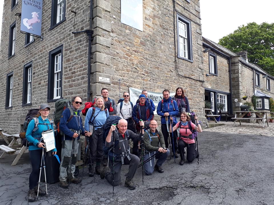
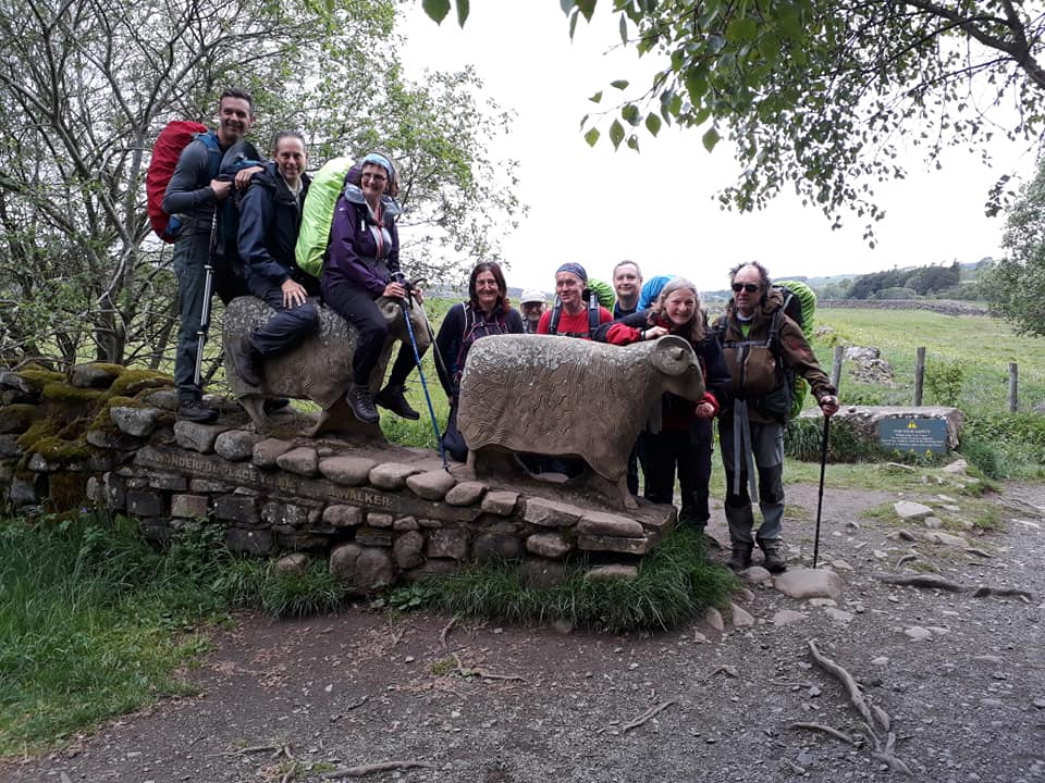
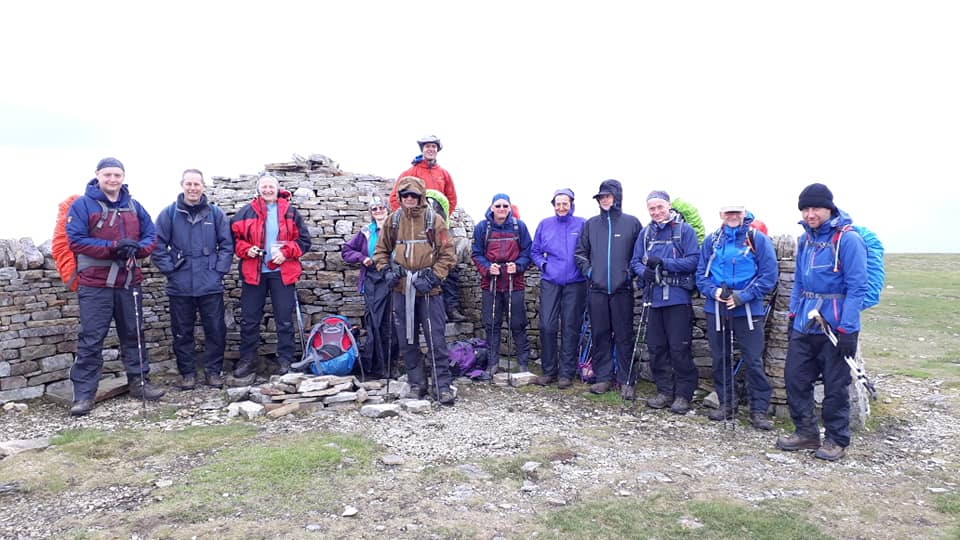
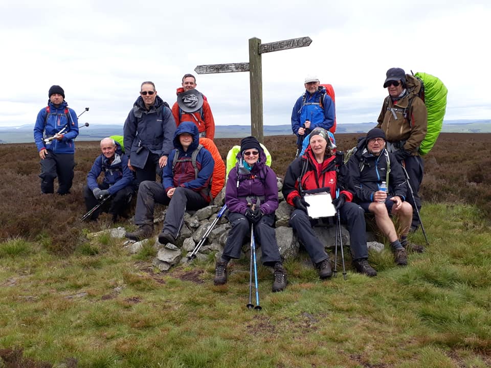
The Pennine Way Bunch
We set off from Haworth YH at 8.35am – quite on target. Two minutes into the walk we said goodbye to our fellow walker Julian who had suffered from the walk curse and injured his knee two days before. After confirmation of no chances to recover any time soon, he resigned himself to the fact of abandoning us all.
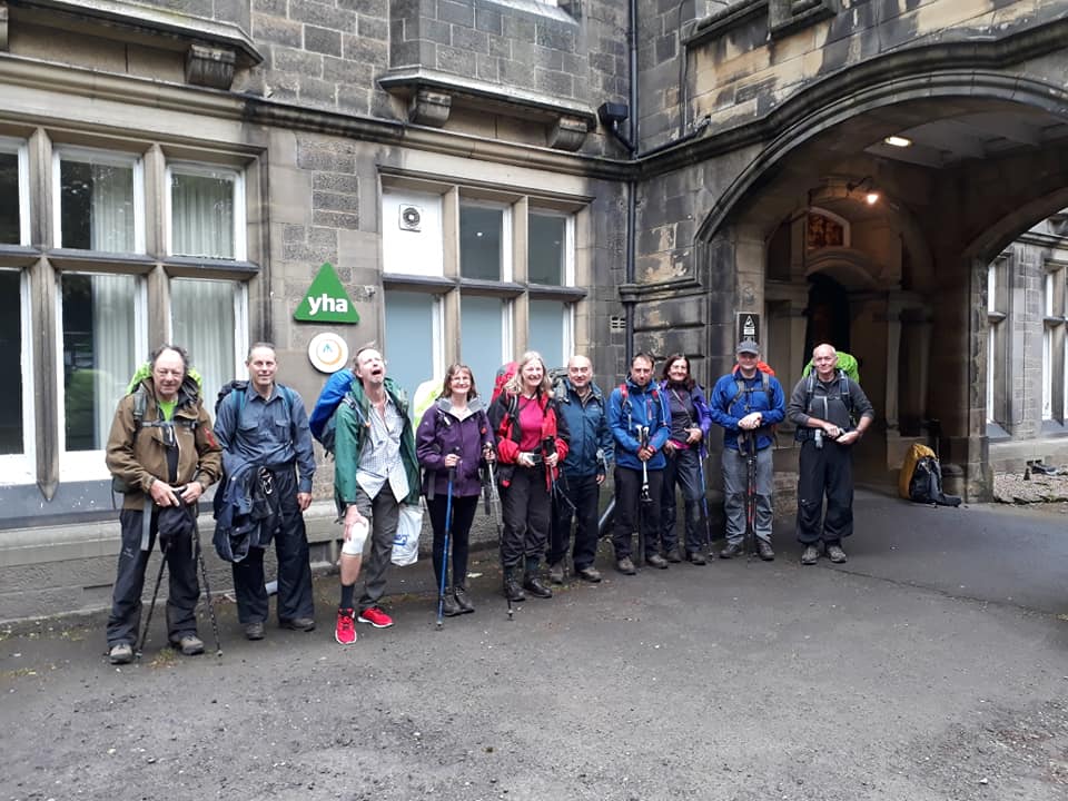
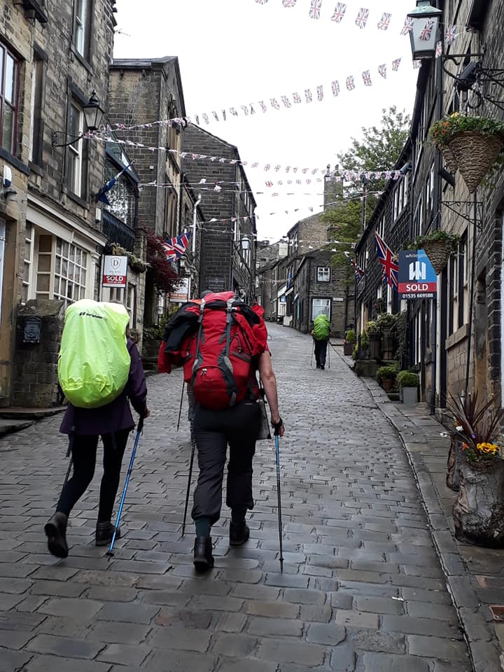

Anyway, the rest continued on through the rainy day – trotting along downhills and uphills.
Highlight for Albert was to walk through the fields of a farmhouse that had belonged to some dear friends and where, 37 years ago, he stayed during his first ever visit to Britain.
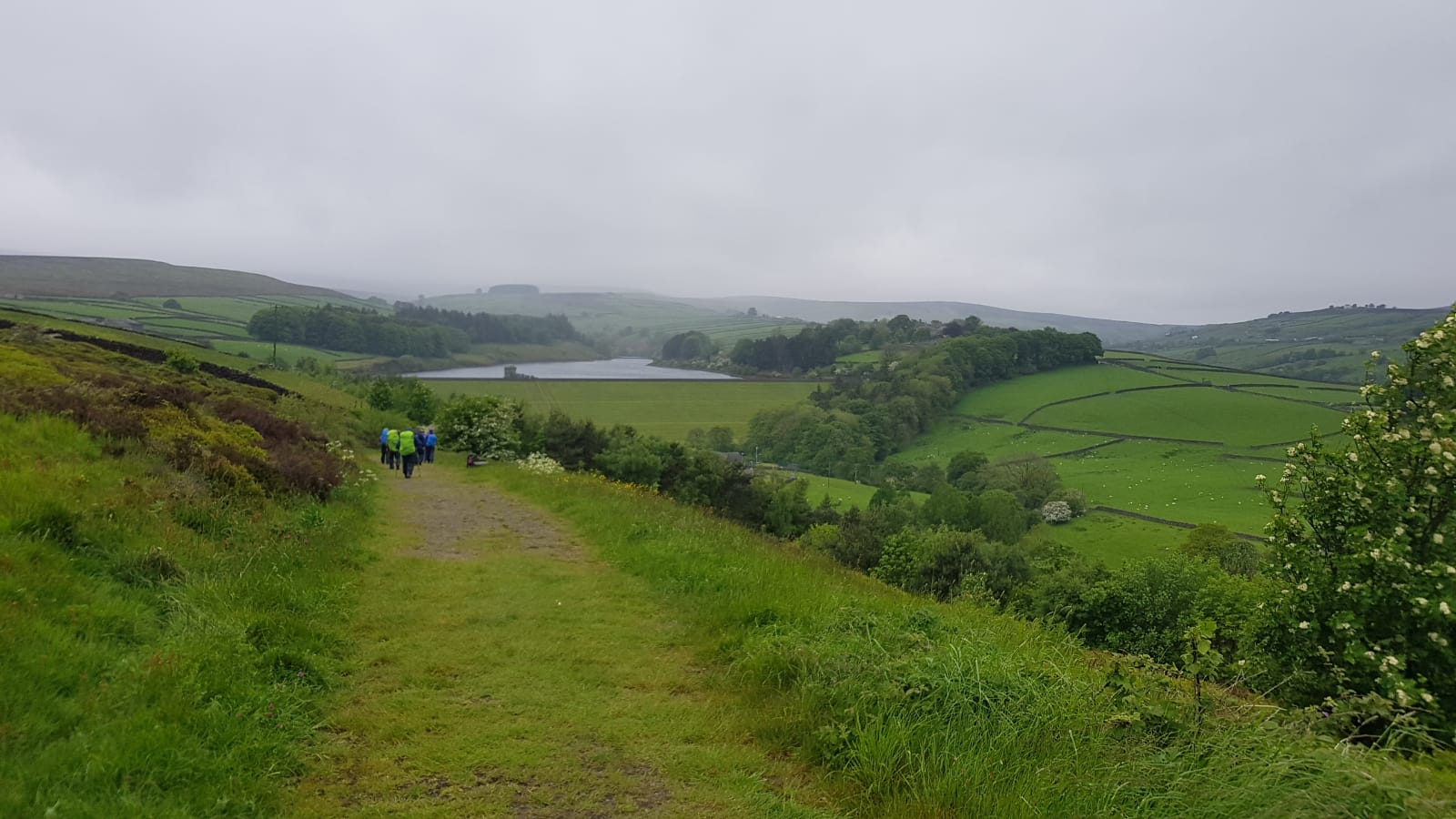
The walk continued over the Ickornshaw Moor at a pace that… (don’t know what to say here).

A welcome highlight for the gang was the pub stop in Cowling – the Hare and Hounds for those of you who might retrace our steps some time.

At our arrival in Earby at the Youth Hostel, we were treated to some delicious brownies and tea and coffee. Wonderful Hostel, just opened in April 2019. Well, wonderful [compared to] Haworth where the only thing that ever happened was the Brontës.
Looking forward to tomorrow, short walk to Malham YH. Albert, however, will take a ride with his already friend James [Who is James? – ed. “The guy who delivers the bags for the pack horse service. Albert has made friends by being sent around a few times. He is using him tomorrow for a lift” – Pete E.], as Albert’s leg seems to be playing up again. Some would say it’s just old age…
DAY SIX – Friday 31st May
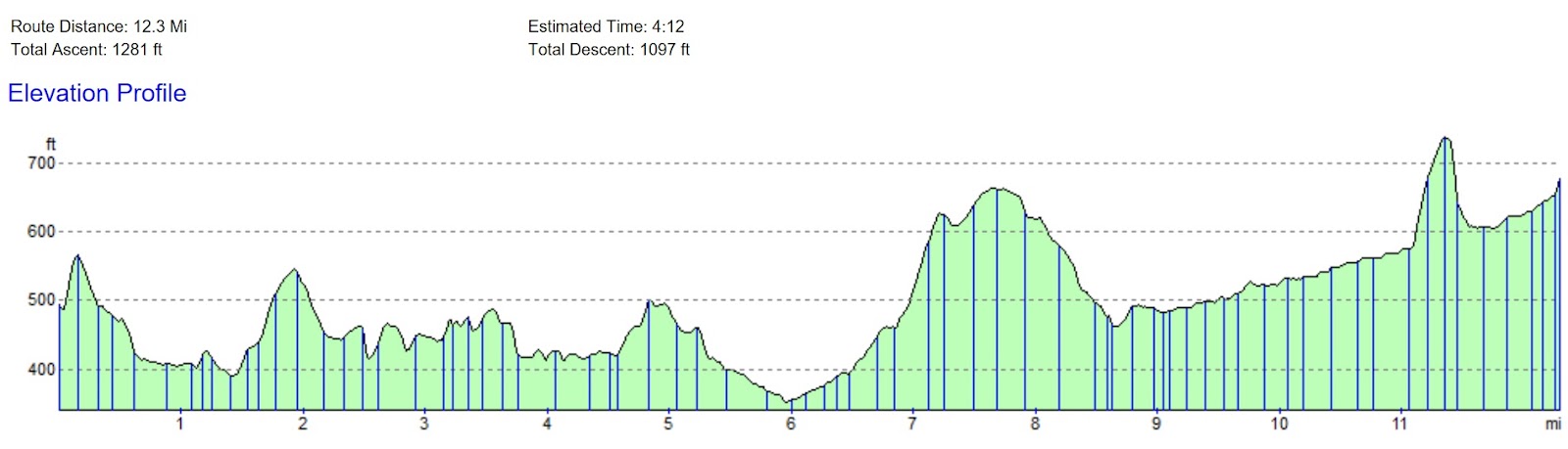
Earby to Malham – 13 Miles
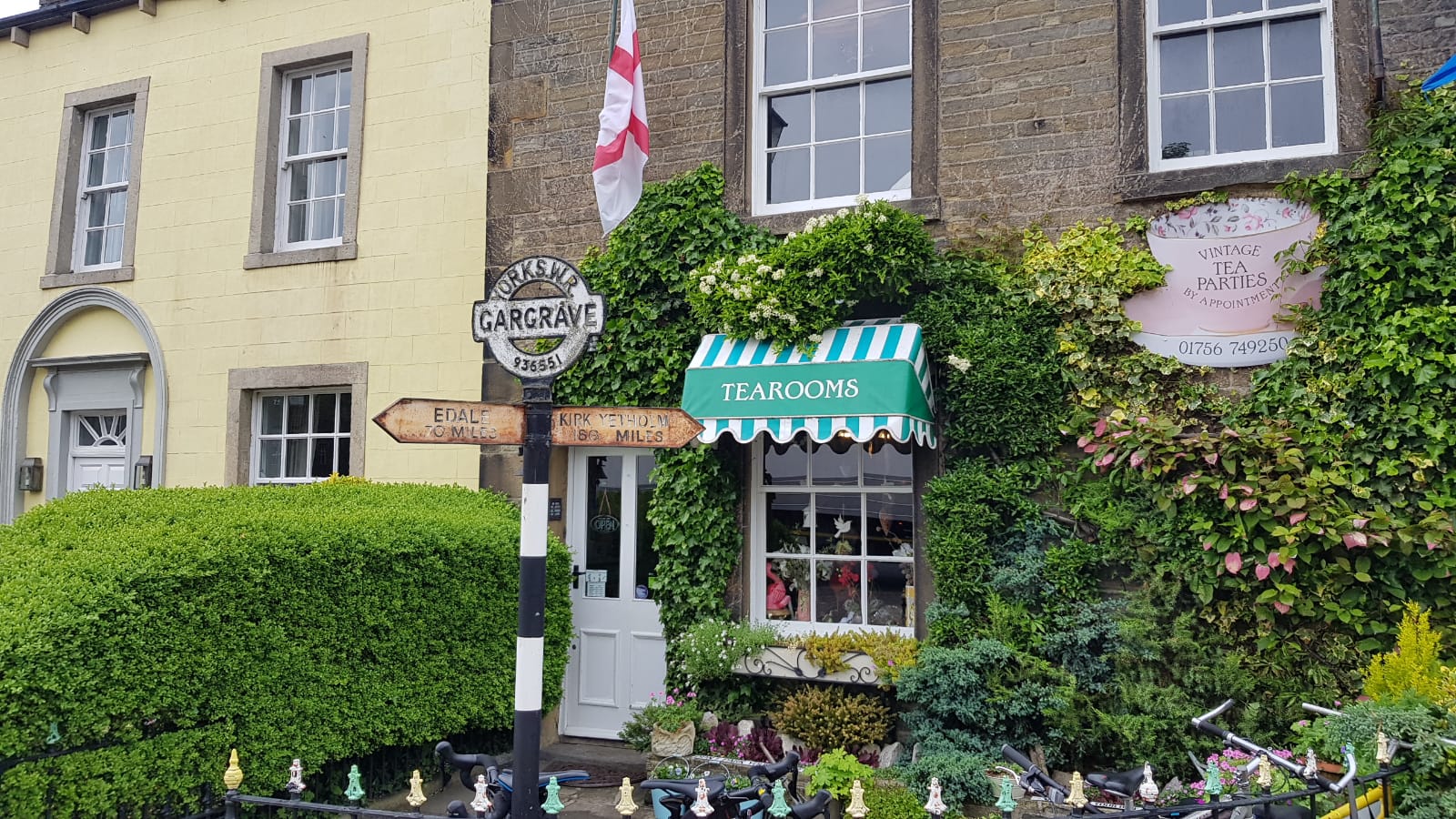
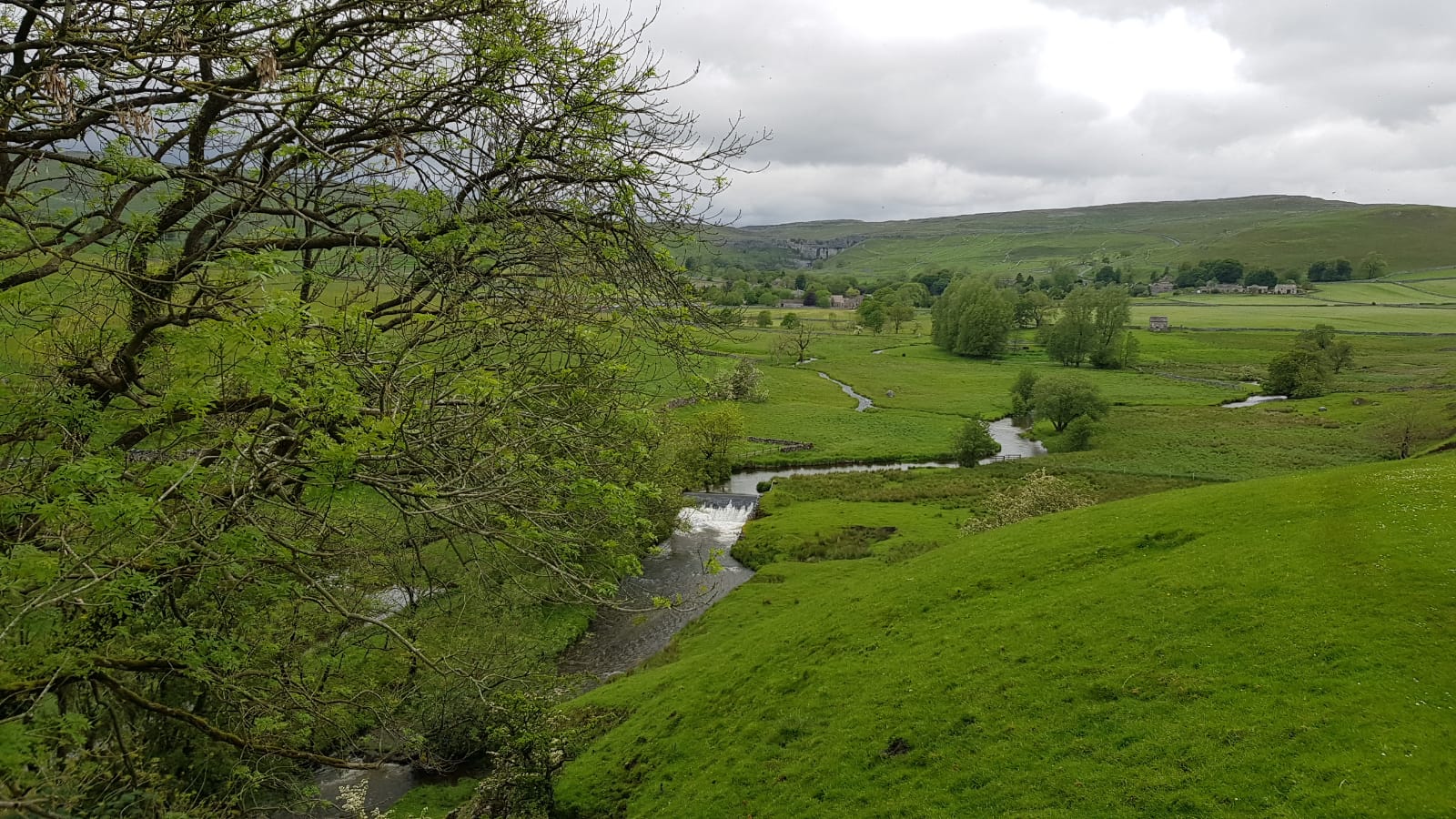
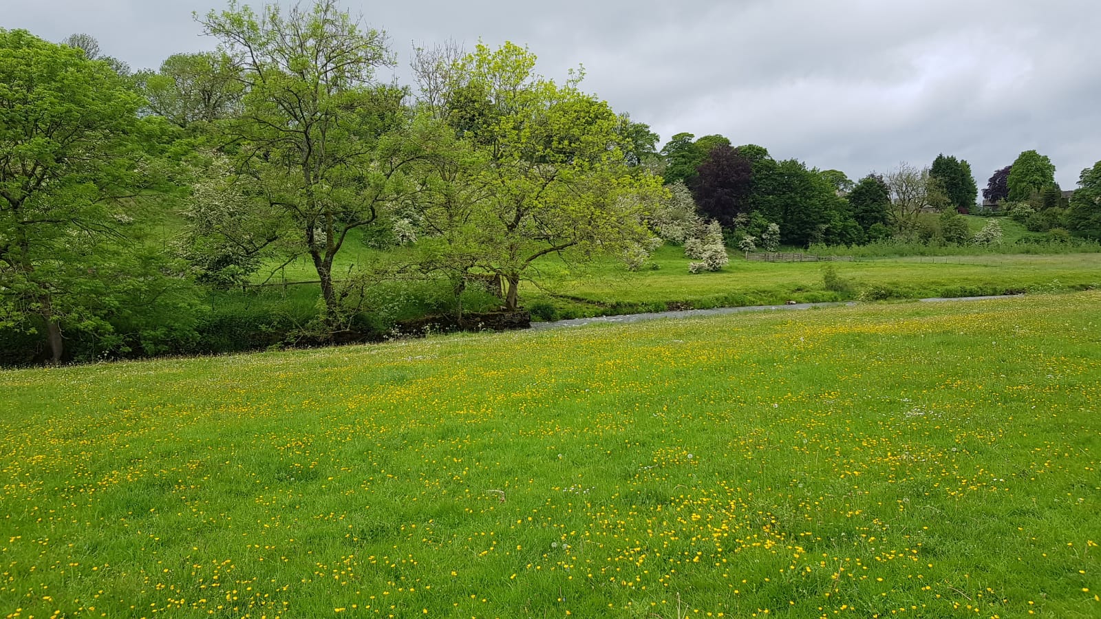
This section follows more low level terrain, including a short section of the towpath of the Leeds and Liverpool Canal at East Marton, to reach the village of Gargrave in Airedale. Shortly afterwards we will enter the Yorkshire Dales National Park. It follows field paths, through the small villages of Airton and Hanlith to the larger village of Malham.
Pics contributed by Pete E. & Rachael
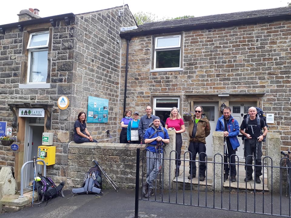
We had a very enjoyable evening at the newly refurbished Earby hostel, definitely one to return to another time.
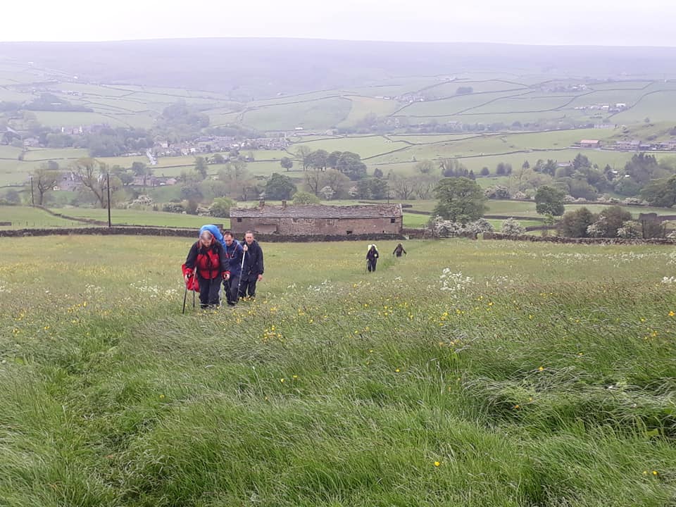
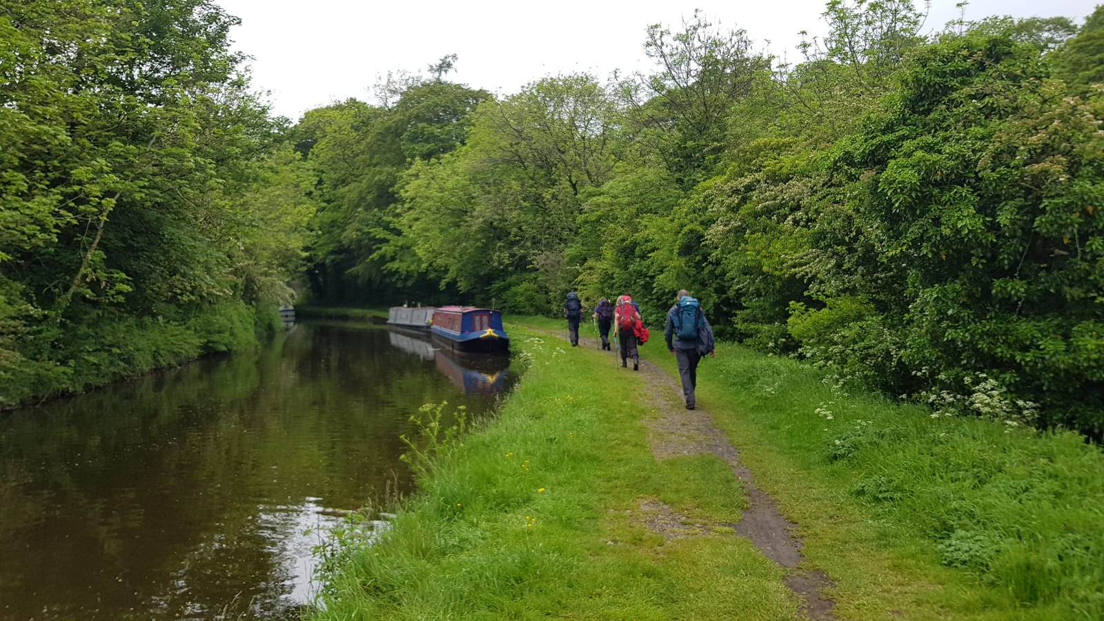
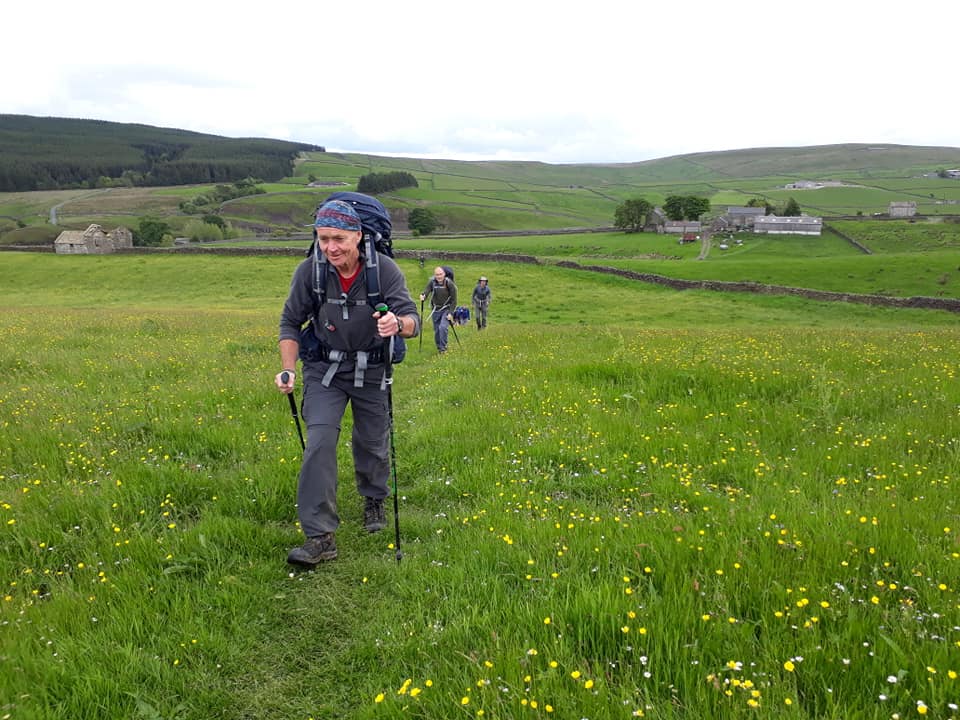
It was just a short way to walk across the meadows following Earby Beck to rejoin the Pennine Way. The day was taken at a much more casual pace as we knew we didn’t have so far to go. It was also much easier walking across lower level undulating terrain. After passing around Langber Hill we suddenly arrived on the tow path of the Leeds to Liverpool Canal.
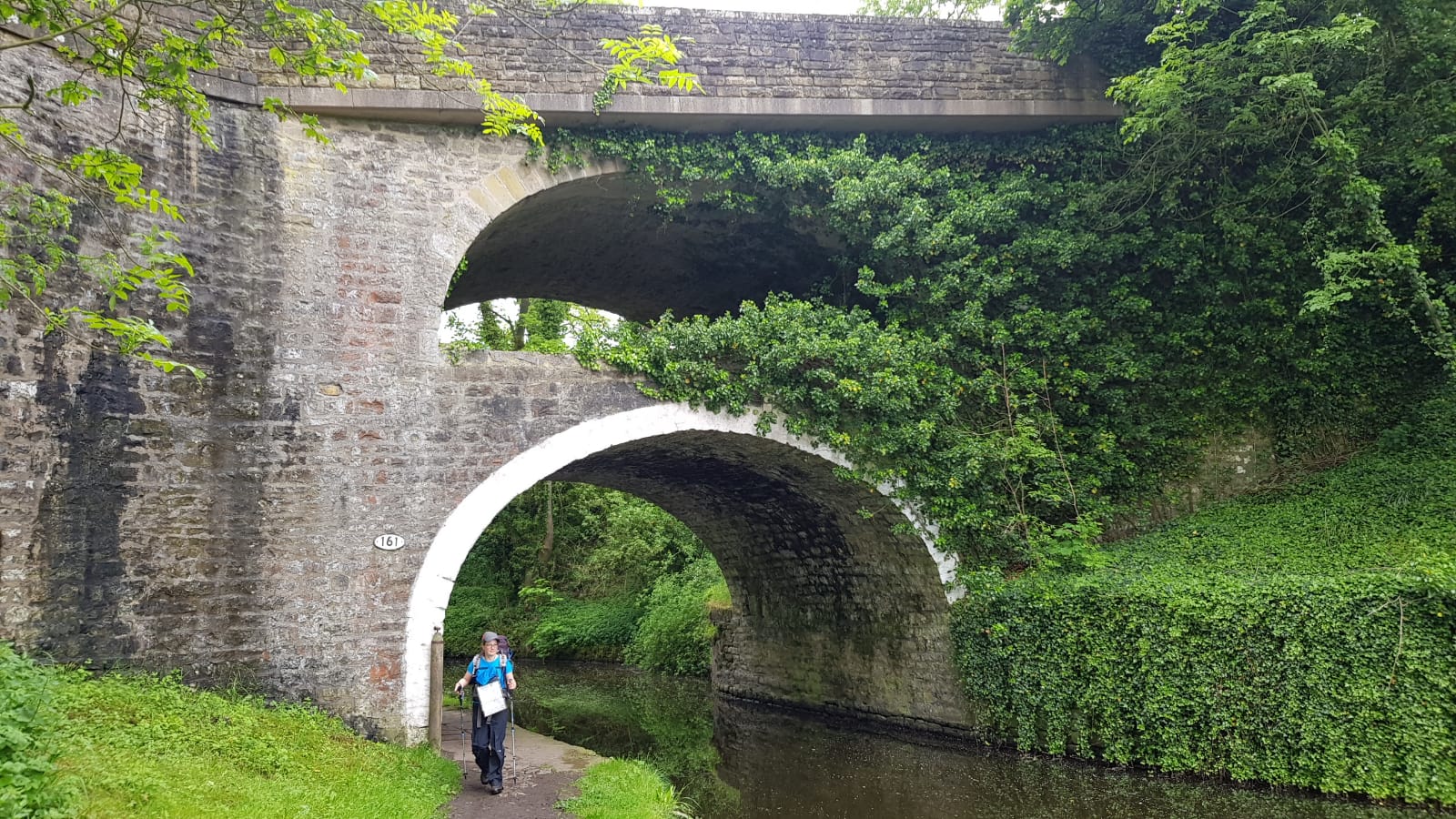
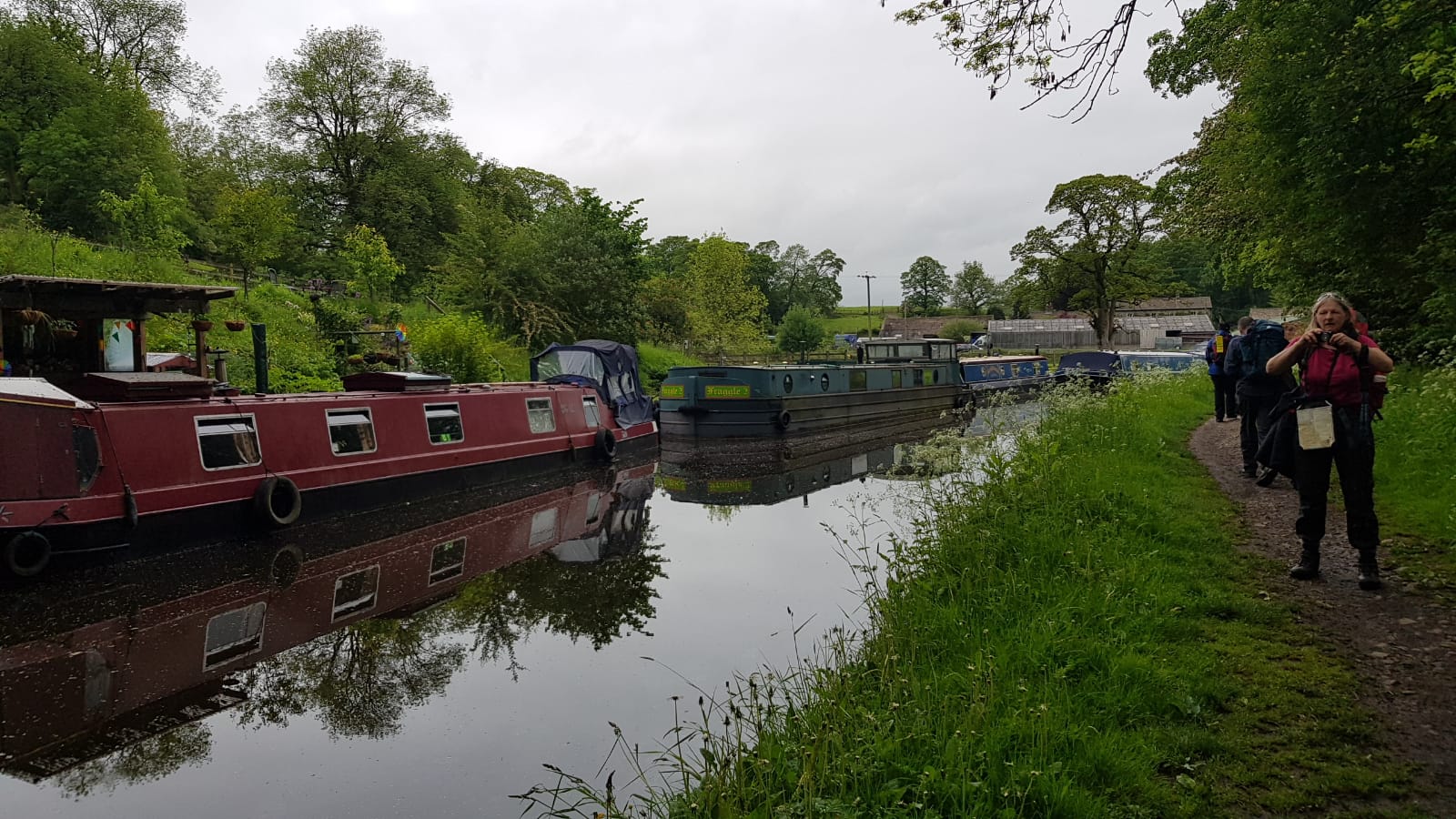
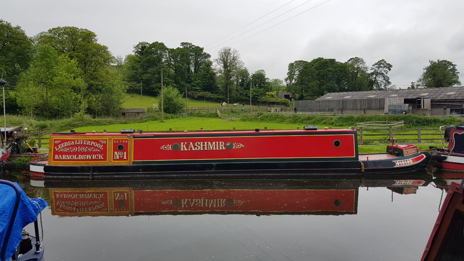
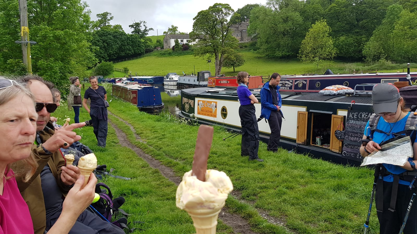
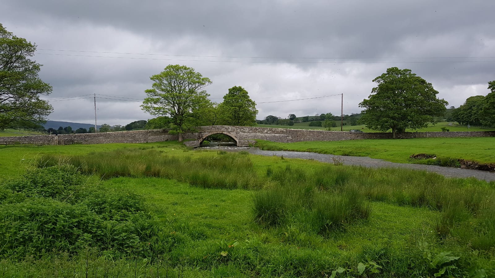
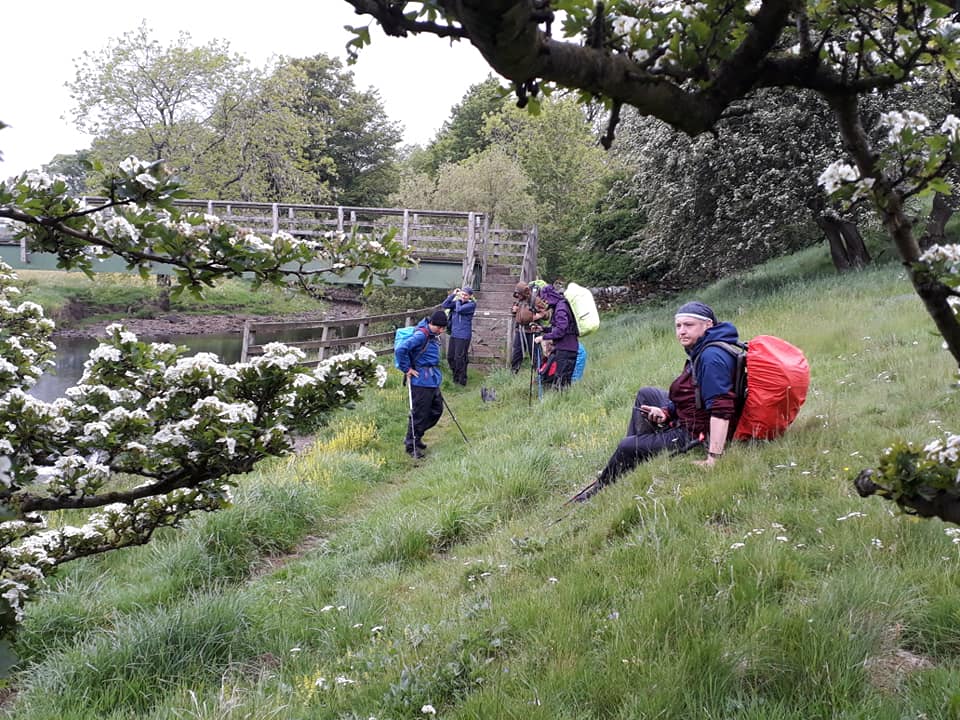
We passed under the double arched bridge at East Marton and came to a canal boat selling ice creams. It is not every day you see one of these so we had to stop and make use of it.
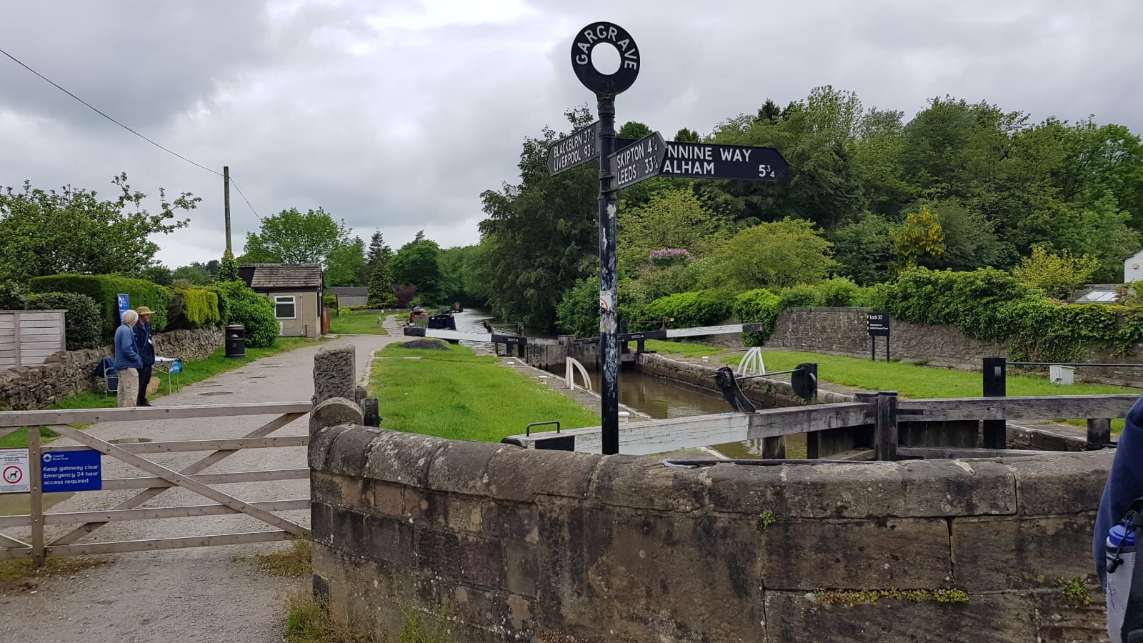
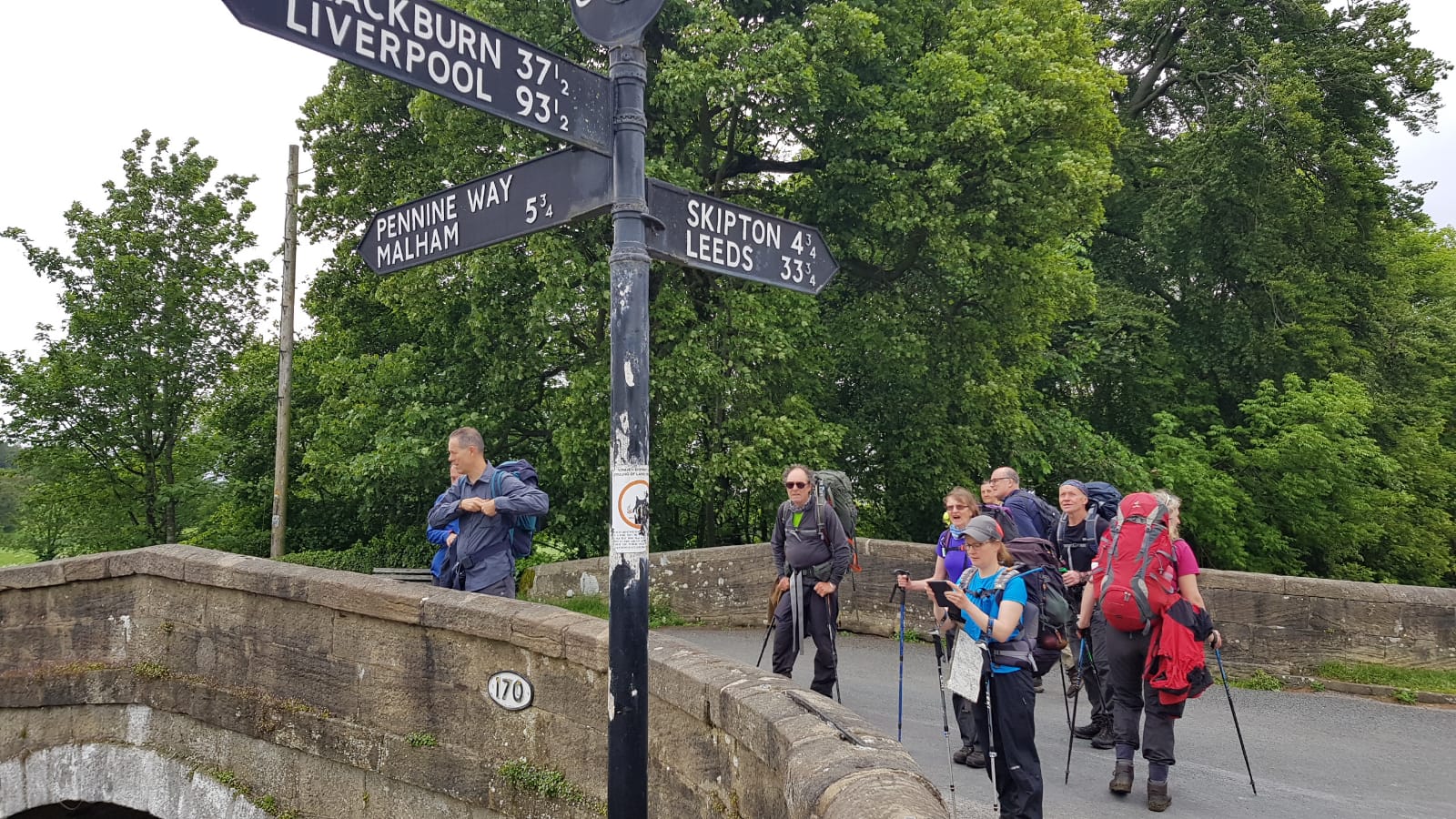
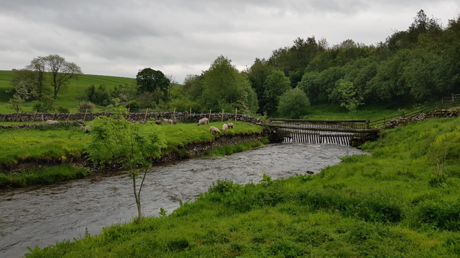
A few more grassy hills, little streams and fields of cows and sheep later, we arrived at Gargrave. We met up with Damon here.
A few more grassy hills, little streams and fields of cows and sheep later, we arrived at the River Aire. We paused here for our sandwiches by the river.
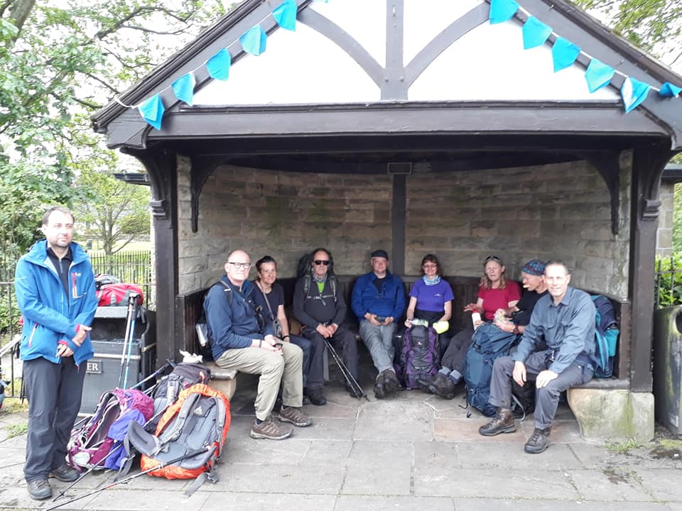
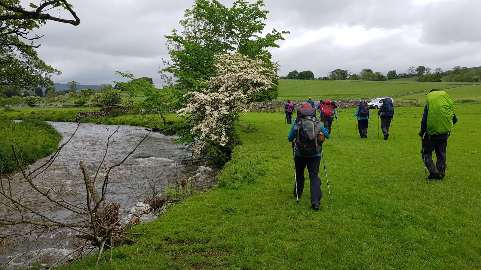
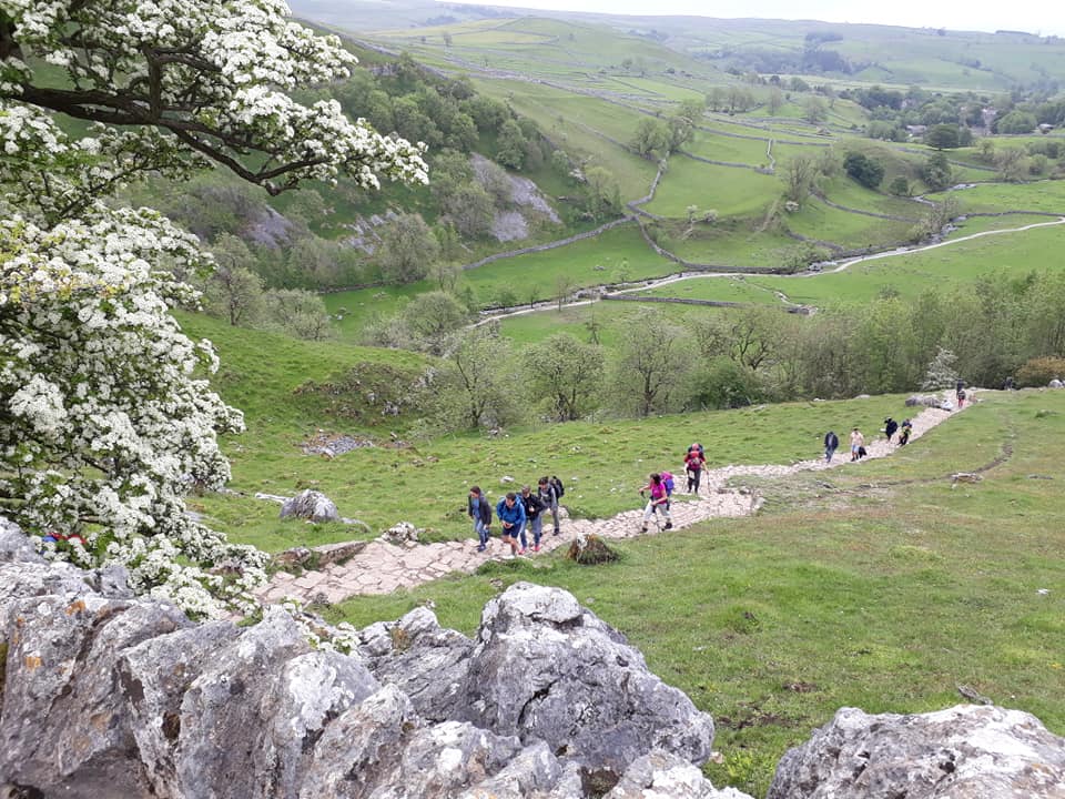
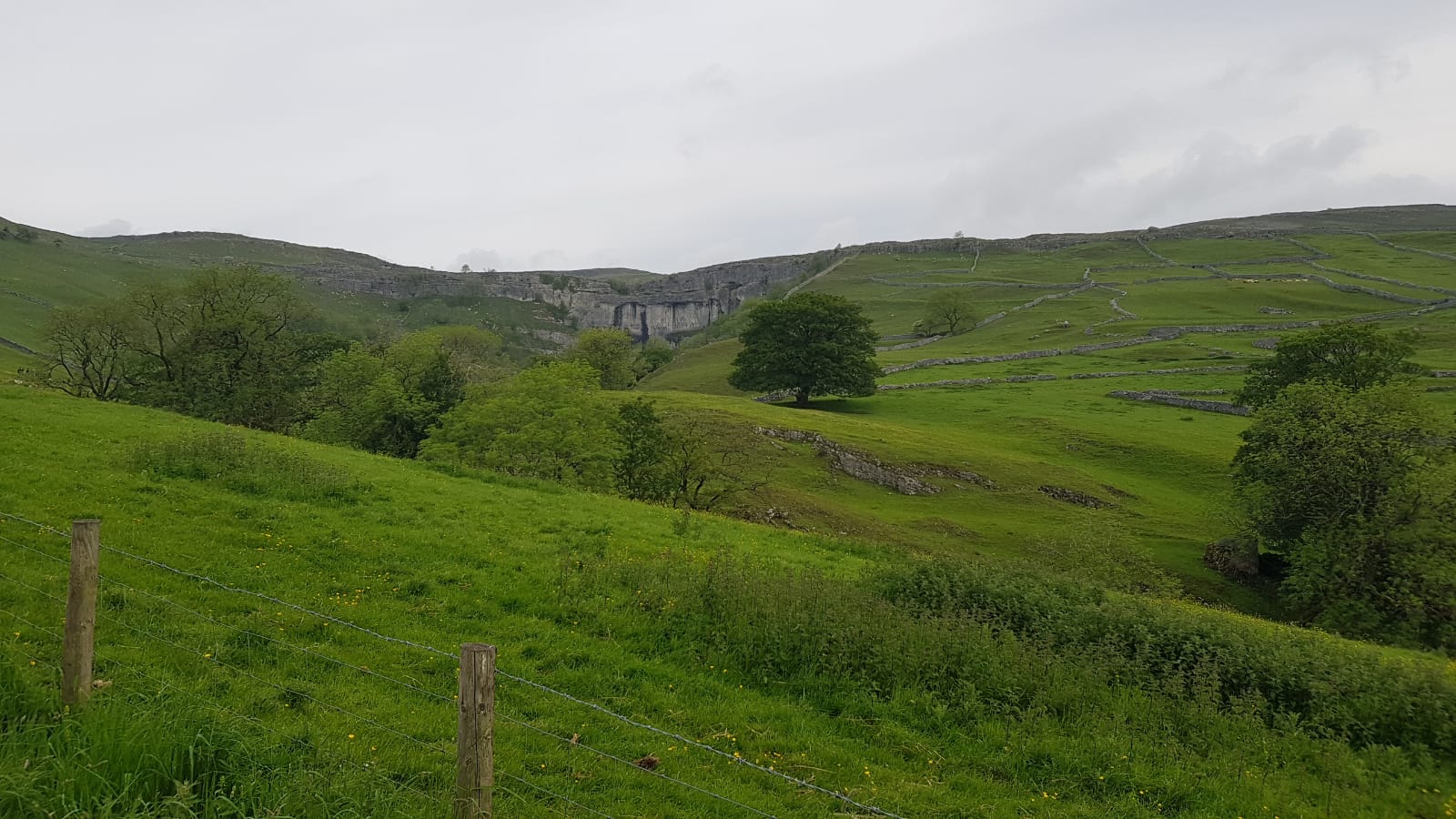
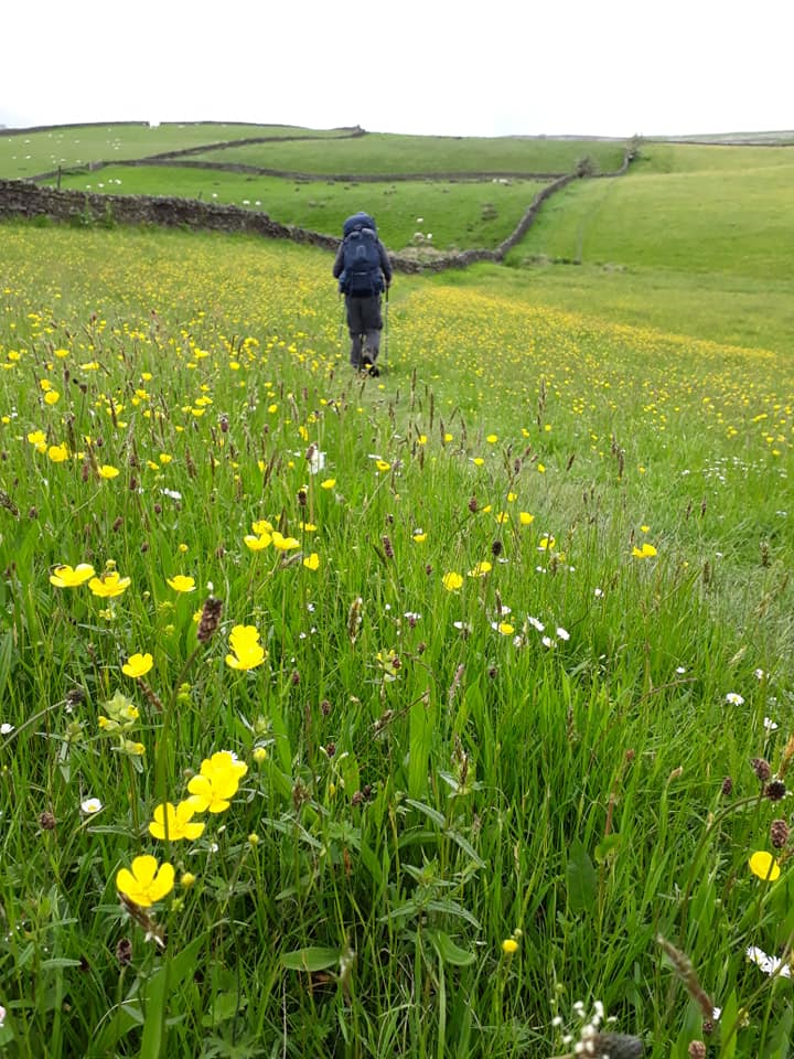
The path then followed along the river’s edge. Flowers were abundant and the air was filled with the smell of hawthorn. At Airton, we took a break at the Town End Farm tearoom. The last part of the route took us up a very steep hill which provided fantastic views of Malham Cove just a short distance away.
Our accommodation for the night was Malham YHA.
DAY SEVEN – Saturday 1st June
Malham to Horton In Ribblesdale – 15 Miles
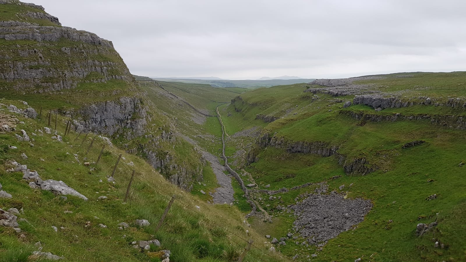
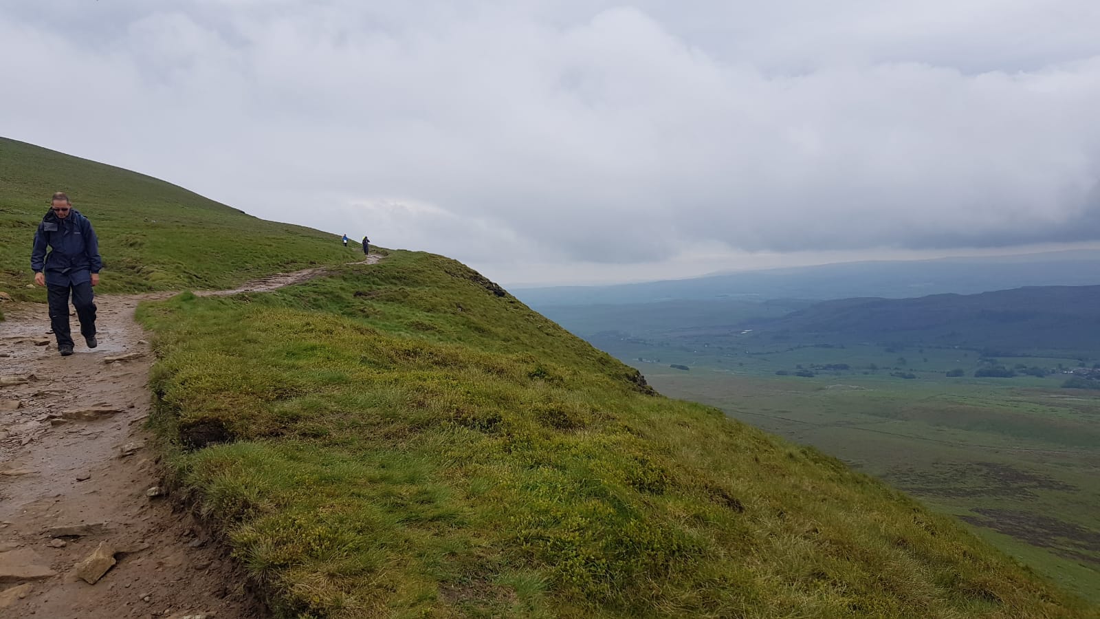
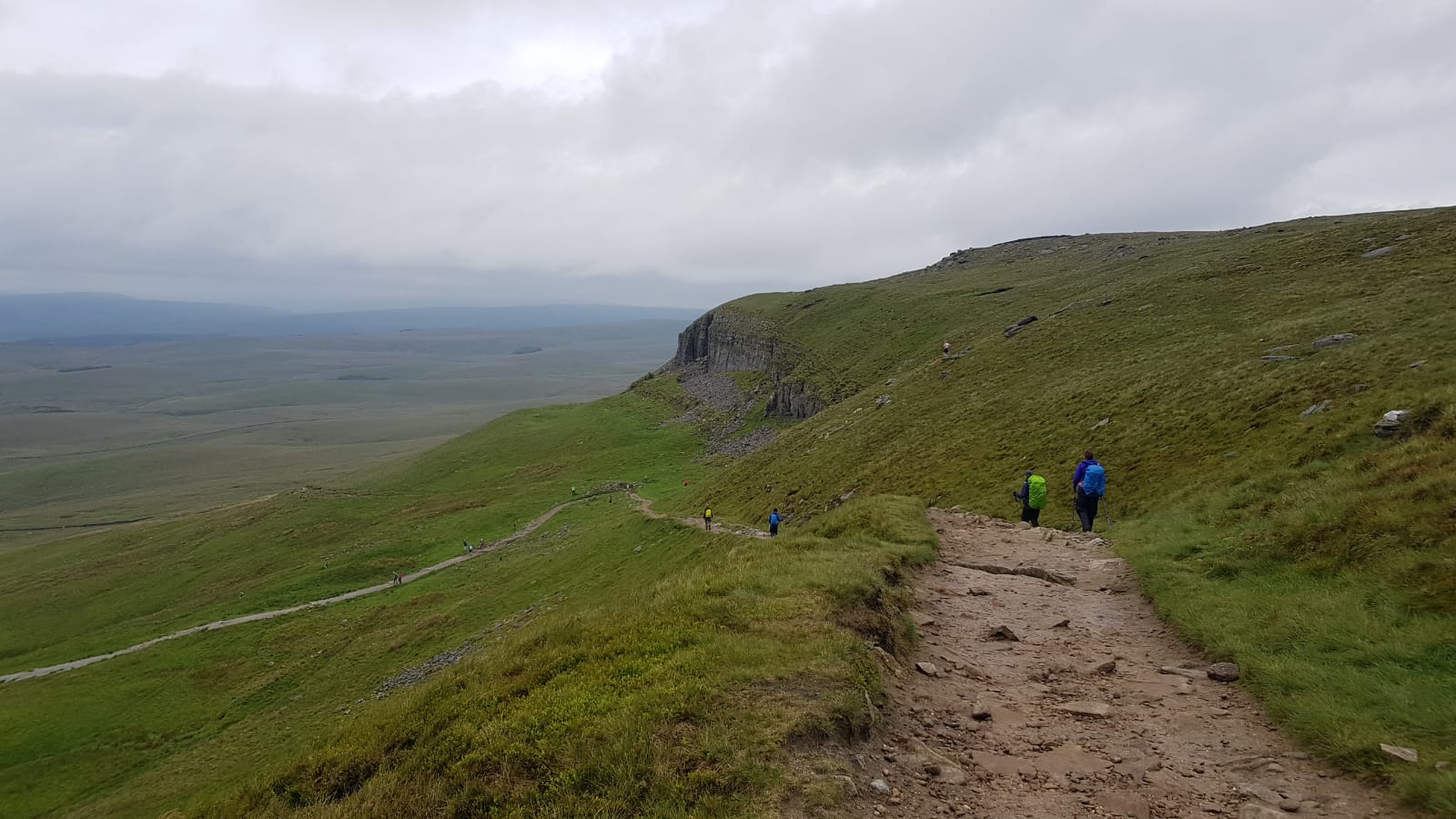
The path climbs steps on the west side of Malham Cove, traverses the limestone pavement at the top of the cove, and continues north to Malham Tarn. The trail then crosses a shoulder of Fountains Fell, crosses the head of Silverdale and ascends the nose of Pen-y-Ghent in a very steep section. From the summit of Pen-y-Ghent the Pennine Way descends to the village of Horton in Ribblesdale
Story contributed by Pete E.; pics by Pete and Rachael
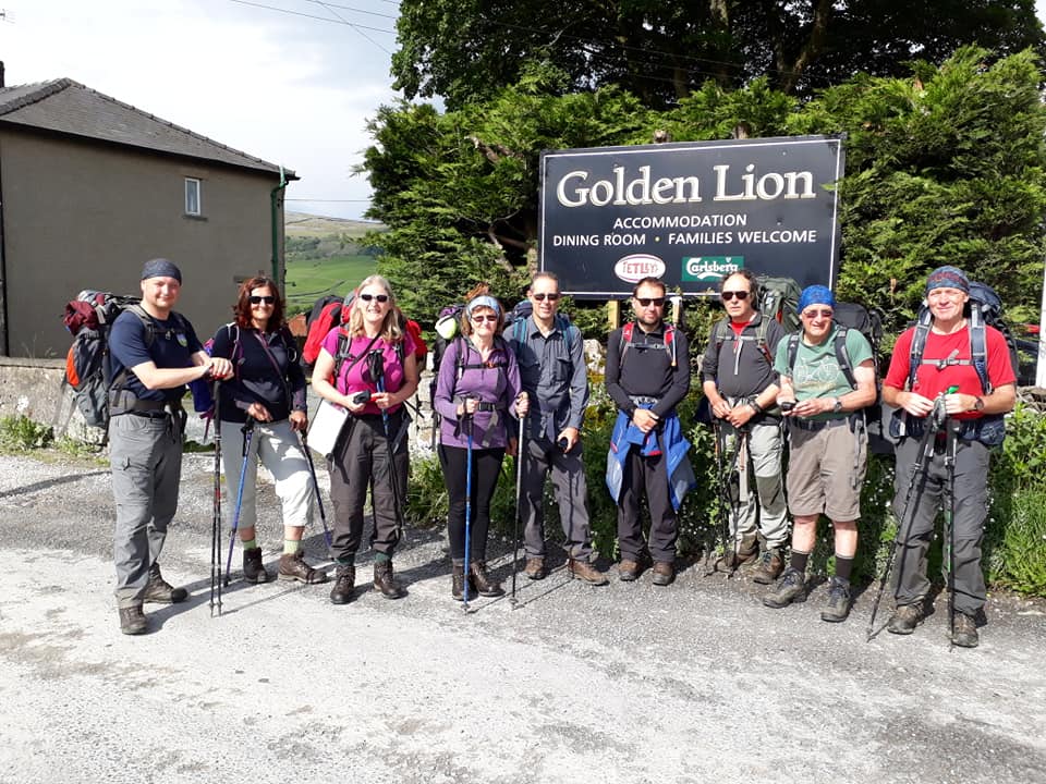
Albert has been suffering over the past few days with a calf injury and decided to take advantage of Damon’s nearby car – he got a lift up to Malham Tarn, ahead of us and then proceeded alone to meet us at our evening’s accommodation – The Golden Lion pub at Horton-in-Ribblesdale. This gave him the chance to go at his own, leisurely pace, the option of omitting the tough final ascent of Pen-y-Ghent and, arguably, to avoid the chatter of fellow group members…
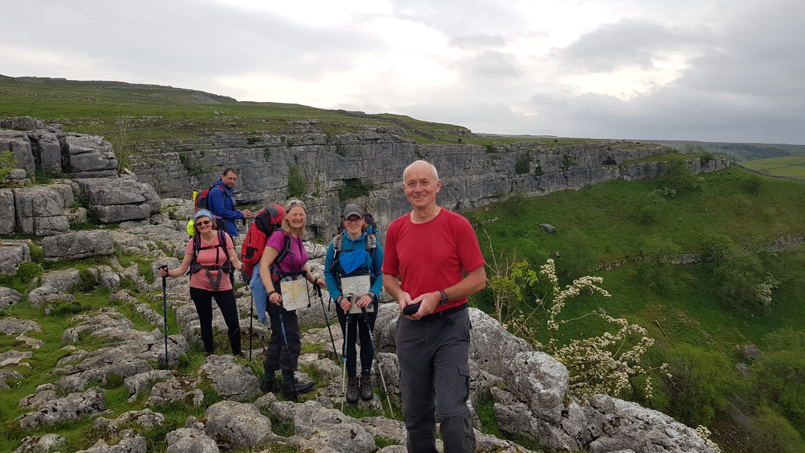
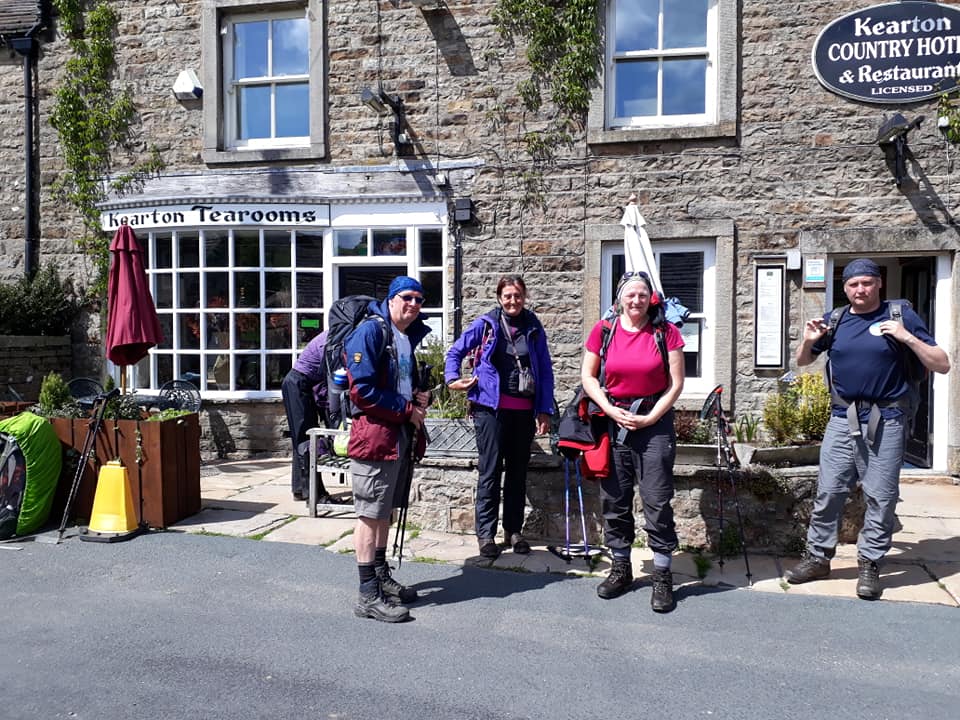
The rest of us were ready to go as Damon returned, and after our obligatory starting photo outside the hostel, we headed towards Malham Cove. We paused briefly to have a look around Town End Barn, owned by the National Trust and open for visitors. As well as some information boards, the barn appeared to be the home of several birds who weren’t massively happy about our disturbance.
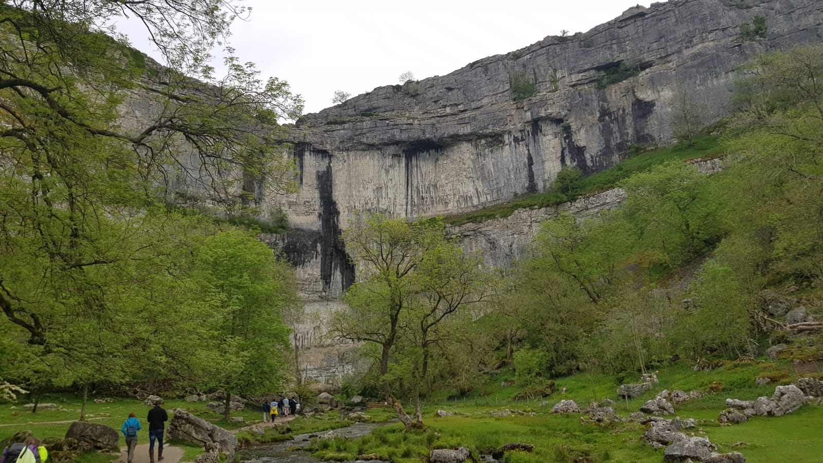
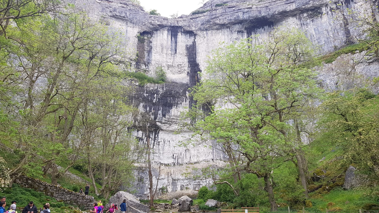
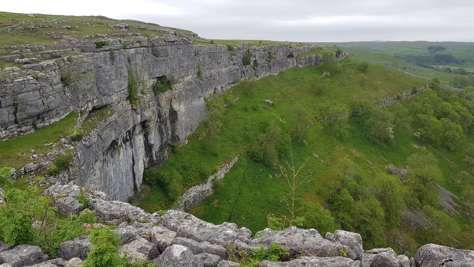
We pushed on to the Cove and we were immediately mingling with plenty of other day hikers in groups and small numbers, all ready to get their first glimpse of it. It’s a delightfully pleasant walk along the stream to reach it and I always enjoy as it gradually hoves into view. We took some pictures but didn’t stay long – with many miles still to cover today, we began our ascent to the limestone pavement.
I’ve visited here several times in the past, with my dad as a child and, later, on other trips with the outdoor group. It’s always fun to galumph across the pavement, especially with the added fun of a massive backpack that adds to the danger. I called my dad to say hello and update on progress as we reached the top, and he was chuffed to be able to reveal to everyone that the stones we were standing on were called Clints and the gaps between them Grikes (some already knew this but I didn’t mention that!).
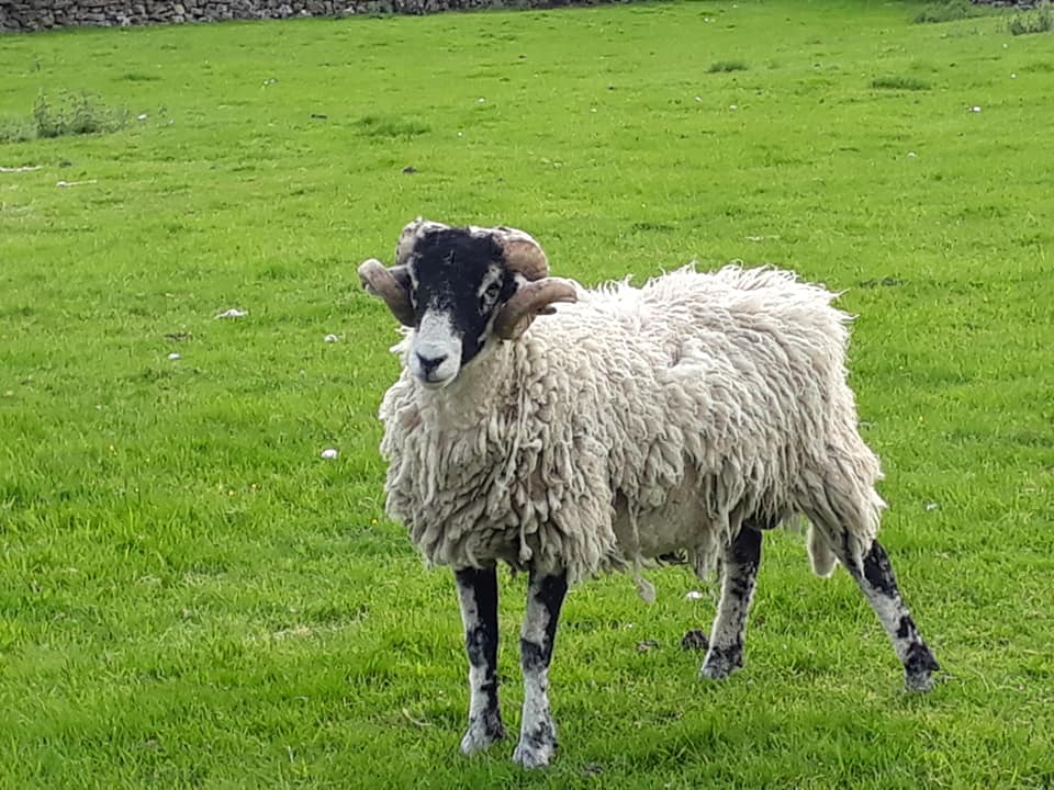
After we’d recovered from our first climb, we pushed on to Malham Tarn. The landscape was rocky, but soon gave way to fields punctuated by large stones. As we went on, we came across more and more sheep and farmland. This led to our first excitement of the day, just as we reached the road before the Tarn, we found a single plaintively bleating sheep stranded away from his friends. We watched a few mins and eventually decided to try to help by opening the only gate stopping them reuniting. A lot of hassle later and the sheep, of course, decided that rather than use the gate, it would jump over the barbed wire fence. D’oh.
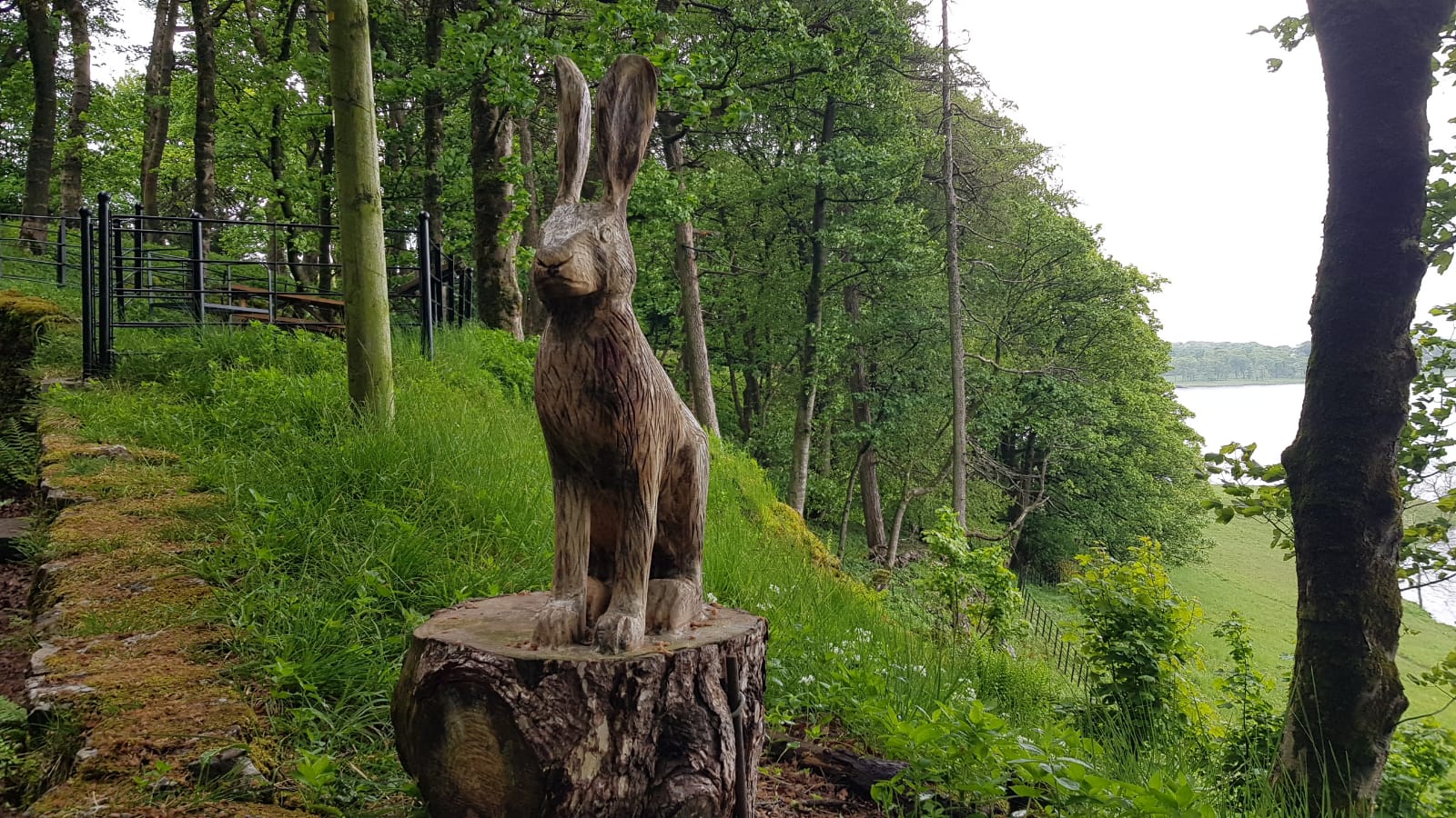
We gave up and moved on, past the Tarn and up to the Field Studies Centre, where a large group of youngsters appeared to be studying some parts of the countryside. We also enjoyed several wooden carvings of animals, including an owl and a hare, dotted along the path as we continued.
We struck out across Malham Moor. As we climbed higher, it became apparent that the rain clouds we had been outrunning were not going anywhere. We layered up with waterproofs before the next rise and, swiftly after, the rain set in. Fortunately, the temperature remained warm and so spirits were kept up too. It made lunch harder – we tried to grab a sandwich as we rejoined the road on the other side after descending near Fountains Fell, but it was too wet to enjoy with any great gusto.
Things started to dry out as we turned our attention to the final big challenge of the day – Pen-y-Ghent, almost as if the weather felt sorry for us and thought we had had enough.
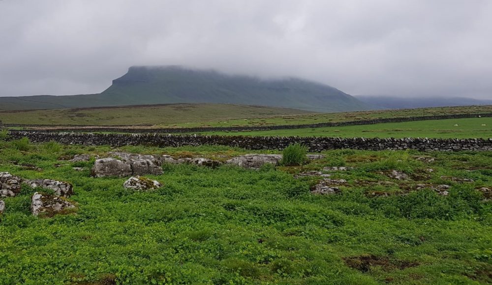
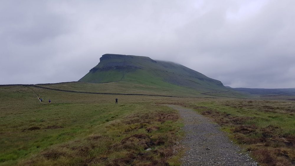
We strode on and step by step made our way up the incredibly steep stone steps which eventually culminated in a massive scary scramble up to the final path to the summit.
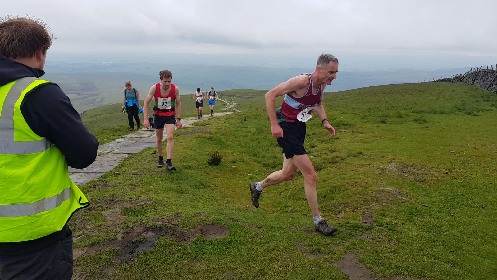
No sooner had we reached it, than we were suddenly overtaken by hordes of runners all significantly faster than we were!It turns out that we found ourselves in the middle of an organised 10k fell run and all the participants had to race to the summit before running back down to the race point. This made us feel exhausted just watching so we trudged down the other side, a much gentler descent, alongside all the other hikers who were going at a more sedate pace.

We finally arrived at The Golden Lion, our base for the evening where all of us, bar one, will be sleeping in a single dormitory. We’re about to learn a lot more about each other before the night is over, I suspect!
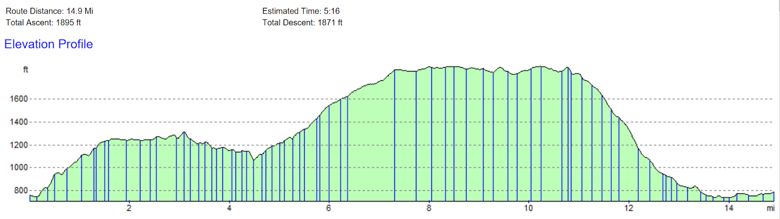
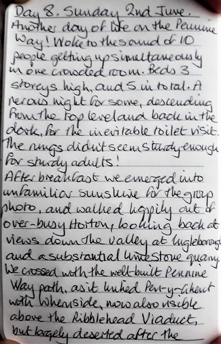
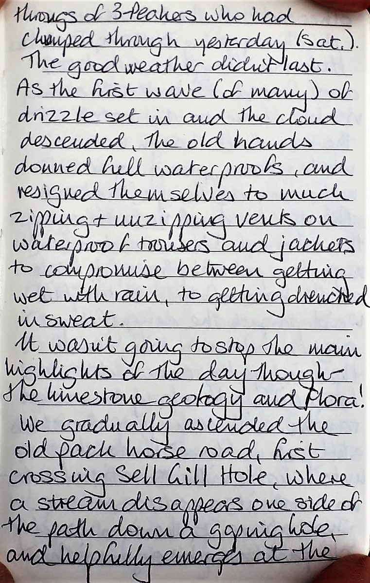
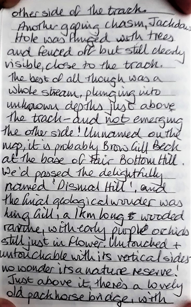
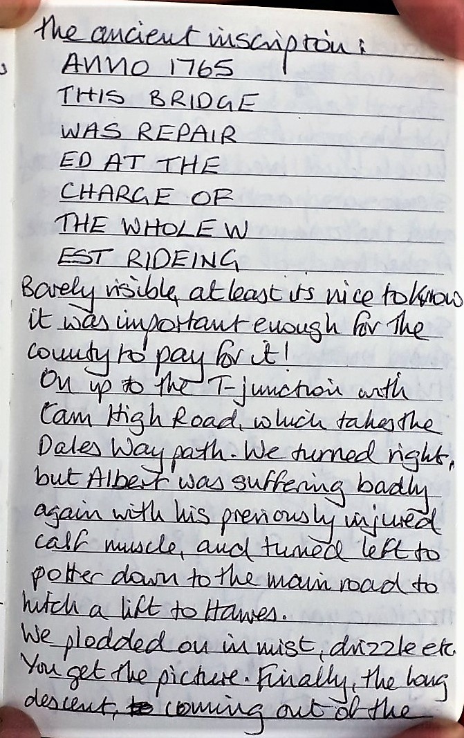
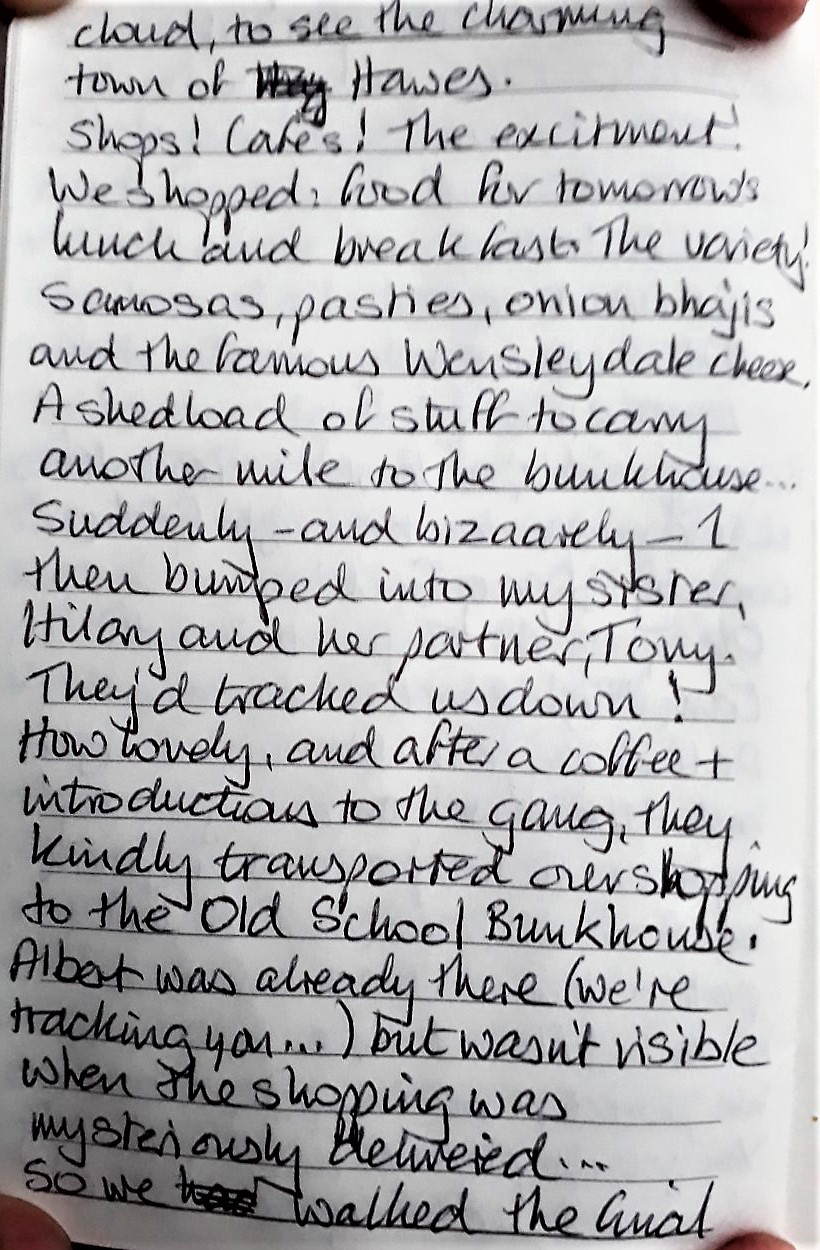
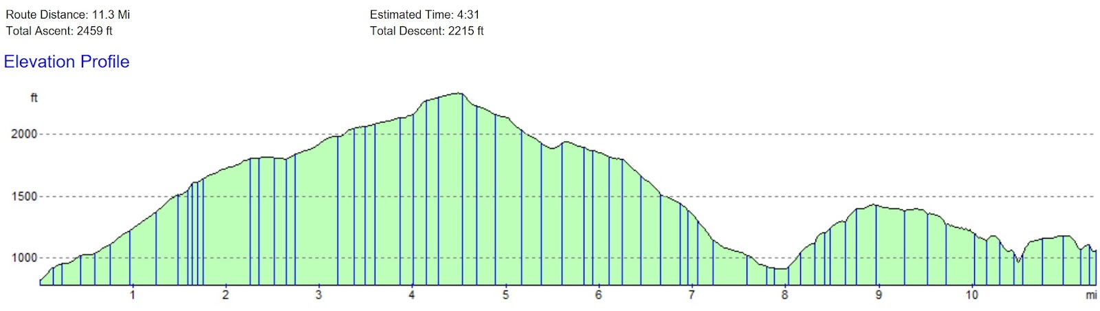
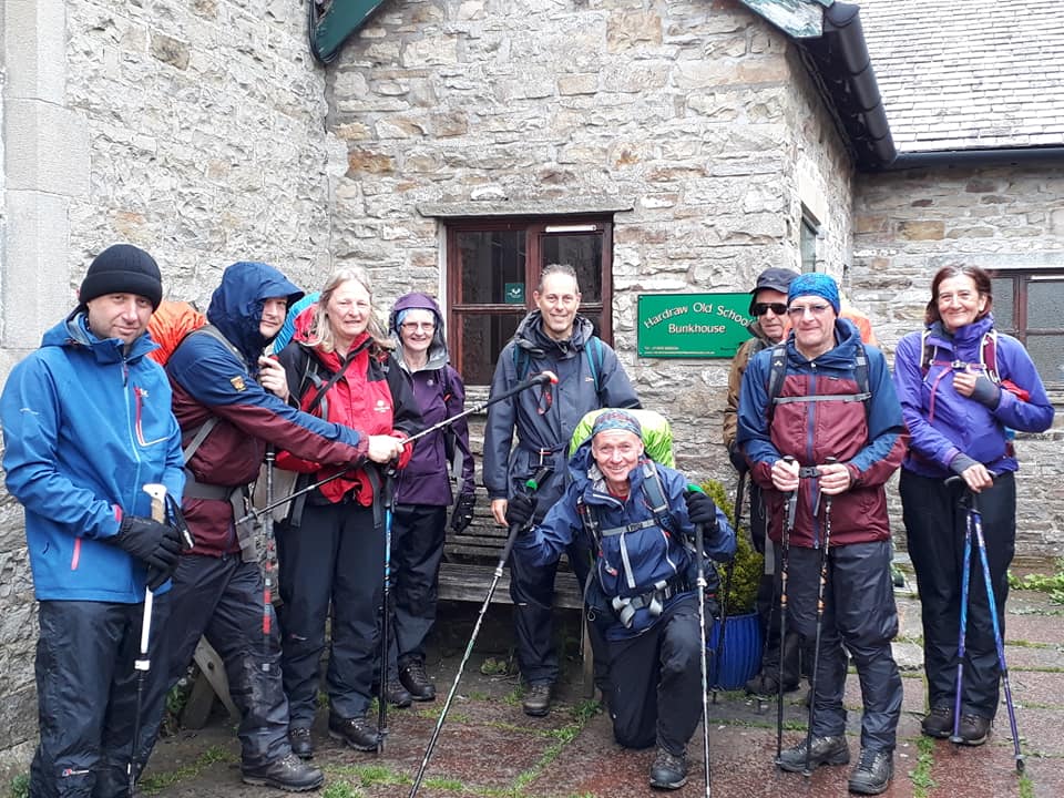
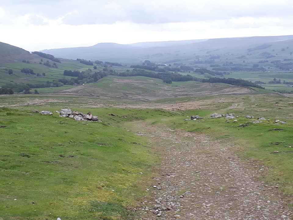
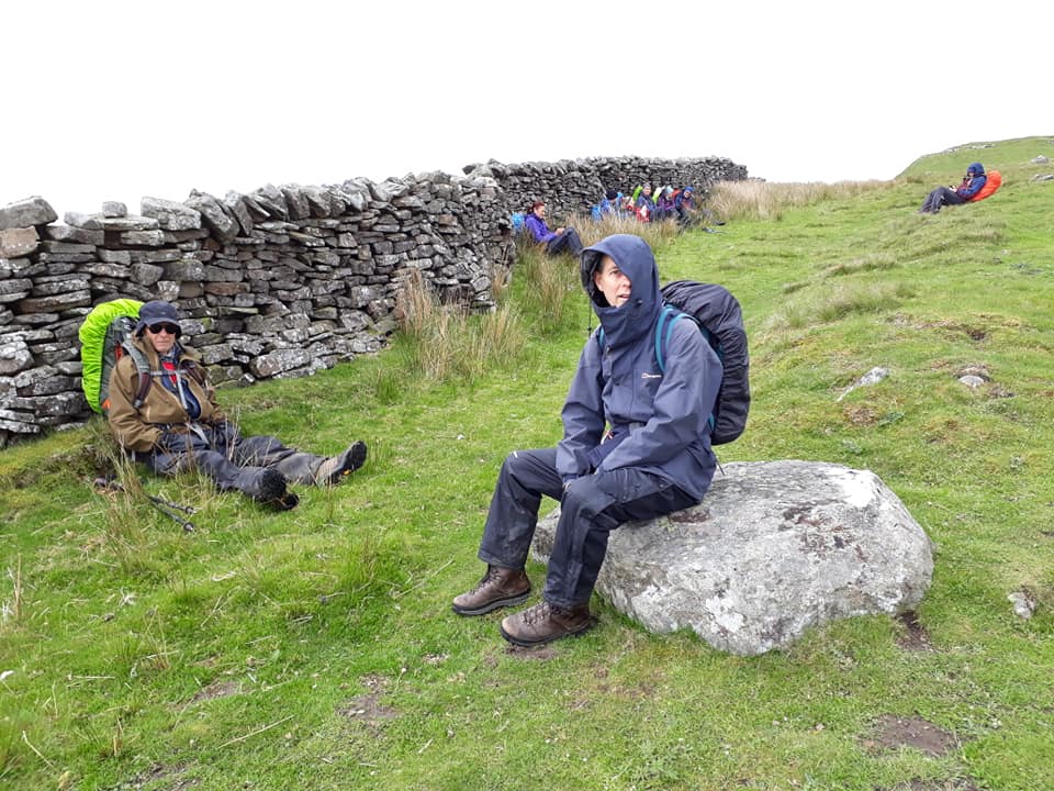
DAY EIGHT – Sunday 2nd June
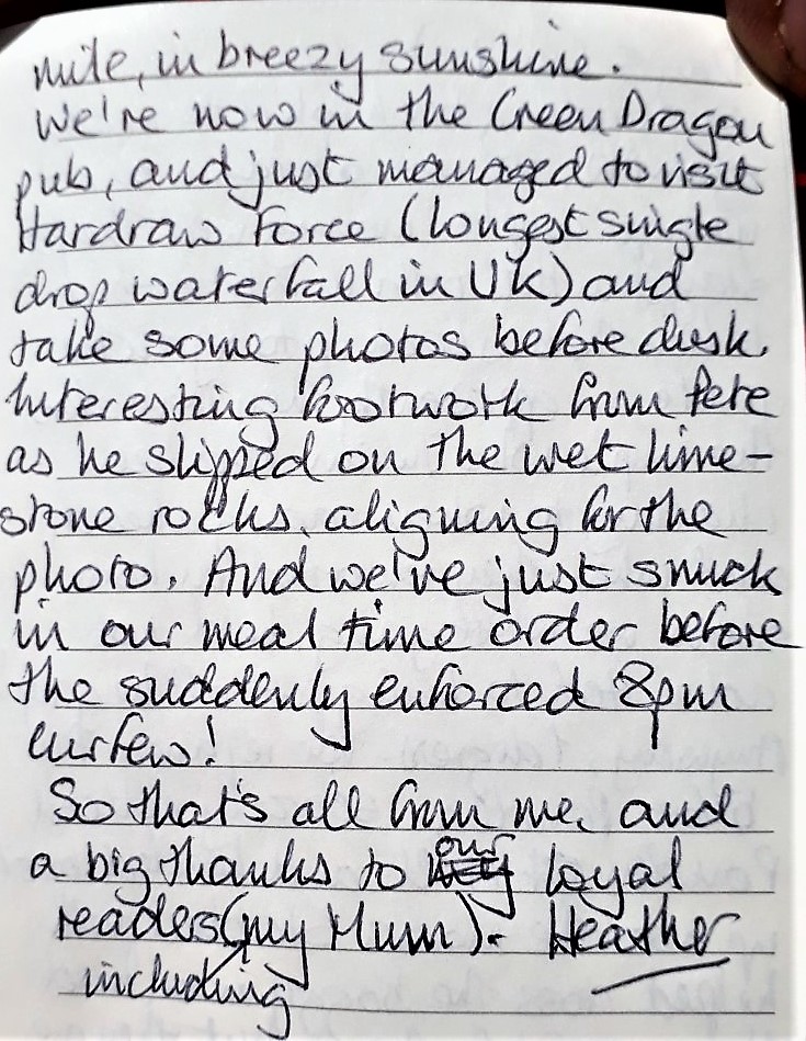
Horton-in-Ribblesdale to Hardraw – 15 Miles
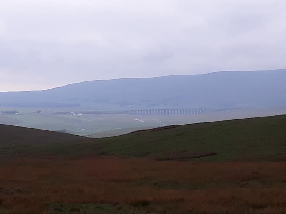
The Pennine Way then heads up Ribblesdale along the old Settle–Langstrothdale packhorse road. It passes the eastern end of Ling Gill and climbs Cam Fell, where it follows the line of a Roman road, shared with the Dales Way. The trail then passes Dodd Fell Hill and follows a ridge between Widdale and Sleddale, before descending into Wensleydale to reach Hawes and across the valley to Hardraw
Pics taken by Rachael & Dave T-F
[What follows is Heather’s report – which makes for lively reading. And, as the editor is pressed for time, and feels that this is pretty clear, it has not been transcribed – which, it is felt, adds gritty immediacy. My story and I’m sticking to it – ed.]


Day Nine – Monday 3rd June
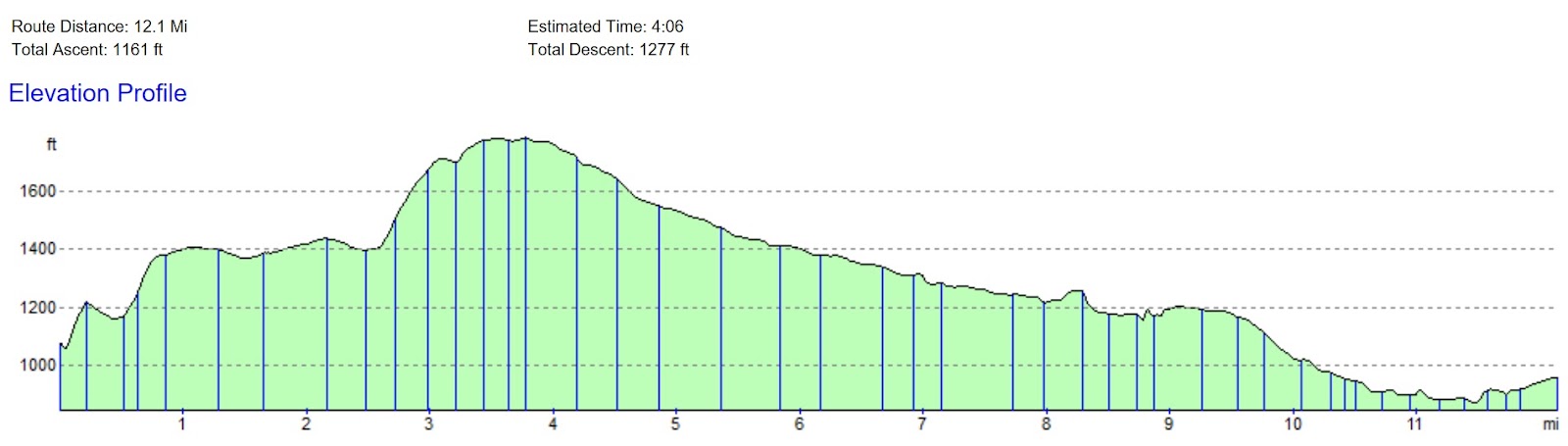
Hardraw – Keld – 12 Miles
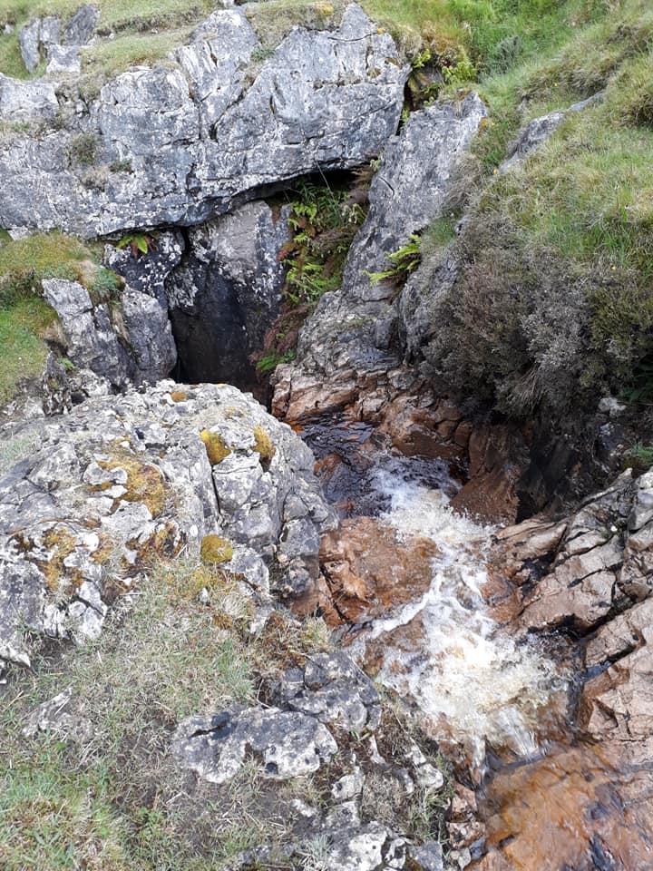
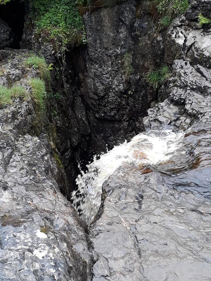
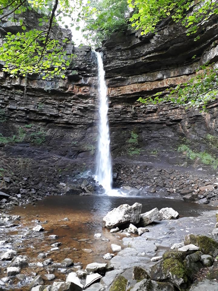
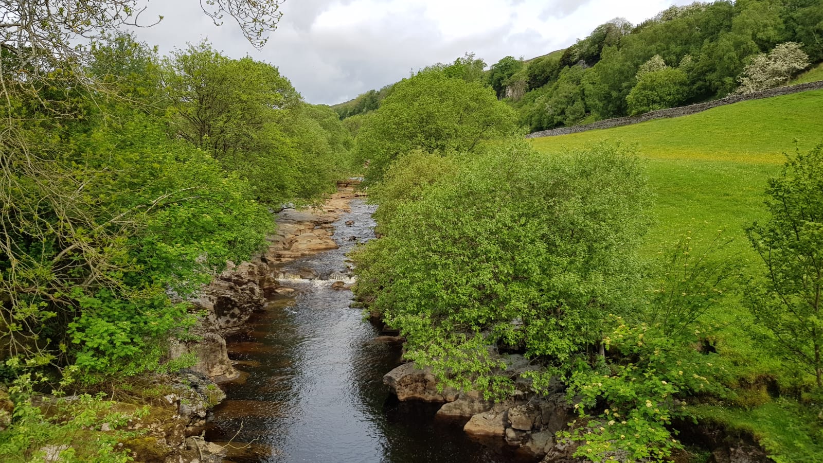
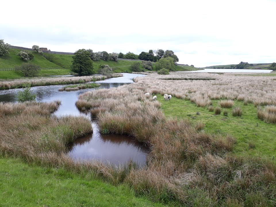
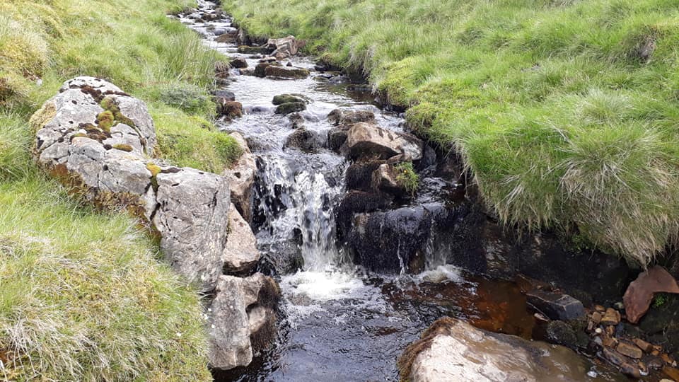
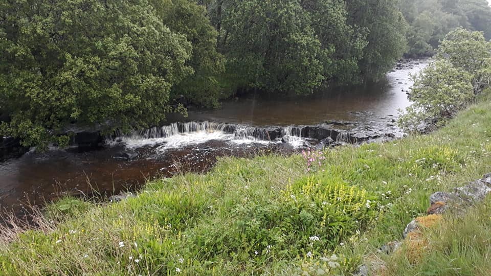
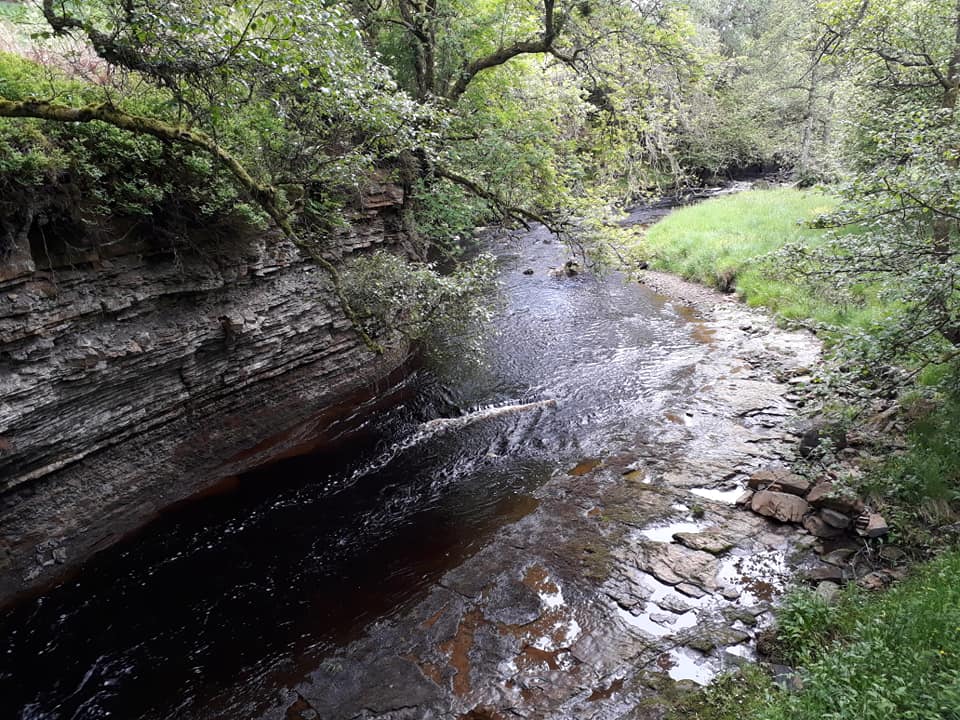
From Hardraw there is a 5 mile ascent of Great Shunner Fell. From the summit of the fell the trail descends to upper Swaledale and the village of Thwaite. It then crosses the side of Kisdon, with good views down Swaledale, passes Kisdon Force, a waterfall on the River Swale, and reaches the village of Keld.
Pics contributed by Pete and Rachael, report by David T-F
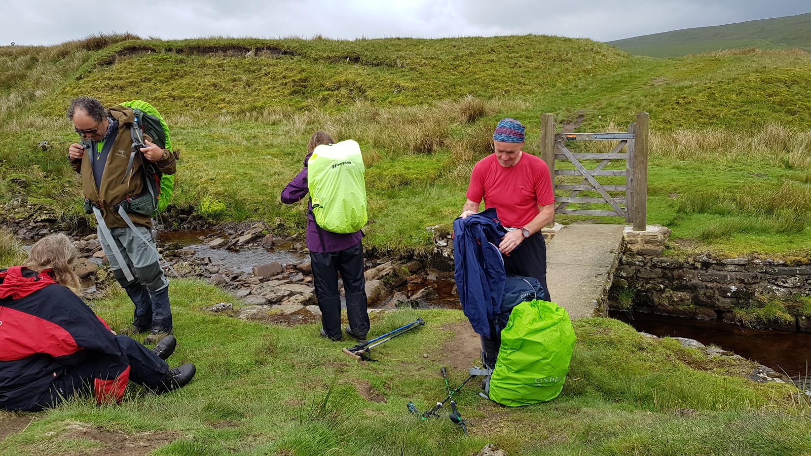
The day started like most with a steep haul up from our ‘digs’ back to the moorland where we would stop to put on our waterproofs – the 5-mile climb up Great Shunner Fell had us being constantly buffeted by strong winds. On reaching the top we stopped and removed our waterproofs and buried someone who had been limping; Rachael said a few words while an unseemly battle started over the deceased’s packed lunch. Eventually decorum was restored and crossed walking poles marked the fallen.
The next stretch, whilst looking forlorn, bore a sign stating it had been improved in order to make a more suitable habitat for Black Grouse. At this point we stopped to put our waterproofs back on and continued. A little further on whilst taking our waterproofs off again we were mobbed by a Golden Plover trying to distract us from his nesting mate. Dropping down off the moor we lunched on a grassy bank whilst the sun fought its way through the cloud.
As we entered the small stone village of Thwaite we spotted a Tea Room and a store selling waterproof clothing; we were in our ‘element’.
At this juncture, thinking a gentle stroll down the valley would bring us to our destination, I was most put out to find we had to traverse a narrow scar that led up the hillside that found us looking into a hidden valley with the village of Muker (twinned with Brigadoon) at its head. After removing our waterproofs as we were overheating on the ascent, we traversed the north side of the valley which was still covered in primroses and bluebells.
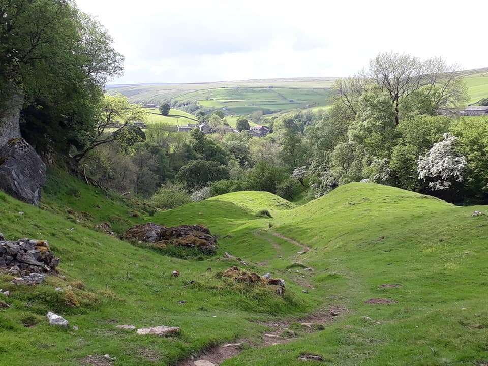
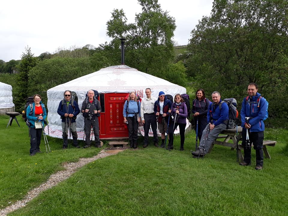
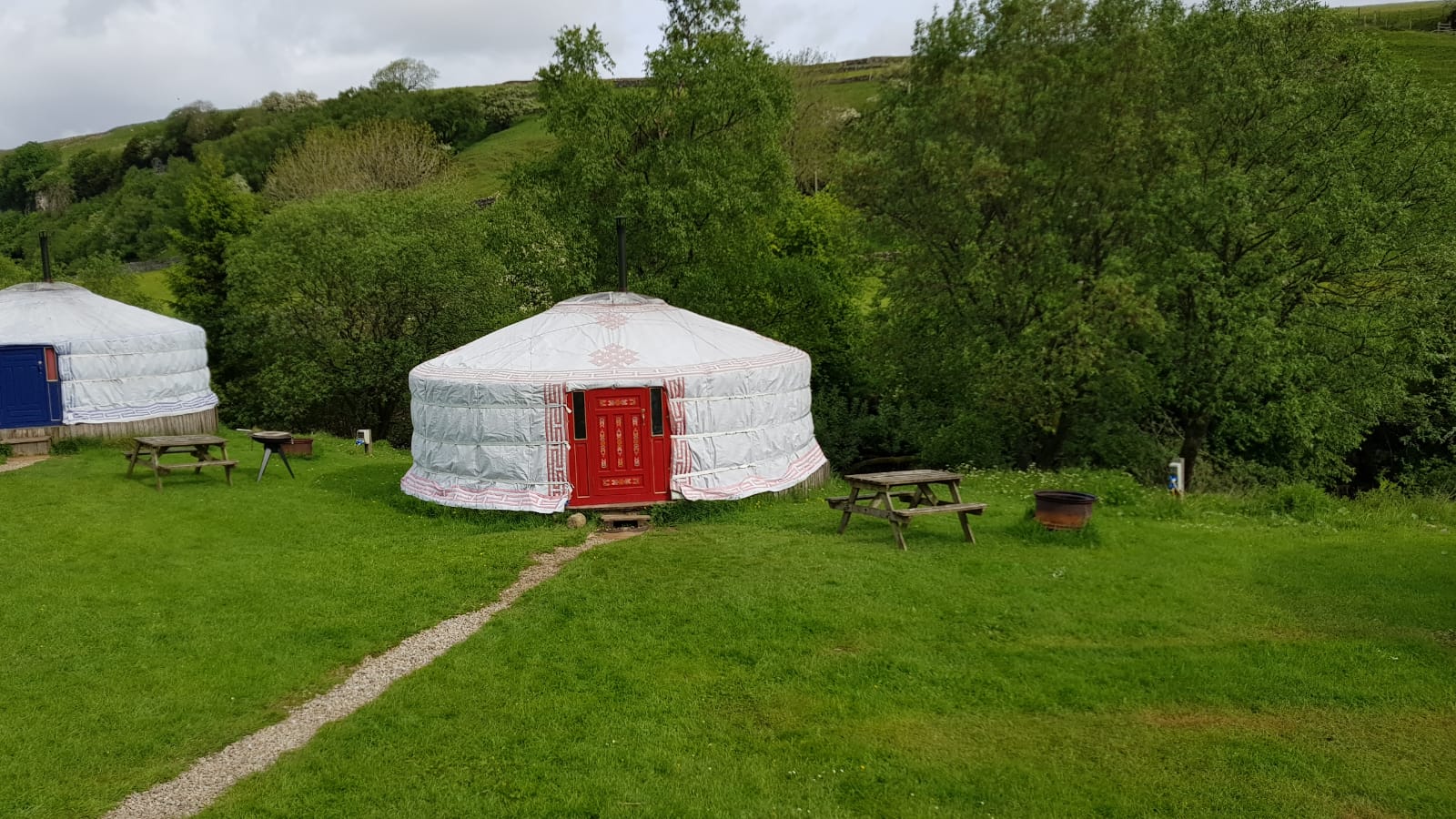
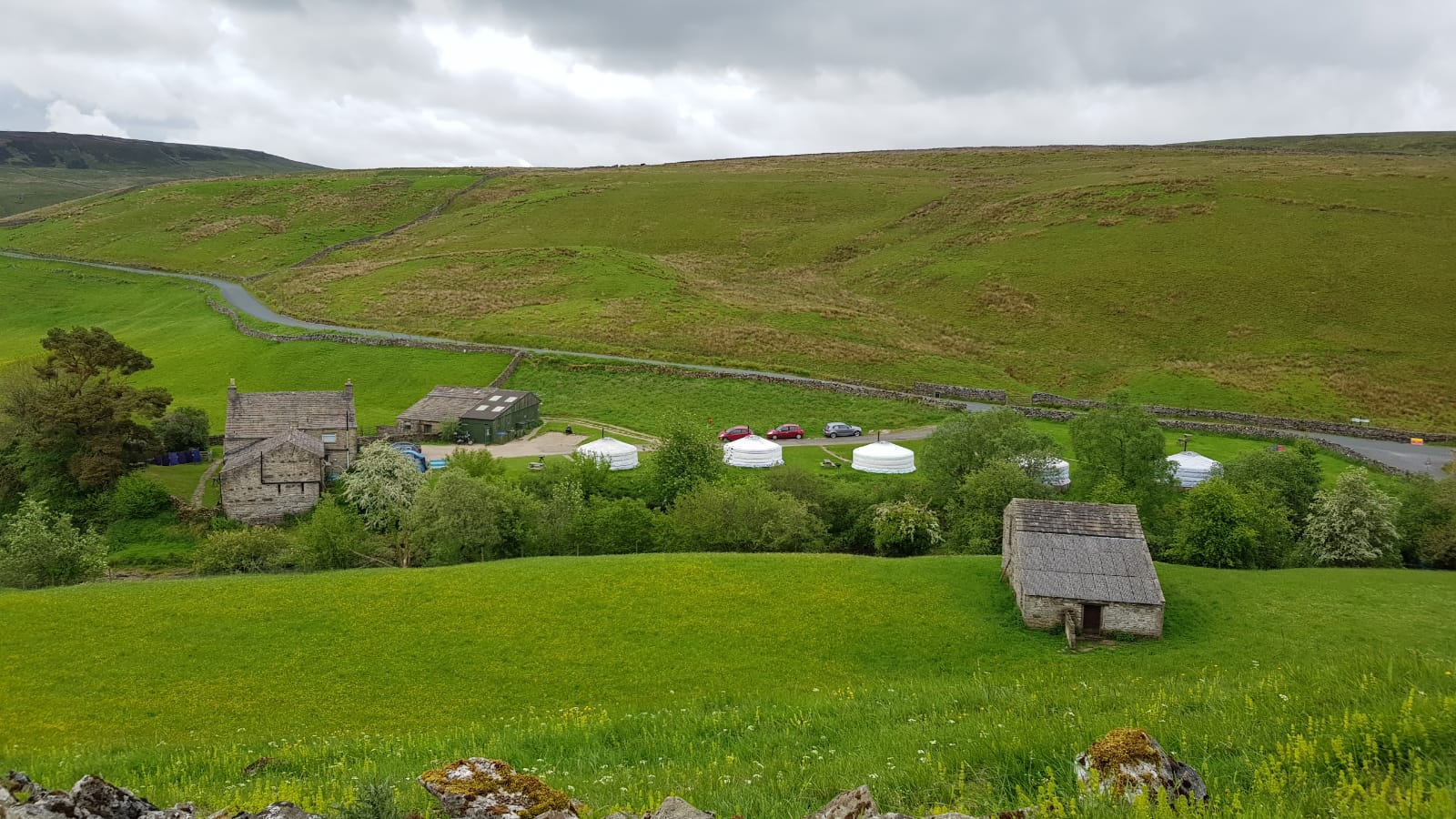
Dropping down in to Keld we spied the Yurts in which we were to stay that night and soon we were in the hot tub drinking baskets of bottled ales while our laundry was being done and our waterproofs were being reproofed. [There is a rather frightening pic of this on the group’s private Facebook page but the editor decided, in the interests of keeping the Newsletter content family-friendly, to leave it there. – ed.]
Day Ten – Tuesday, 4th June
Keld to Bowes – 13 Miles
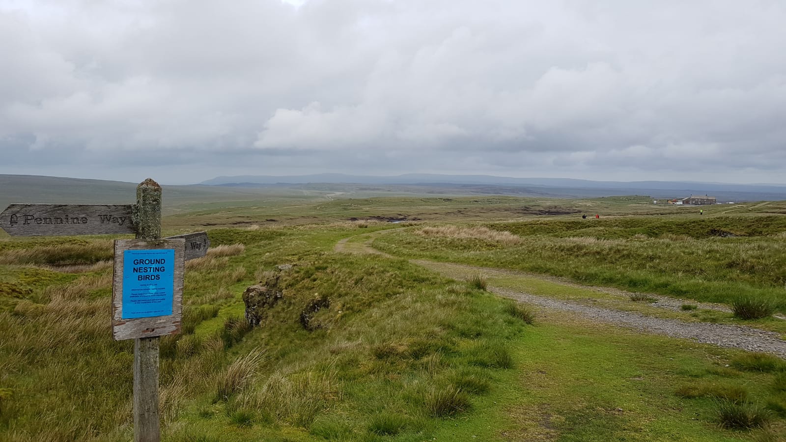
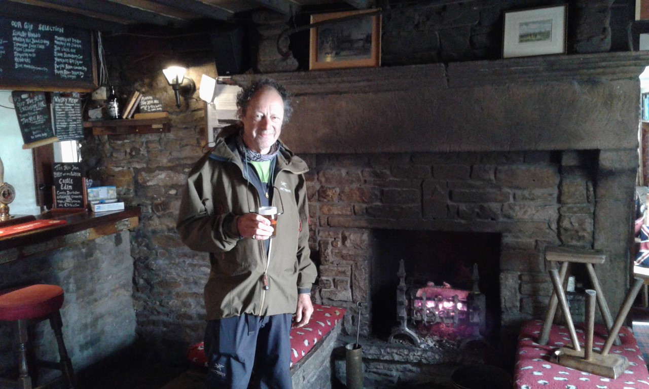
From Keld the path crosses the route of the Coast to Coast Walk, then ascends a side valley known as Stones Dale to reach Tan Hill Inn. After a brief pause here we will leave the Yorkshire Dales and cross the open moorland to Bowes.
 Pics contributed by Pete, Rachael et al., report by Paul D.

It was really difficult to drag everyone away from the comfort of their yurts this morning, especially after last night’s sumptuous meal, drinks and the hot tub experience. A couple of people were seen nursing sore heads over breakfast but in their defence this was due to the low height of the yurt door frames and not the Black Sheep or Golden Sheep beer consumed the night before.
Anyway Rachael reluctantly called us to order and we set off uphill along the valley and back towards the lovely village of Keld to rejoin the official Pennine Way path. The black clouds were gathering as forecast and it was not too long before the first spots arrived and raingear was donned. However, within minutes it decided to relent and then we were too hot…. so off it came. It proved to be on and off like this all day but at least it was mainly drier than anticipated.
We ascended out of the village and up onto the higher open moorland, always accompanied by the sounds of lapwings, curlews and plovers not too far away. The peace was not to last long though as fast moving military jets rattled though.
Eventually we sighted our first destination of the day (Tan Hill pub) and this spurred us all on. Many had a pint of real ale, whilst quite understandably (as it was only just past 10.30) the more refined members of the group decided on cups of tea. One even had hot chocolate but this was promptly ruined by the dunking of salted crisps into it. Apparently this was a nice combination but I’m not so sure !
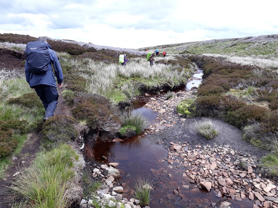
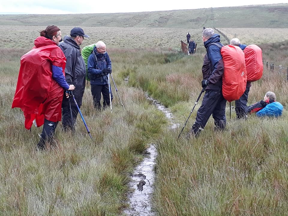
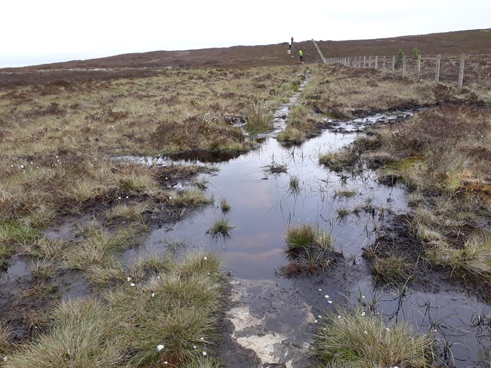
After being refuelled we descended the infamous boggy path (Sleightholme Moor) for 3 miles or so. Fortunately, this must have been one of its drier periods as most boots were not too wet by the end. At this point we had lunch and took in the views of the grouse butts, the moor and the ever-nearing A66 road!


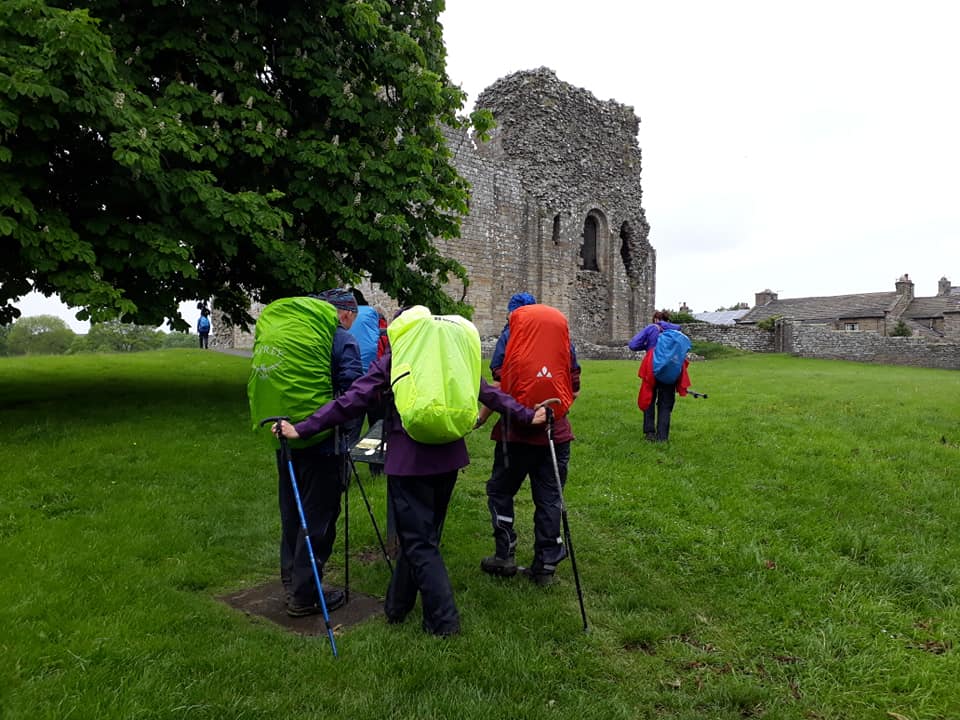
We then descended along a lovely valley with a peaty river, eventually reaching the single street village of Bowes where we admired the now ruined castle (from about 1170). Finally with the rain starting to come down more heavily we saw our night’s accommodation at the Ancient Unicorn.
Another great day and we are now almost at the half way point in terms of mileage. How exciting !!
Day Eleven – Wednesday 5th June
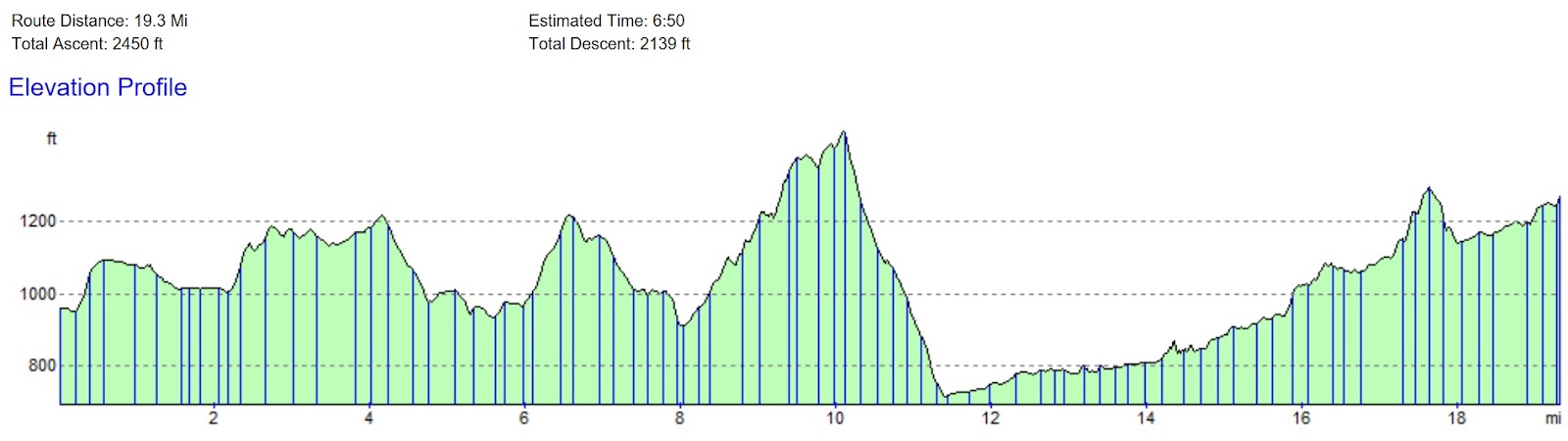
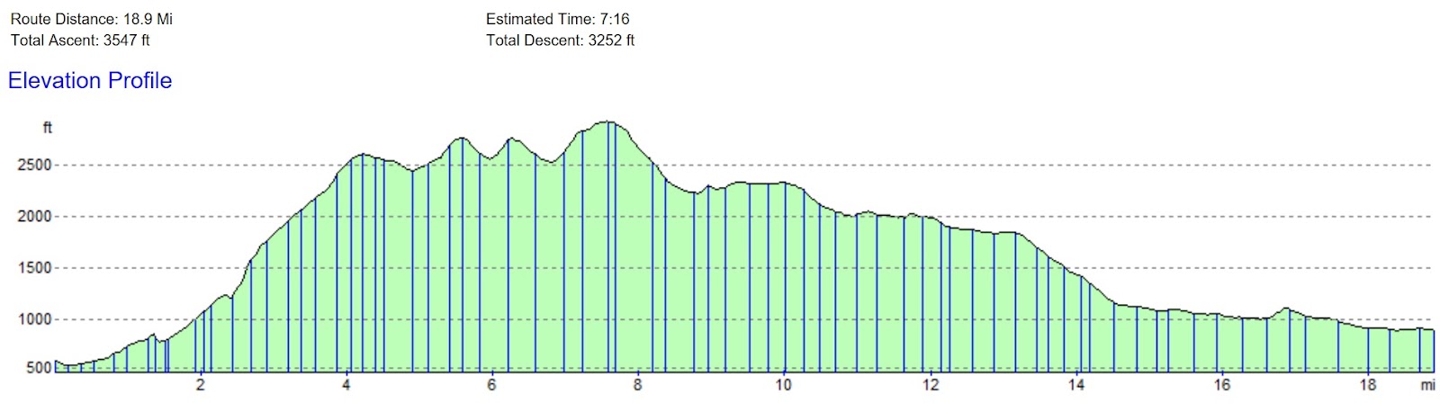
Bowes to Forest-in-Teesdale – 22 Miles
This short video of Damon’s really brings the walk alive! [ed.]
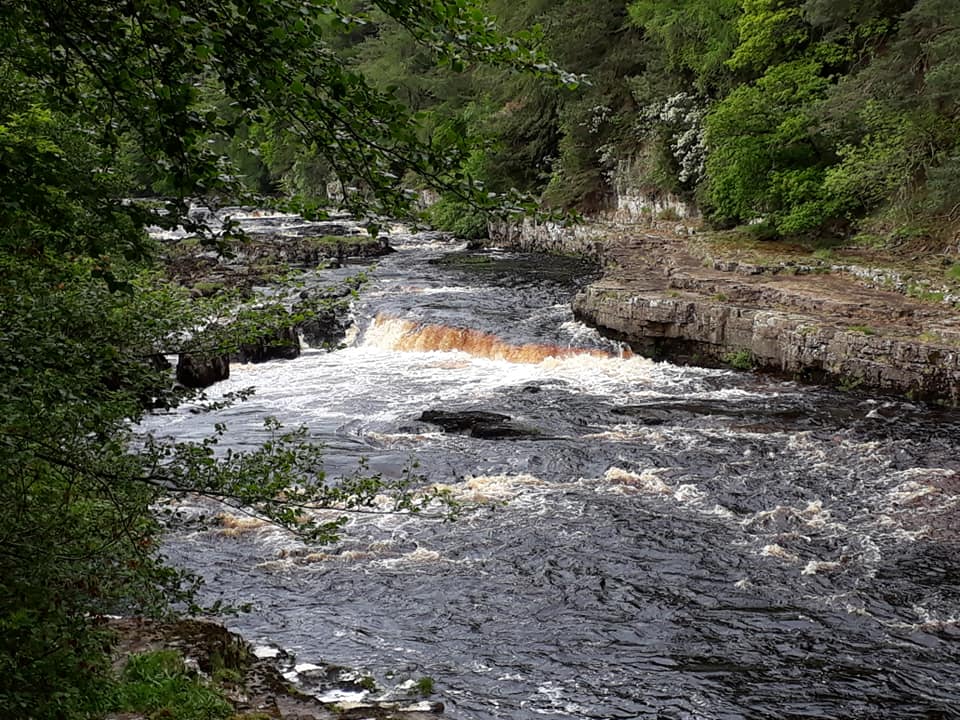
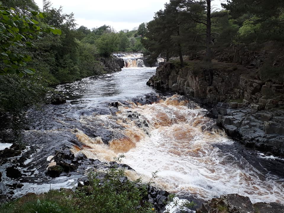
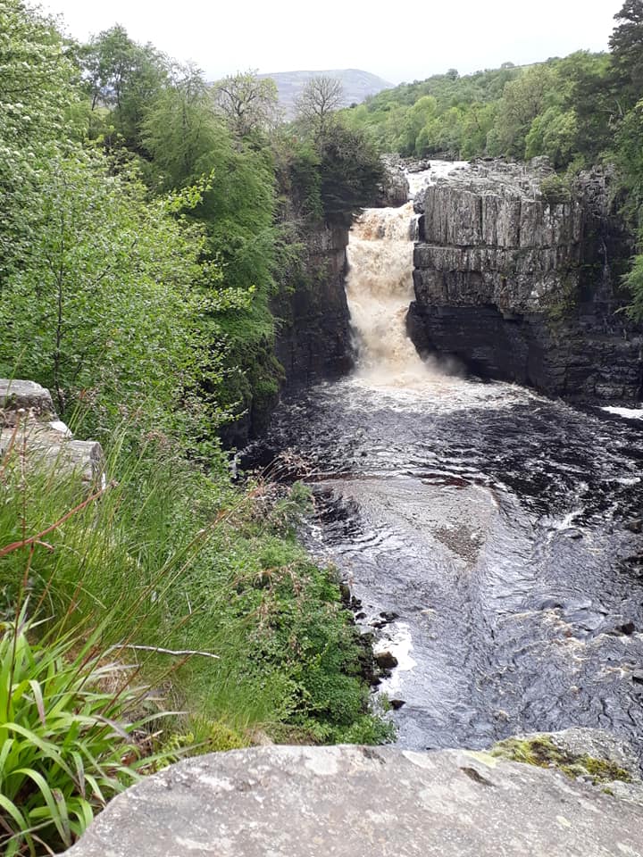
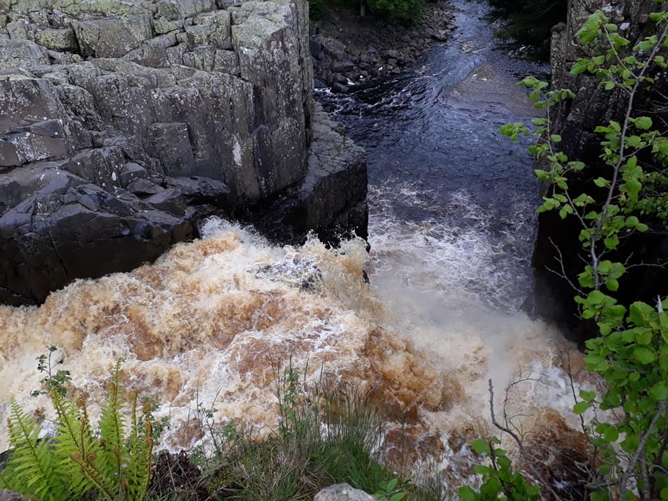
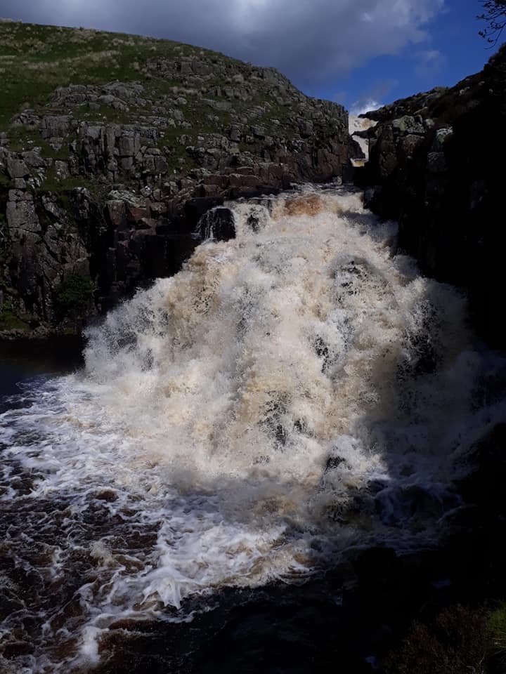
From Bowes the route heads across to Baldersdale. It then crosses Lunedale and descends to the small town of Middleton-in-Teesdale. From Middleton the path ascends Teesdale on the right bank of the River Tees, below the village of Holwick. It passes the impressive waterfalls of Low Force and High Force, and reaches the scattered settlement of Forest-in-Teesdale.
Woke up to sunshine and a grand cooked breakfast. What a way to start the day!


Walking from Bowes, this band of hardy adventurers covered about 22 miles before arriving at Langdon Beck YHA in time to enjoy the restorative power of tea, a hot shower, and a tasty dinner. En-route we enjoyed teas and coffees in Middleton-on-Tees most salubrious establishments, and were suitably impressed by the majestic Low Force and High Force Waterfalls. Watching tons of water forcing its way through the rocky landscape left a dramatic and lasting impression!
Thanks to our leader extraordinaire for a great day. Without all her hard work, we wouldn’t be here.
Feet up after dinner, I’m now somewhat bewildered by the actions of one of the (presumably) less intelligent members of our party who is currently ‘enjoying’ a cycle ride – part of his triathlon training – as if walking 22 miles up hill and down dale wasn’t enough for any normal human being!
Day Twelve – Thursday 6th June
Forest-in-Teesdale to Dufton – 13 Miles
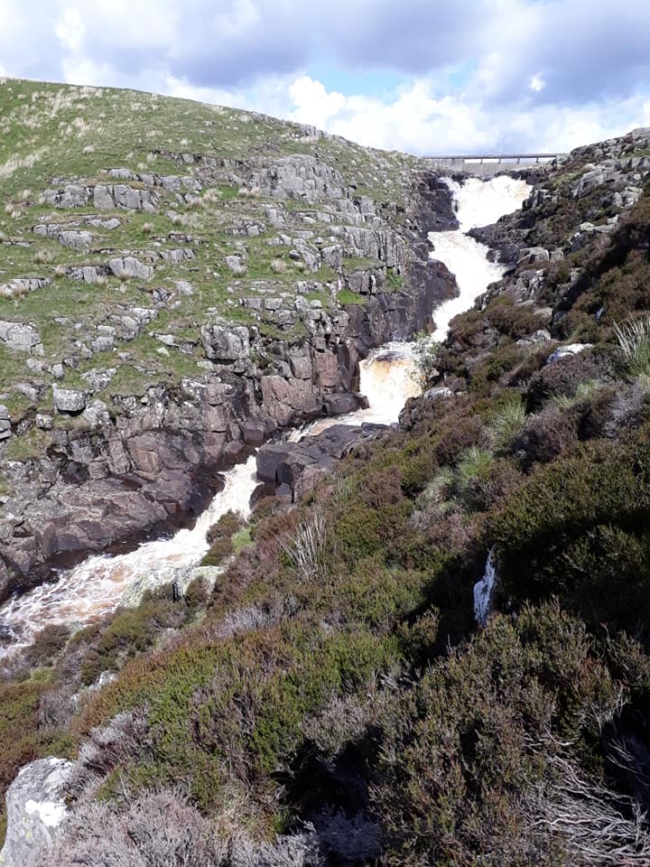
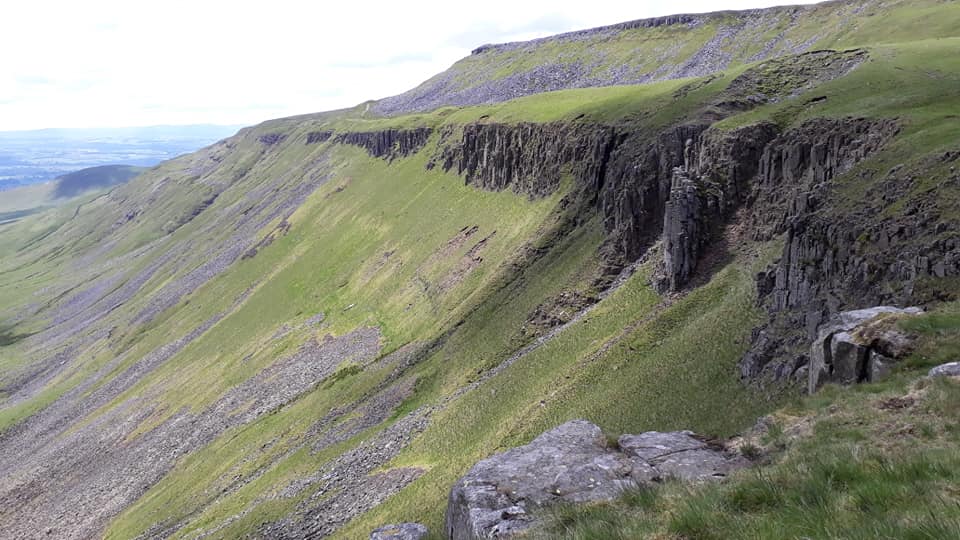
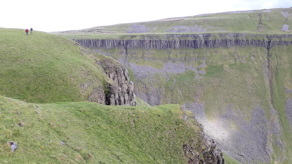
The route continues along the Tees, climbing up beside the waterfall of Cauldron Snout below Cow Green Reservoir. The trail then ascends the gently rising side valley of Maize Beck to reach High Cup Nick, one of the most memorable points on the Pennine Way. From High Cup the trail descends to the village of Dufton.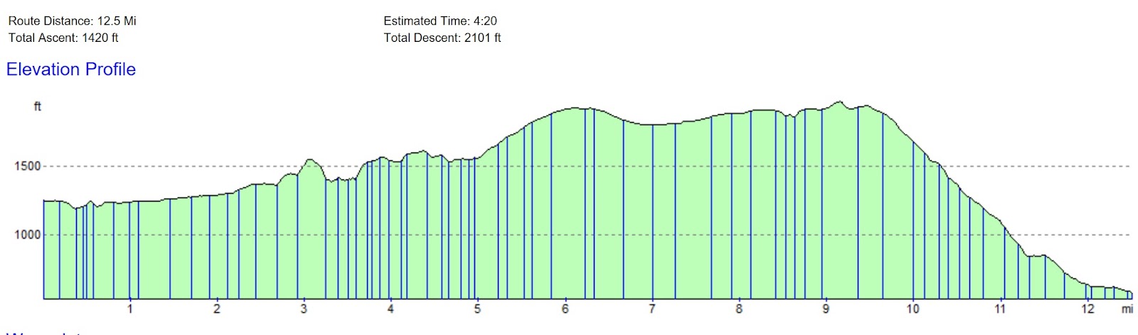
Pics contributed by Pete and Rachael; text by Maria.
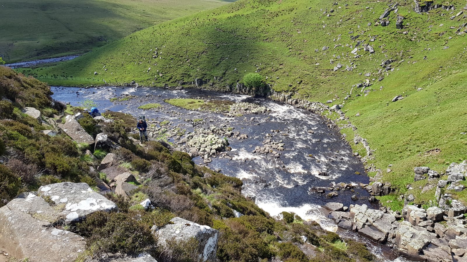
It was a beautiful sunny day [and about time, too – ed.] when we started our walk today though the fields and moors of Moor House Upper Teesdale National Nature reserve. We soon joined the footpath along the River Tees that took us to the waterfall of Cauldron Snout.
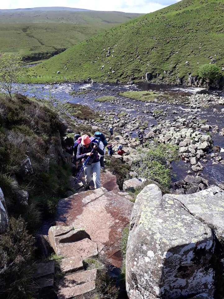
We carried on to the trail on the other side of the river through the valley of Maize Beck and had lunch by the river.

After a few more miles we arrived at High Cup Nick and had a break to enjoy the spectacular views from the top of the cliff.
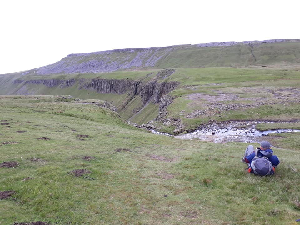

From there we walked down the hill to the village of Dufton.
The following video and report have been contributed by Damon, who has joined the group briefly en route. The video really brings the walk alive.
I’m Heather’s partner Damon, and I’ve popped in to see the intrepid IOG Pennine Way walkers a couple of times.
On Wednesday 5th June I drove up to Middleton in Teesdale to meet them on their way to Langdon Beck Youth Hostel. There was actually more to it than that, but it involves a complex sequence of logistical exchanges, involving a car and a bicycle. They turned up a bit later than they’d thought, as the the walk from Bowes involved unexpectedly hard hills.
I’d cycled from Middleton to Langdon Beck a number of times, but I’d never walked. I’d seen High Force Waterfall, but the rest of the afternoon proved to be a delight, but I had fresh legs of course. This short video shows that, and some of the scenes from Thursday.
Langdon Beck Hostel did us proud, lacking only something to drink in the evening, that’s where the car came in handy, enabling a trip to the Co-Op for refreshment.
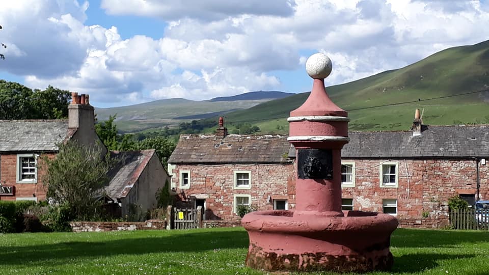
On Thursday we went to Dufton, via Cauldron Snout waterfall and High Cup Nick. I spent most of the morning walking on my own, due to car-shuffling logistics, joining the group above Cauldron Snout. Dufton proved to be a lively place, thanks to Appleby Horse Fair.
On Friday the destination was Alston, where my bicycle was waiting for me to cross the 2,000-foot Yad Moss pass, back to the car at Langdon Beck. Th first big hill of the the day was Great Dun Fell, which I’d never climbed before, unlike the neighbouring Cross Fell, which I’ve done twice, once on skis.
The forecast of heavy rain in the afternoon put me off a gruelling bike ride at the end of a 20-mile hike, so I struck off across the moors on my own, following streams and the River Tees in case mist came down. I reached the car just as it started to rain heavily. I arrived at Alston Hostel at about 5.30pm and asked if the group had got back. I was told that was confidential information, Lord knows why, but we live in mysterious times. I did persuade the warden of my good intentions. The group hadn’t arrived, so I walked about a mile to meet them as the wended their way, beside the River Tyne.
All in all a very nice couple of days and a half.
DAY 13 – Friday 7th June
Dufton to Alston – 19 Miles
From Dufton the Pennine Way climbs back up the fells, passing in turn the summits of Knock Fell, Great Dun Fell, Little Dun Fell and finally Cross Fell, at 893 metres (2,930 ft) the highest point on the entire path. A long descent follows to the valley of the South Tyne at Garrigill. The trail then keeps close to the river to enter the town of Alston.
Pics contributed by Rachael, Francis and Pete

After a strange evening in Dufton which involved traveling horse traders, police horses and an air ambulance, we headed out early in glorious sunshine. A long ascent up Knock Old Man towards Green Fell had us peeling off the layers pretty quickly. Our newest recruit, Francis, made his first metamorphosis by promptly disappearing behind a wall to change into his shorts.
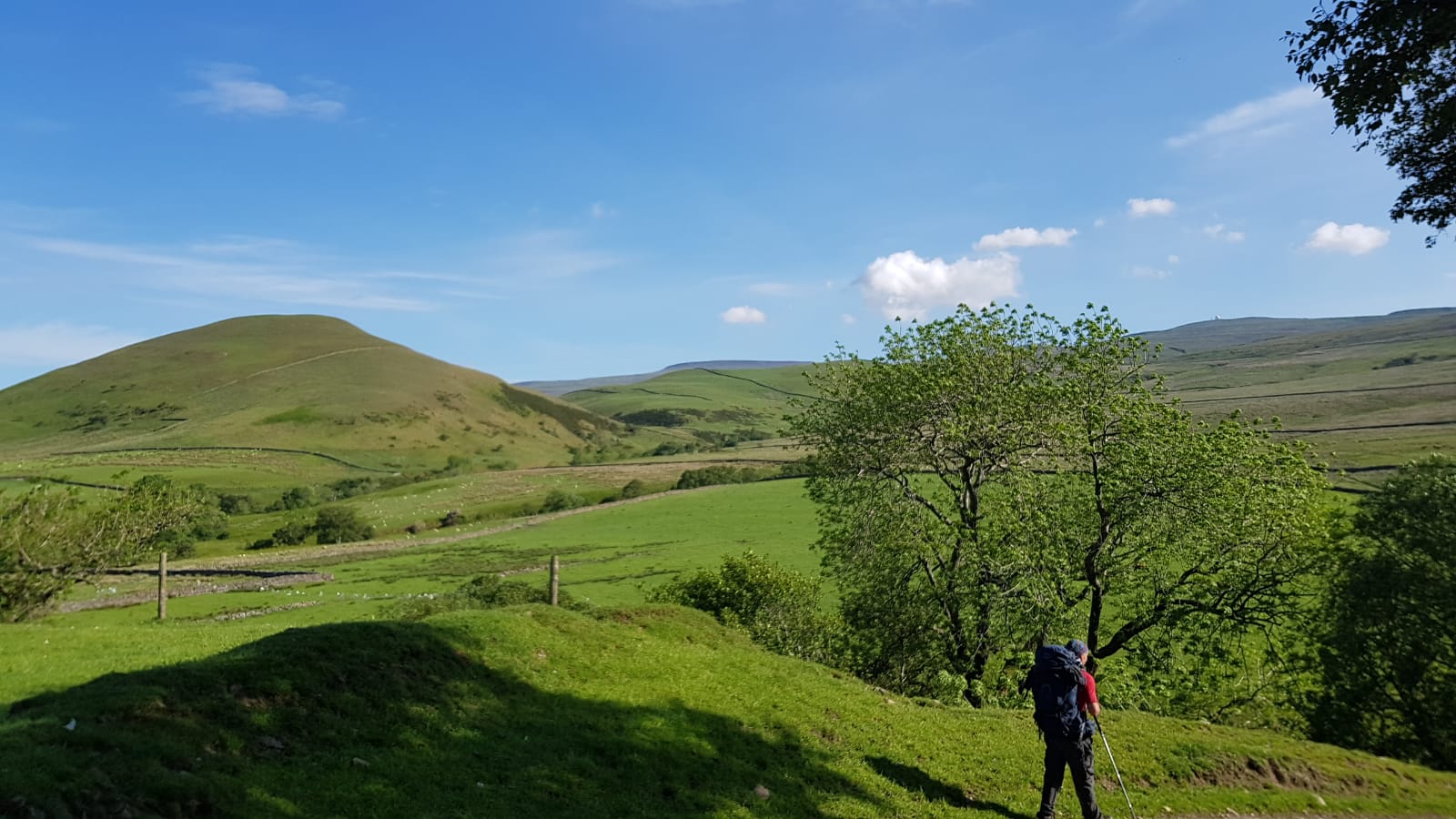

We progressed on to the radar station at Great Dunn Fell where the giant golf ball looked ready to be struck into the Lake District.

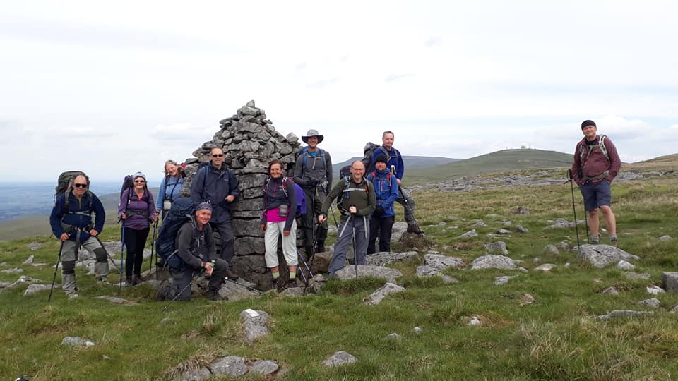
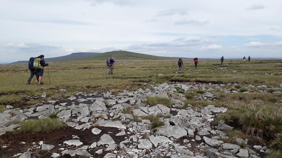

Next we headed on to the high point of the Pennine Way, Cross Fell, at just under 3,000 ft. Heather has suggested that this is the highest point between here and the Ural Mountains to the East.
A quick lunch in the solidly built shelter at the top in increasingly windy conditions coincided with meeting an Italian who was on a pilgrimage from Cape Wrath to his home in Tuscany. That was unusual but he was hot on the heels of a Canadian heading to Rome with a red and white ice hockey stick wrapped in Rosary beads. Like I said, not the extremes we expected!
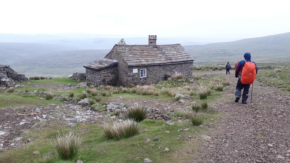

The descent along a never-ending yellow track across the lifeless moor was, by mutual agreement, a drag. To add to the foreboding atmosphere, the rain closed in and Francis was transformed into a giant raven by his grey ill-fitting poncho outside the bothie known as Greg’s hut.
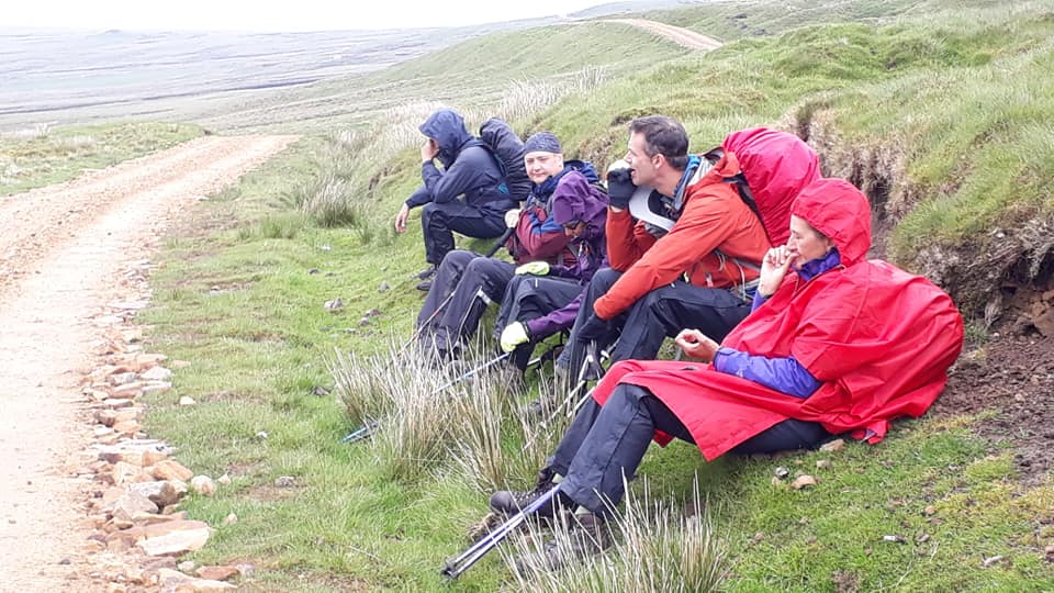
The mood was lightened by a refreshment stop in Garrigill which comprised a seat that was large enough to accommodate all 13 of us around a tree with a large canopy as shelter from the rain. Admittedly a poor substitute for the closed pub or even the art gallery that Miriam tried to turn into a tea-room, but a welcome break nonetheless.
Our final stage of 4 miles or so along the banks of the South Tyne and through countless fields and over countless stiles would have been lovely under different circumstances. Outside the hostel, we said our goodbyes to Damon who had finished his second cameo and was heading home to Leyland, before we trudged to the Cumberland Hotel in the rain. Some decent food and a good selection of ales and ciders may have been the perfect prep for another long day tomorrow……..hic…..Watch this space!
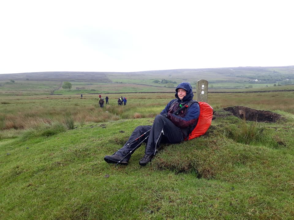
Day 14 – Saturday 8th June
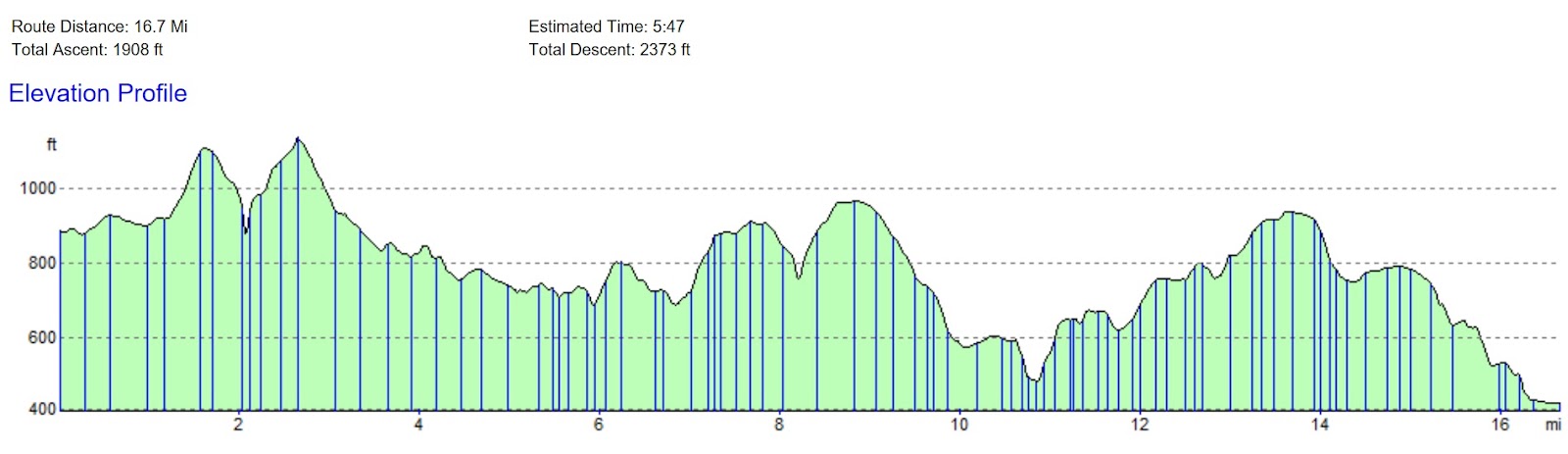
Alston to Greenhead – 17 Miles – 8.20-18.30
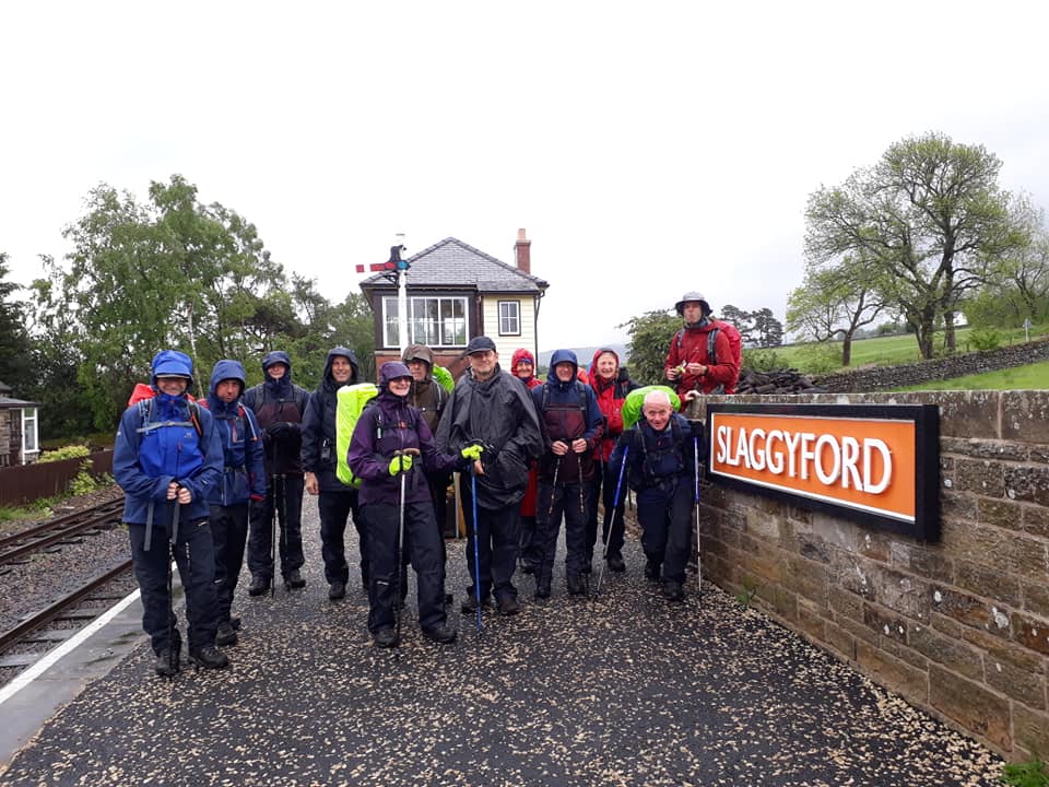
The trail continues down the valley of the South Tyne to Slaggyford and Knarsdale. Above the village of Lambley the trail leaves the valley to cross more moorland to the village of Greenhead.
Text contributed by Francis; pics contributed by Francis and Rachael

This could have been an amazing walk- one of our favourites. Gentle slopes of farmland, woods and heath. Curlews and lapwings taking to the sky, shouting warnings of our presence. The sound of a cuckoo. Sheep, cows and horses. The smell of wild garlic. A stroll through pastoral England in June sunshine. But it rained. That determined continuous biting rain. Head down, cold, wet and wishing it was over. Footpaths were boggy, rivers of mud and rivers of, well, river.
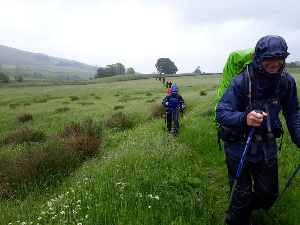

Layers of waterproofs but no Gortex could keep us dry. Feet squelching in boots. Everything becomes difficult. Got to be desperate to bother with a wee. You get the picture. Glad we live down south in Suffolk – we don’t know real rain. For Rachael this is ideal, refreshing weather; almost perfect.

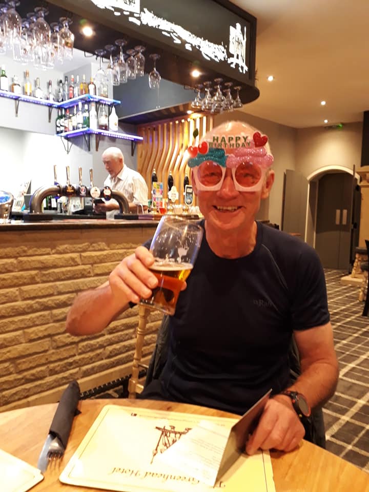
On a positive note, it’s Steve’s birthday – and he’s looking great for his late sixties [note writer – ed.]. See the picture. He’s fond of wearing stupid stuff and looking stupid so a few laughs at breakfast and hoping for more this evening.
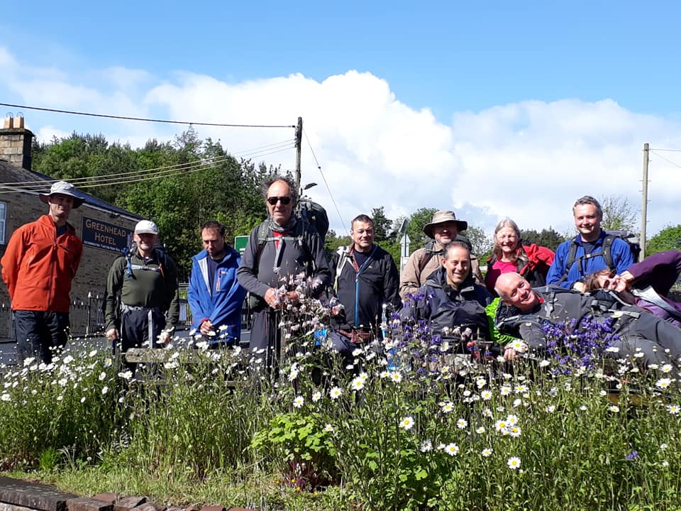
DAY 15 – Sunday 9th June
Greenhead to Twice Brewed – 8.6 Miles
Pics contributed by Francis, Rachael; text by Miriam.
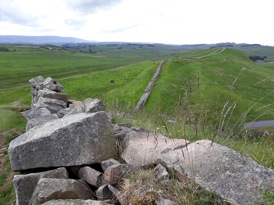
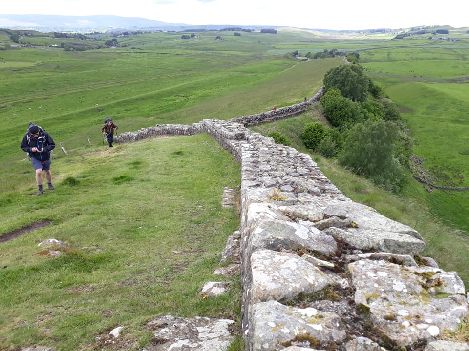
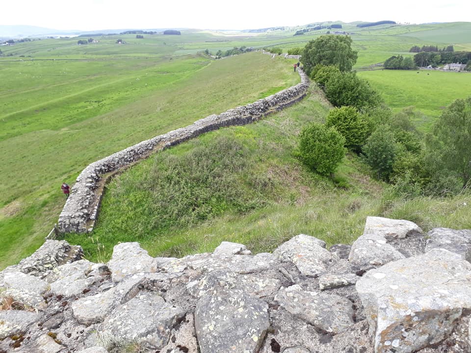
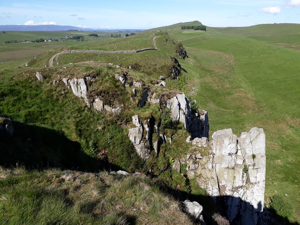
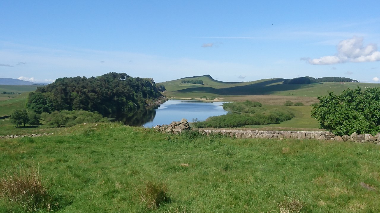
From Greenhead the Pennine Way passes Thirlwall Castle on Hadrian’s Wall. This next section of route coincides with the Hadrian’s Wall Path, following the wall closely over Cawfield Crags and Winshield Crags to Twice Brewed, some of the best parts of Hadrian’s Wall.
After a thorough soaking yesterday, we spent today in bright sunshine with friendly winds.
Flower of the day: ‘Veronica’, a variety of speedwell. Little blue flowers peeping up at us from between fresh grasses.
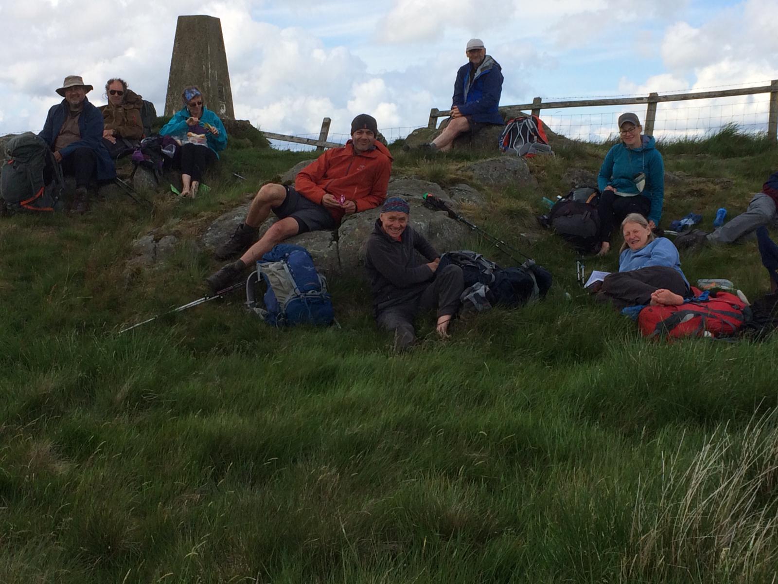
Summit of the day: Winshields Crag, elevation 345m.
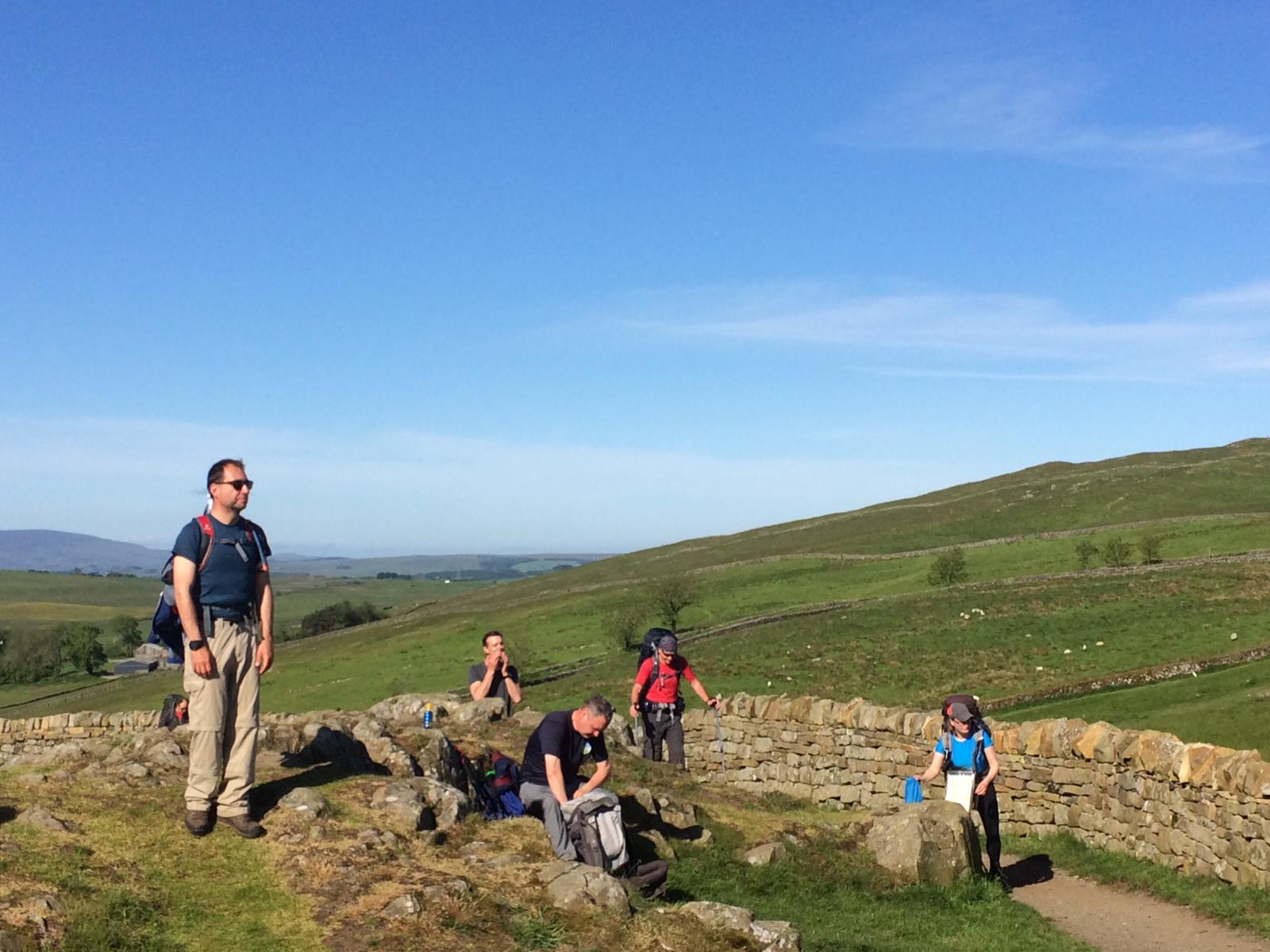
This was our ‘rest day’ so we had plenty of time to learn about the history of Hadrian’s Wall and the many other Roman landmarks. On this clear day, the views from the wall are stunning and we have an appreciation of how far we have come, approximately 236 miles. ‘Well done feet’!


The Sill YHA and visitors’ centre is a purpose built structure with wild flowers sown in the flower beds and on the turf roof. Lots of opportunity to spot and name flowers. Staying at the Sill YHA tonight and, after achieving our first priority: ‘Laundry’ – we have now scattered to chill out before pub dinner at the ‘Twice Brewed’.
DAY 16 – Monday 10th June
Twice Brewed to Bellingham – 15 Miles
The route continues for another mile or so along the wall past Crag Lough. From the wall the trail heads north through Wark Forest. Past the forest it follows field paths to Shitlington Crags and descends to the large village of Bellingham.
Text contributed by Toby; pics by Francis, Rachael and Toby.
Day 16 dawned bright and sunny – tempting many of us to don t-shirts and shorts, and apply plenty of sunscreen. The half-length walk on the day previous seemed to delude some of the members of our group into thinking they were on some sort of holiday where they could enjoy themselves – or maybe we were just happier after some rest. Whatever it was everyone seemed in a playful mood.
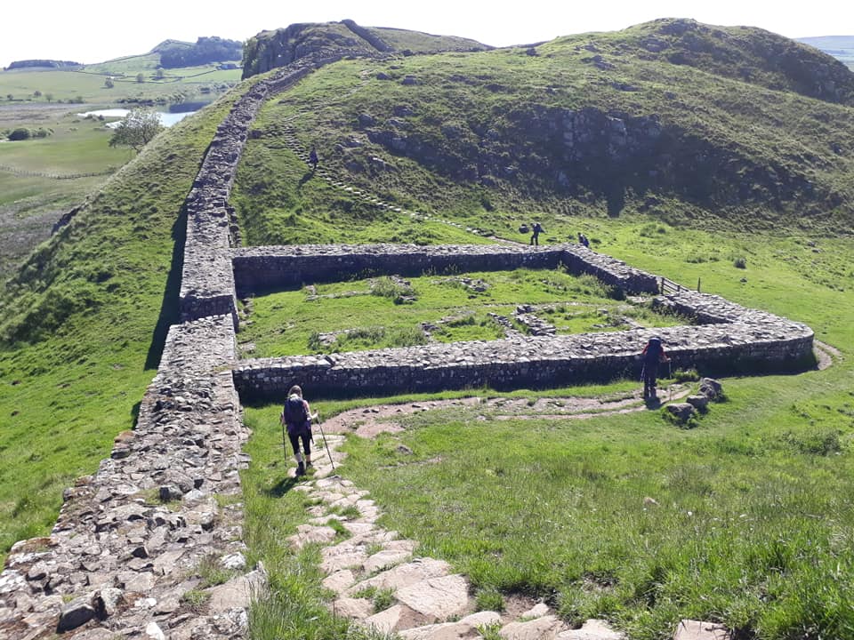
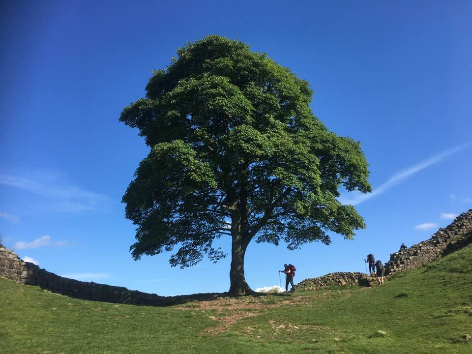
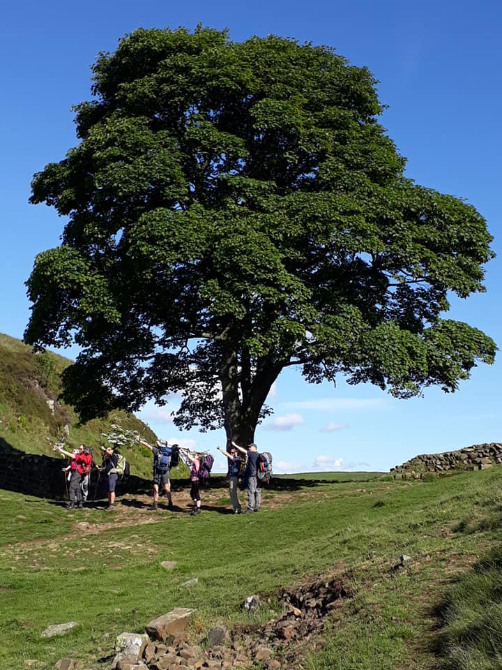
We picked up the trail on Hadrian’s Wall again, going up and down the crags and gaps; one of these has a splendid oak tree spread across it that was used in the motion picture “Robin Hood Prince of Thieves”. We imitated Kevin Costner & Morgan Freeman firing their bows at the Sheriff of Nottingham. Views to the south were excellent; we could see Cross Fell in the distance where we had been just three days before.

After a couple of miles more along the wall, we headed off NE across rolling farm fields. Eventually we reached some conifer forests which, although muddy underfoot, were pleasantly cool. Then an equally muddy moor crossing, where during a brief pause Francis decided to liven up things for the folks at home by having a “whose knees are these?” photo competition on WhatsApp. I generously donated my knees to the contest.
We crossed more forest and farmland, and just after lunch we came across a “pit stop” shop in a farm shed where I grabbed some extra supplies which were then nearly stolen by some very friendly horses. I think they supplement their diet with apples from passing hikers.

Eventually we climbed the final hill before Bellingham, and a quick road walk got us to North Tyne and our stop for the night. We are self-catering so Rachael and helpers are now cooking up something special in the kitchen.
DAY 17 – Tuesday 11th June
Bellingham to Byrness – 16 Miles
More remote country follows, across Padon Hill and the edge of Redesdale Forest. The trail eventually reaches Redesdale at Blakehopeburnhaugh and Cottonshopeburnfoot, two neighbouring hamlets which compete for the longest name in England. The route then follows the River Rede upstream to the village of Byrness.
The day started with a well-practised routine in the girl’s room, 30 mins before breakfast at 7.15am today. Mechanical packing, everything carefully sorted and stuffed in plastic bags, sealed against the rain, and loaded back into the rucksack for the umpteenth time.
Text contributed by Heather; pics by Rachael
Self-catering breakfast so more time required to find, feed, water and tidy up after ourselves before we left at 8.30am.
We were straight into a long, gradual climb out of Bellingham and the familiar sounds that have accompanied us throughout this journey: the bleating of a lost lamb and the bubbling of the curlew. 11 of us set out as a gang this morning, but Albert had actually snuck off earlier, and it was a game of hare and hounds as he maintained his lead all day, and we played ‘Albert-spotting’ as we crested each hill.
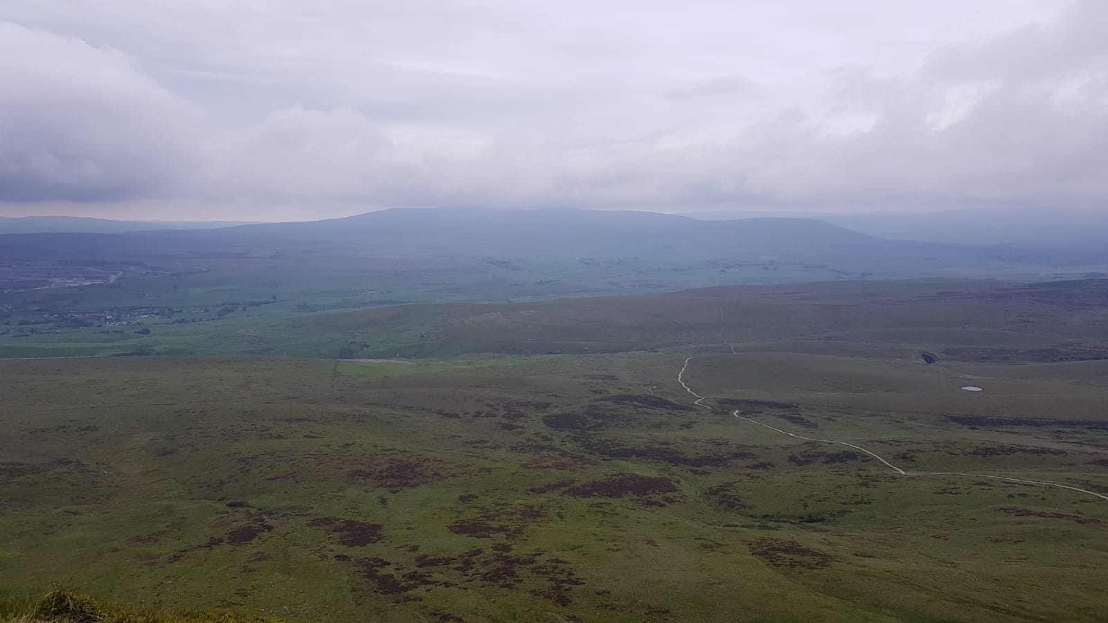
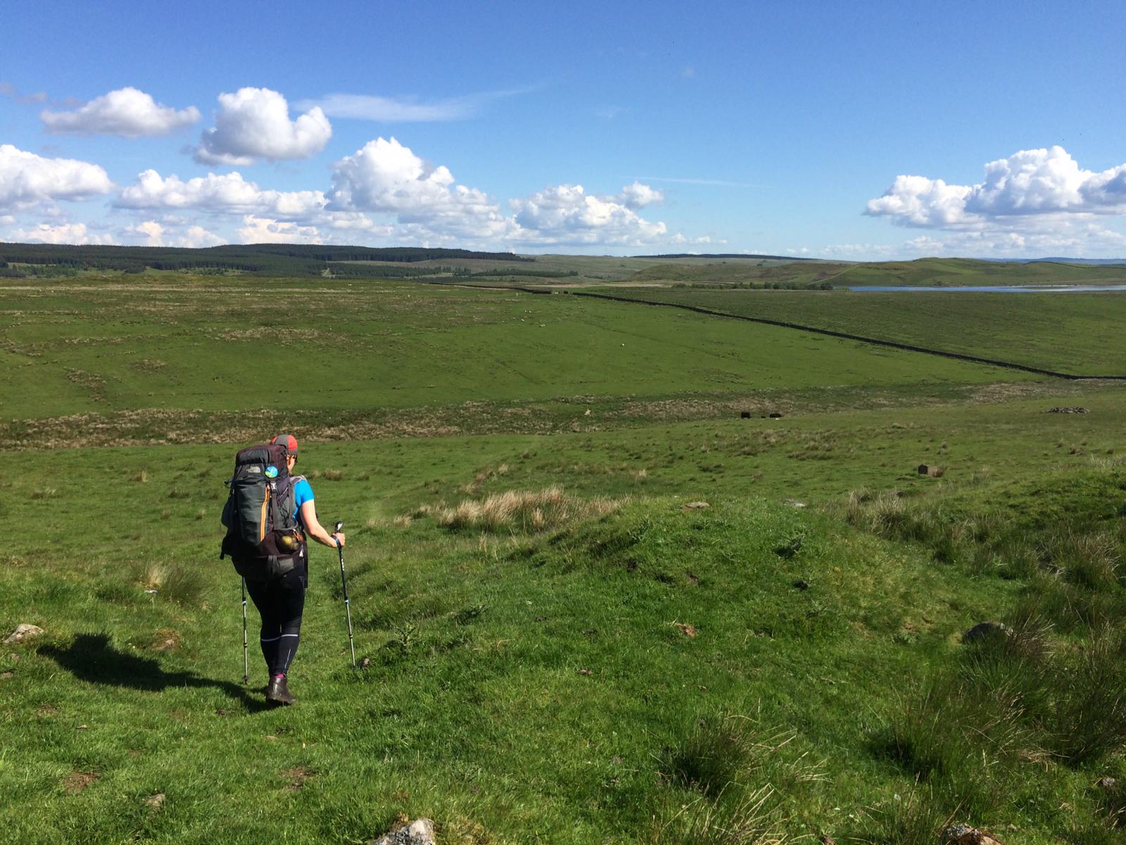
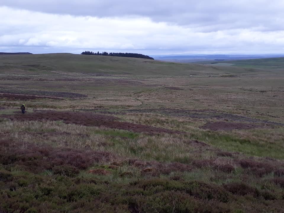
After about 7km we’d risen 250m up onto a hill with the fantastic name Deer Play. The view north from there revealed the Cheviots (tomorrow’s goal), but the view south was even more amazing as we could still see Great Dun Fell, Little Dun Fell and Cross Fell way, way in the distance – hills we’d walked 4 whole days ago!
The path continued across a huge open expanse of heather moorland which wasn’t as wet as expected but now there was no sign of anywhere to shelter for lunch out of the fresh breeze. We pressed on, spotting cranberry in flower, and round-leaved sundew. Finally, at around 8 miles we’d reached the southern edge of the vast Redesdale Forest and split up to shelter variously by an old wall or a dip in the bracken and eat.
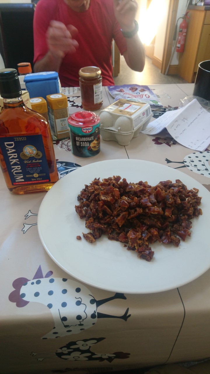
Self-catering always results in a bizarre collection of leftovers to deal with, and we’d done our best not to waste any thing by leaving it behind so lunch this time could have consisted of anything from the usual sandwiches, crisps and apples to pears, grapes, tomato puree, bagged salad, a half bottle of rum, custard powder, red wine or tinned tomatoes we were collectively carrying. Nice.
[Meanwhile, the editor of this blog was lunching on grilled langoustines and chilled Pinot Grigio on the waterfront of the little Venetian island of Mazzorbo – and blessing the shade and the breeze; it was rather warm! – ed.]

The section after lunch was easy – a quick climb up Brownrigg Head and then a long gradual descent down well-surfaced forest tracks through the endless commercial plantation of regimented spruce and larch. The views were good though, with interesting plants along the tracks including more northern marsh orchids, some violet coloured milkwort and quaking grass. An odd mix.
Finally we were back down to civilisation at the tiny hamlet of Blakehopeburnhaugh (surely they must shorten that name?) and then our final destination of Byrness. We visited the tiny church of St Francis there with its stained glass window dedicated to the 64 workers killed in the construction of the nearby Catcleugh Reservoir (and paid for by the work force).
We’ve now checked into the Forest View Inn and settled in to take advantage of the hot showers and great food. Or, in Steve’s case, set off the fire alarm whilst investigating beers at the bar! No doubt another varied night awaits, before our second to last day tomorrow. At least we get a lift back to stay here again so we can leave all but the day stuff behind and carry a light load – hurrah!
Bye for now, Heather.
DAY 18 – Wednesday 12th June
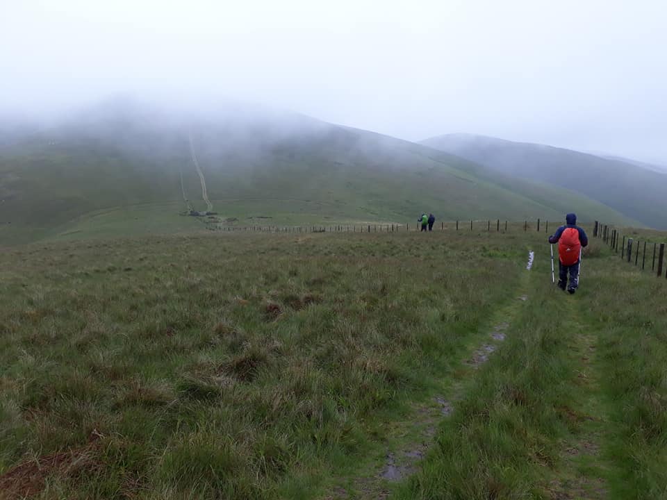
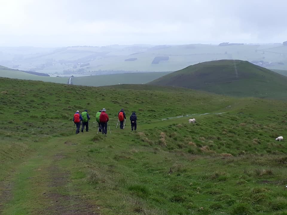
Byrness to Cocklawfoot – 16 Miles
The last stage of the Pennine Way, across the Cheviot Hills from Byrness to Kirk Yetholm, is 27 miles (43 km) long, with no habitation en route. We will be dividing this into two days. The trail climbs steeply from the village, then heads north to cross the Scottish border near Ogre Hill. For the rest of the stage the path switches between England and Scotland, along a fence which marks the border itself. Back in England the trail passes the Roman fort at Chew Green, and briefly follows the Roman road of Dere Street. The path then follows the border ridge, passing the high point of Windy Gyle. From here we will drop off the ridge at Cocklawfoot.
Pics taken by Rachael & Torben; story contributed by Torben
After the first of two comfortable nights at the Forest View Inn (a business that is up for sale if anyone is interested), we were greeted at breakfast by the sight of our dried and numbered boots and insoles. All part of the service from our hosts, the never smiling Colin and Joyce.
Dry clothing and boots were a luxury that was unlikely to persist for long, based on the forecast. We headed up through the forest on steep, boggy tracks onto the Cheviots where above the tree line we were hit with a strong headwind which gave a different character to the relentless rain. 2.5 miles in Francis made the decision to turn back whilst the rest of us tied down our rucksack covers to avoid being blown away and pressed on. A day of bog-hopping in low cloud with limited opportunity for conversation meant we had to make do with the skylarks for company.
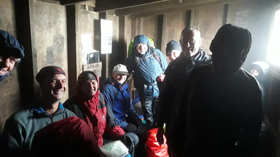
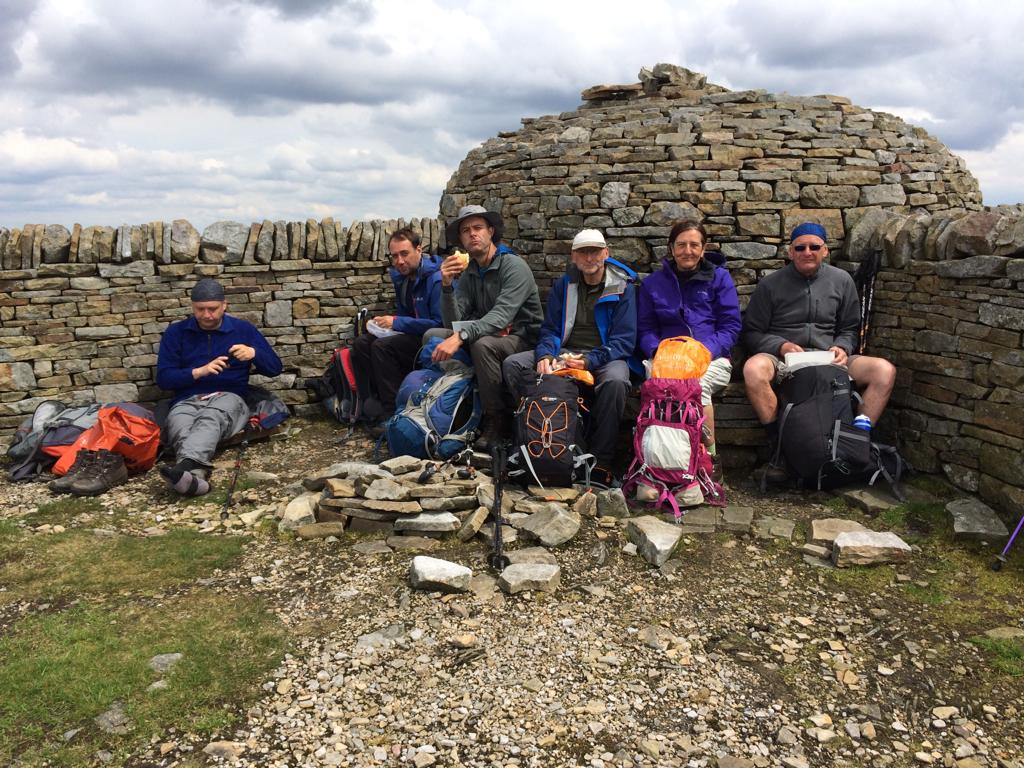
The highlight of the day was peeling off the wet layers in the shelter of the mountain rescue hut and enjoying the simple pleasures of lunch and relaxed conversation before heading out into the cold for a second soaking.
The views from the Cheviots are said to be lovely but today the hills were not compliant… Some might say they were the Mischeviots.


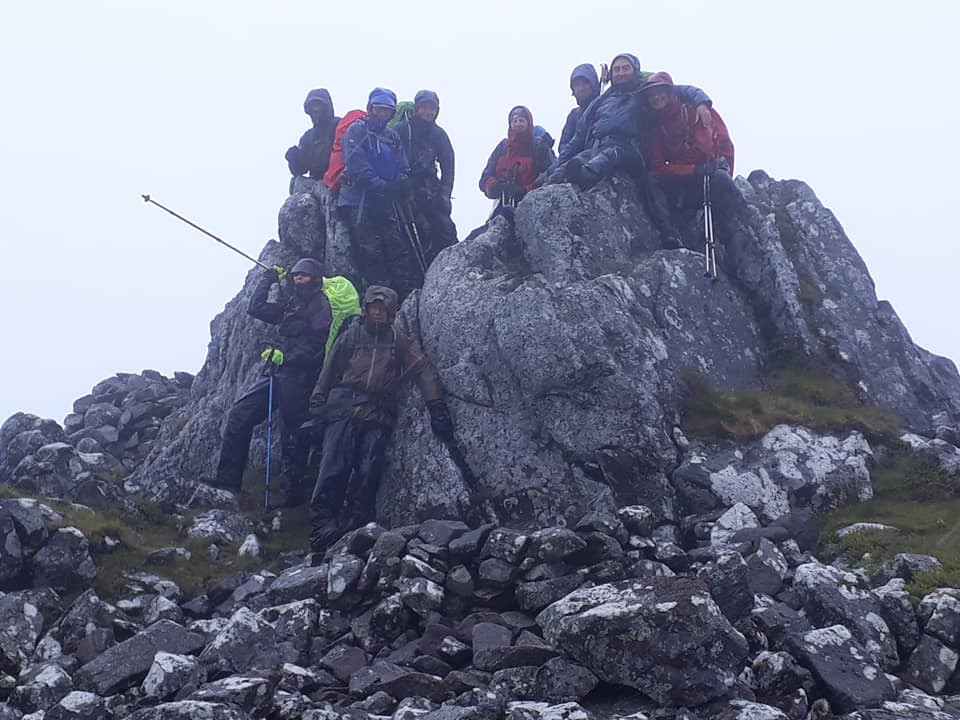
We reached the trig point at Windy Gyle and after a quick photo we descended to the pick-up point at Trows. The waiting minibus was a welcome sight and we were greeted by Joyce who seemed overjoyed to have Albert for company in the front seats of the minibus for a steamy ride back to base! Thanks to those who held back for the taxi.
Clothes drying, showering and pre-dinner sampling of local ales was followed by another hearty meal where haggis, neaps, tatties and a wee dram were favoured by the many.
DAY 19 – Thursday 13th June
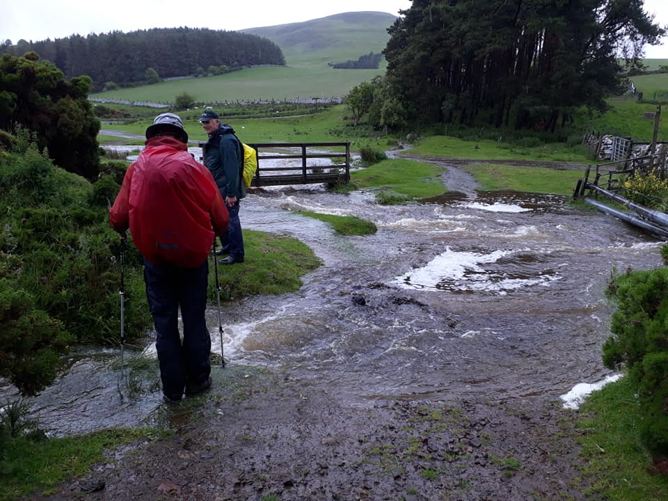
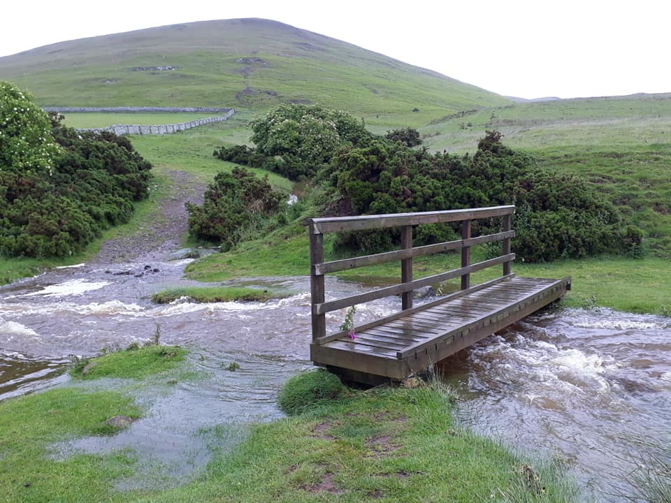
Cocklawfoot to Kirk Yetholm – 16 Miles
From Cocklawfoot we will need to climb back up onto the ridge and the continue onto the top of Cairn Hill (743 metres (2,438 ft)), from where there is a side trip to the summit of The Cheviot, the main path turns sharply northwest with the border fence, descending to a refuge hut before climbing The Schil at 601 metres (1,972 ft), above the College Valley. The path then descends into Scotland and enters the village of Kirk Yetholm. The path ends at the Border Hotel.
Pics taken by Rachael (except the final two)